Estimated Value: $204,000 - $226,000
3
Beds
1
Bath
960
Sq Ft
$225/Sq Ft
Est. Value
About This Home
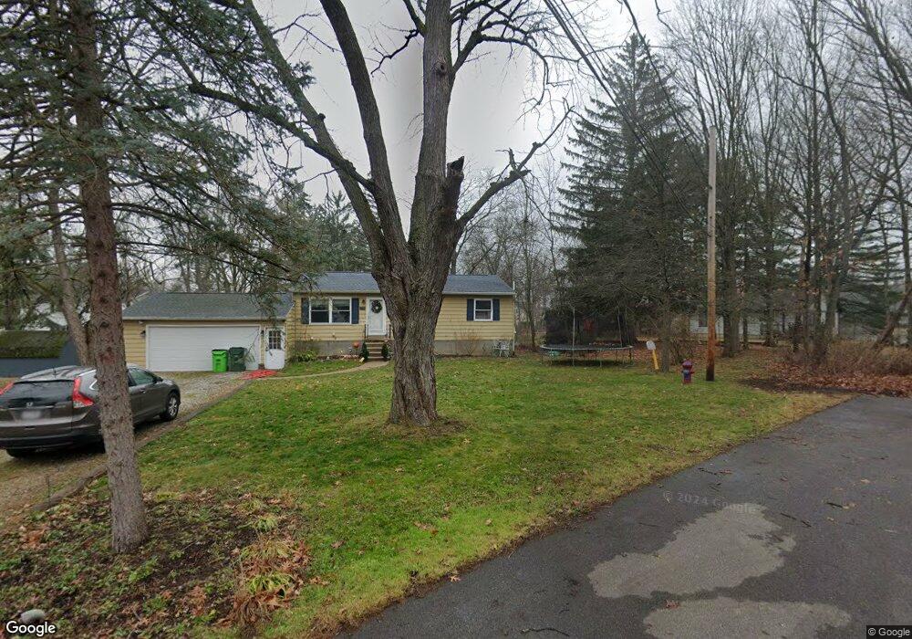
This home is located at 4860 Elmway Dr, Stow, OH 44224 and is currently estimated at $216,053, approximately $225 per square foot. 4860 Elmway Dr is a home located in Summit County with nearby schools including Stow-Munroe Falls High School, Primrose School of Hudson, and Holy Family Elementary School.
Ownership History
Date
Name
Owned For
Owner Type
Purchase Details
Closed on
Jul 1, 2010
Sold by
Tormey John R and Tormey Joan
Bought by
Dicesare James
Current Estimated Value
Home Financials for this Owner
Home Financials are based on the most recent Mortgage that was taken out on this home.
Original Mortgage
$113,446
Outstanding Balance
$75,950
Interest Rate
4.87%
Mortgage Type
FHA
Estimated Equity
$140,103
Purchase Details
Closed on
Sep 20, 2001
Sold by
Beeler Robert G and Beeler Irene R
Bought by
Tormey John R
Home Financials for this Owner
Home Financials are based on the most recent Mortgage that was taken out on this home.
Original Mortgage
$109,254
Interest Rate
6.97%
Mortgage Type
FHA
Create a Home Valuation Report for This Property
The Home Valuation Report is an in-depth analysis detailing your home's value as well as a comparison with similar homes in the area
Home Values in the Area
Average Home Value in this Area
Purchase History
| Date | Buyer | Sale Price | Title Company |
|---|---|---|---|
| Dicesare James | $115,000 | Ohio Real Title | |
| Tormey John R | $110,200 | Bond & Associates Title Agen |
Source: Public Records
Mortgage History
| Date | Status | Borrower | Loan Amount |
|---|---|---|---|
| Open | Dicesare James | $113,446 | |
| Previous Owner | Tormey John R | $109,254 |
Source: Public Records
Tax History Compared to Growth
Tax History
| Year | Tax Paid | Tax Assessment Tax Assessment Total Assessment is a certain percentage of the fair market value that is determined by local assessors to be the total taxable value of land and additions on the property. | Land | Improvement |
|---|---|---|---|---|
| 2025 | $3,063 | $53,911 | $9,142 | $44,769 |
| 2024 | $3,063 | $53,911 | $9,142 | $44,769 |
| 2023 | $3,063 | $53,911 | $9,142 | $44,769 |
| 2022 | $2,585 | $40,044 | $6,773 | $33,271 |
| 2021 | $2,317 | $40,044 | $6,773 | $33,271 |
| 2020 | $2,277 | $40,040 | $6,770 | $33,270 |
| 2019 | $2,225 | $36,550 | $6,070 | $30,480 |
| 2018 | $2,189 | $36,550 | $6,070 | $30,480 |
| 2017 | $2,094 | $36,550 | $6,070 | $30,480 |
| 2016 | $2,155 | $33,950 | $6,070 | $27,880 |
| 2015 | $2,094 | $33,950 | $6,070 | $27,880 |
| 2014 | $2,096 | $33,950 | $6,070 | $27,880 |
| 2013 | $1,996 | $32,490 | $6,070 | $26,420 |
Source: Public Records
Map
Nearby Homes
- 1470 Mac Dr
- 0 Hibbard Dr
- V/L Lawnmark Dr
- 4891 Cedar Crest Ln
- 4877 Cedar Crest Ln
- 1664 Cypress Ct
- 1511 Apollo Dr
- 1808 Higby Dr Unit A
- 1627 Cypress Ct
- 1938 Higby Dr
- V/L Housley Rd
- 4630 Red Willow Rd
- 1620 Sapphire Dr
- 1759 E Sapphire Dr
- 1884 Village Ct Unit X66
- V/L Norton Rd
- 734 Barlow Rd
- 5217 Beckett Ridge
- 5426 Port Chester Dr
- 2327 Crockett Cir
- 4864 Elmway Dr
- 1271 Meadowbrook Blvd
- 4865 Elmway Dr
- 1284 Meadowbrook Blvd
- 1284 Meadowbrook Ct
- 1259 Meadowbrook Blvd
- 1263 Meadowbrook Blvd
- 1257 Chestnut Dr
- 1291 Meadowbrook Blvd
- 1269 Chestnut Dr
- 1249 Chestnut Dr
- 1249 Chestnut Dr
- 1277 Meadowbrook Blvd
- 1245 Chestnut Dr
- 1244 Chestnut Dr
- 1239 Meadowbrook Blvd
- 1241 Chestnut Dr
- 1285 Meadowbrook Blvd
- 1264 Meadowbrook Blvd
- 1285 Meadowbrook Ct