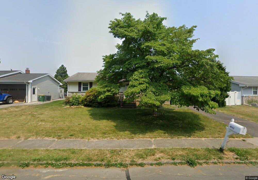
4861 Pine Grove Cir Allentown, PA 18106
Estimated Value: $296,000 - $361,000
3
Beds
2
Baths
1,232
Sq Ft
$269/Sq Ft
Est. Value
About This Home
This home is located at 4861 Pine Grove Cir, Allentown, PA 18106 and is currently estimated at $330,868, approximately $268 per square foot. 4861 Pine Grove Cir is a home located in Lehigh County with nearby schools including Wescosville Elementary School, Lower Macungie Middle School, and Emmaus High School.
Ownership History
Date
Name
Owned For
Owner Type
Purchase Details
Closed on
Jul 15, 2008
Sold by
Bodner William M
Bought by
Reifinger Rachel S
Current Estimated Value
Home Financials for this Owner
Home Financials are based on the most recent Mortgage that was taken out on this home.
Original Mortgage
$130,000
Outstanding Balance
$84,291
Interest Rate
6.17%
Mortgage Type
New Conventional
Estimated Equity
$246,577
Purchase Details
Closed on
Jun 1, 1998
Sold by
Preston Elizabeth L
Bought by
Bodner William M
Purchase Details
Closed on
Feb 27, 1976
Bought by
Preston Elizabeth L
Create a Home Valuation Report for This Property
The Home Valuation Report is an in-depth analysis detailing your home's value as well as a comparison with similar homes in the area
Home Values in the Area
Average Home Value in this Area
Purchase History
| Date | Buyer | Sale Price | Title Company |
|---|---|---|---|
| Reifinger Rachel S | $178,000 | -- | |
| Bodner William M | $88,000 | -- | |
| Preston Elizabeth L | $36,000 | -- |
Source: Public Records
Mortgage History
| Date | Status | Borrower | Loan Amount |
|---|---|---|---|
| Open | Reifinger Rachel S | $130,000 |
Source: Public Records
Tax History Compared to Growth
Tax History
| Year | Tax Paid | Tax Assessment Tax Assessment Total Assessment is a certain percentage of the fair market value that is determined by local assessors to be the total taxable value of land and additions on the property. | Land | Improvement |
|---|---|---|---|---|
| 2025 | $3,551 | $139,100 | $27,600 | $111,500 |
| 2024 | $3,436 | $139,100 | $27,600 | $111,500 |
| 2023 | $3,367 | $139,100 | $27,600 | $111,500 |
| 2022 | $3,287 | $139,100 | $111,500 | $27,600 |
| 2021 | $3,218 | $139,100 | $27,600 | $111,500 |
| 2020 | $3,187 | $139,100 | $27,600 | $111,500 |
| 2019 | $3,133 | $139,100 | $27,600 | $111,500 |
| 2018 | $3,091 | $139,100 | $27,600 | $111,500 |
| 2017 | $3,038 | $139,100 | $27,600 | $111,500 |
| 2016 | -- | $139,100 | $27,600 | $111,500 |
| 2015 | -- | $139,100 | $27,600 | $111,500 |
| 2014 | -- | $139,100 | $27,600 | $111,500 |
Source: Public Records
Map
Nearby Homes
- 4881 Spruce Rd
- 1270 Minesite Rd
- 4626 N Hedgerow Dr
- 1045 Barnside Rd
- 1385 Brookside Rd
- 5300 Hanover Dr
- 5133 Meadow Ln
- 997 Village Round Unit K
- 997K Village Round Unit 104K
- 1037 Village Round Unit L
- 5280 Townsquare Dr
- 1675 Hamlet Dr
- 5475 Hamilton Blvd Unit 7
- 5524 Stonecroft Ln
- 5619 Stonecroft Ln
- 5673 Wedge Ln
- 5175 Meadowview Dr
- 5736 Greens Dr
- 2117 Isabel Ln
- 2153 Isabel Ln
- 4871 Pine Grove Cir
- 4845 Pine Grove Cir
- 4828 Hemlock St
- 4822 Hemlock St
- 4887 Pine Grove Cir
- 4858 Pine Grove Cir
- 4874 Pine Grove Cir
- 4832 Hemlock St
- 4841 Pine Grove Cir
- 4846 Pine Grove Cir
- 4882 Pine Grove Cir
- 4897 Pine Grove Cir
- 4816 Hemlock St
- 4846 Hemlock St
- 4844 Pine Grove Cir
- 4900 Pine Grove Cir
- 4825 Hemlock St
- 4821 Hemlock St
- 4837 Hemlock St
- 4911 Pine Grove Cir