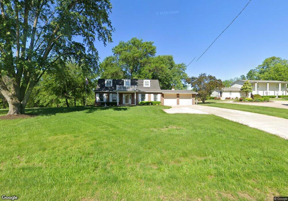
4861 South Point Rd Washington, MO 63090
Estimated Value: $331,000 - $437,197
4
Beds
1
Bath
2,406
Sq Ft
$157/Sq Ft
Est. Value
About This Home
This home is located at 4861 South Point Rd, Washington, MO 63090 and is currently estimated at $378,299, approximately $157 per square foot. 4861 South Point Rd is a home located in Franklin County with nearby schools including Washington High School, Our Lady of Lourdes Catholic School, and Immanuel Lutheran School.
Ownership History
Date
Name
Owned For
Owner Type
Purchase Details
Closed on
Nov 13, 2020
Sold by
Green Kenneth E and Green Bridget A
Bought by
Zanin Carol A
Current Estimated Value
Purchase Details
Closed on
Sep 1, 2017
Sold by
Zanin Carol A and Zanin Terry A
Bought by
Zanin Carol
Purchase Details
Closed on
Aug 28, 2017
Sold by
Zanin Terry A and Zanin Rebecca
Bought by
Zanin Carol A
Purchase Details
Closed on
Aug 24, 2017
Sold by
Zanin Carol A and Zanin Terry A
Bought by
Zanin Carol A and Green Kenneth E
Create a Home Valuation Report for This Property
The Home Valuation Report is an in-depth analysis detailing your home's value as well as a comparison with similar homes in the area
Home Values in the Area
Average Home Value in this Area
Purchase History
| Date | Buyer | Sale Price | Title Company |
|---|---|---|---|
| Zanin Carol A | -- | None Available | |
| Zanin Carol | -- | -- | |
| Zanin Carol A | -- | -- | |
| Zanin Carol A | -- | -- |
Source: Public Records
Tax History Compared to Growth
Tax History
| Year | Tax Paid | Tax Assessment Tax Assessment Total Assessment is a certain percentage of the fair market value that is determined by local assessors to be the total taxable value of land and additions on the property. | Land | Improvement |
|---|---|---|---|---|
| 2024 | $2,355 | $43,666 | $0 | $0 |
| 2023 | $2,355 | $43,666 | $0 | $0 |
| 2022 | $2,208 | $41,019 | $0 | $0 |
| 2021 | $2,201 | $41,019 | $0 | $0 |
| 2020 | $2,038 | $36,558 | $0 | $0 |
| 2019 | $2,032 | $36,558 | $0 | $0 |
| 2018 | $1,986 | $35,454 | $0 | $0 |
| 2017 | $1,983 | $35,454 | $0 | $0 |
| 2016 | $1,784 | $32,429 | $0 | $0 |
| 2015 | $1,686 | $32,429 | $0 | $0 |
| 2014 | $1,566 | $30,138 | $0 | $0 |
Source: Public Records
Map
Nearby Homes
- 4840 S Point Rd
- 2789 Earth Crest Dr
- 235 N Crest Dr
- 233 N Crest Dr
- 232 N Crest Dr
- 2785 Earth Crest Dr
- 2783 Earth Crest Dr
- 3000 Deutsch Crest Dr
- 182 Hank's Close Unit 182 STB
- 2550 E 5th St
- 180 Hank's Close Unit 180 STB
- 176 Hank's Close Ct Unit 176 STB
- 183 Hank's Close Rd Unit 183 STB
- 178 Hank's Close Ct Unit 178 STB
- 162 Pellin's Ct Unit 162 STB
- 2787 Stonecrest Dr
- 181 Hank's Close Unit 181 STB
- 110 Fiddler's Close Ct Unit 110 STB
- 104 Fiddler's Close Ct Unit 104 STB
- 2389 Fiddler's Close Rd Unit 112 STB
- 4859 South Point Rd
- 4871 South Point Rd
- 4855 South Point Rd
- 4872 South Point Rd
- 4901 South Point Rd
- 4851 South Point Rd
- 4851 S Point Rd
- 4836 South Point Rd
- 4902 South Point Rd
- 4850 South Point Rd
- 4846 South Point Rd
- 4911 South Point Rd
- 4921 South Point Rd
- 4921 South Point Rd
- 4914A South Point Rd
- 4840 South Point
- 4840 South Point Rd
- 111 Barrett Dr
- 4 Thorn Tree Ln
- 2 Thorn Tree Ln