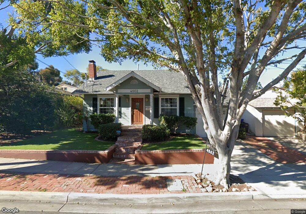
4862 39th St San Diego, CA 92116
Normal Heights NeighborhoodEstimated Value: $1,474,000 - $1,668,000
3
Beds
2
Baths
1,733
Sq Ft
$899/Sq Ft
Est. Value
About This Home
This home is located at 4862 39th St, San Diego, CA 92116 and is currently estimated at $1,557,821, approximately $898 per square foot. 4862 39th St is a home located in San Diego County with nearby schools including Normal Heights Elementary, Wilson Middle School, and Herbert Hoover High School.
Ownership History
Date
Name
Owned For
Owner Type
Purchase Details
Closed on
Nov 4, 2024
Sold by
Honig Lisa and Honig Amanda J
Bought by
Honig Legacy Trust and Honig
Current Estimated Value
Purchase Details
Closed on
Jan 30, 2016
Sold by
Parent Francine G and Weber Bradley L
Bought by
Parent Weber Trust
Home Financials for this Owner
Home Financials are based on the most recent Mortgage that was taken out on this home.
Original Mortgage
$648,000
Interest Rate
3.42%
Mortgage Type
VA
Purchase Details
Closed on
Apr 16, 1996
Sold by
Geiger Gene E and Geiger Pamela C
Bought by
Weber Bradley L and Parent Francine G
Home Financials for this Owner
Home Financials are based on the most recent Mortgage that was taken out on this home.
Original Mortgage
$161,500
Interest Rate
7.82%
Create a Home Valuation Report for This Property
The Home Valuation Report is an in-depth analysis detailing your home's value as well as a comparison with similar homes in the area
Home Values in the Area
Average Home Value in this Area
Purchase History
| Date | Buyer | Sale Price | Title Company |
|---|---|---|---|
| Honig Legacy Trust | -- | None Listed On Document | |
| Parent Weber Trust | -- | None Available | |
| Honig Lisa | $840,000 | California Title Company | |
| Weber Bradley L | $170,000 | Chicago Title Co |
Source: Public Records
Mortgage History
| Date | Status | Borrower | Loan Amount |
|---|---|---|---|
| Previous Owner | Honig Lisa | $648,000 | |
| Previous Owner | Weber Bradley L | $161,500 |
Source: Public Records
Tax History
| Year | Tax Paid | Tax Assessment Tax Assessment Total Assessment is a certain percentage of the fair market value that is determined by local assessors to be the total taxable value of land and additions on the property. | Land | Improvement |
|---|---|---|---|---|
| 2025 | $11,687 | $974,886 | $667,333 | $307,553 |
| 2024 | $11,687 | $955,772 | $654,249 | $301,523 |
| 2023 | $11,427 | $937,032 | $641,421 | $295,611 |
| 2022 | $11,122 | $918,660 | $628,845 | $289,815 |
| 2021 | $11,044 | $900,648 | $616,515 | $284,133 |
| 2020 | $10,910 | $891,414 | $610,194 | $281,220 |
| 2019 | $10,713 | $873,936 | $598,230 | $275,706 |
| 2018 | $10,014 | $856,800 | $586,500 | $270,300 |
| 2017 | $9,791 | $840,000 | $575,000 | $265,000 |
| 2016 | $3,699 | $319,482 | $119,277 | $200,205 |
| 2015 | $3,644 | $314,684 | $117,486 | $197,198 |
| 2014 | $3,585 | $308,521 | $115,185 | $193,336 |
Source: Public Records
Map
Nearby Homes
- 4865 39th St
- 4762 E Mountain View Dr
- 3621 Collier Ave
- 4755-57 Terrace Dr
- 4736-38 Kensington Dr
- 4671-73 Terrace Dr
- 4965 Marlborough Dr
- 5011 E Mountain View Dr
- 4725 35th St Unit 7
- 4636-40 Cherokee Ave
- 4847-53 Mansfield St
- 4620 36th St
- 4530 38th St
- 4555-57 36th St
- 4209 Alder Dr
- 3535 Madison Ave Unit 134
- 5209 Benton Place
- 4640 Biona Dr
- 3909 Monroe Ave Unit 101
- 4253 Alder Dr
Your Personal Tour Guide
Ask me questions while you tour the home.