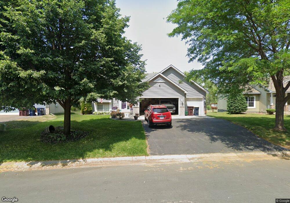
4863 187th St W Farmington, MN 55024
Estimated Value: $409,000 - $416,477
3
Beds
2
Baths
1,204
Sq Ft
$343/Sq Ft
Est. Value
About This Home
This home is located at 4863 187th St W, Farmington, MN 55024 and is currently estimated at $413,369, approximately $343 per square foot. 4863 187th St W is a home located in Dakota County with nearby schools including Akin Road Elementary School, Levi P. Dodge Middle School, and Farmington High School.
Ownership History
Date
Name
Owned For
Owner Type
Purchase Details
Closed on
Sep 23, 2004
Sold by
Reichow Mark M and Babcock Elizabeth L
Bought by
Burger Kenneth J and Burger Kimberly A
Current Estimated Value
Purchase Details
Closed on
Nov 14, 2003
Sold by
Key-Land Homes
Bought by
Reichow Mark M and Babcock Elizabeth L
Purchase Details
Closed on
Dec 23, 2002
Sold by
Progress Land Company Inc
Bought by
Mesa Properties Inc
Create a Home Valuation Report for This Property
The Home Valuation Report is an in-depth analysis detailing your home's value as well as a comparison with similar homes in the area
Home Values in the Area
Average Home Value in this Area
Purchase History
| Date | Buyer | Sale Price | Title Company |
|---|---|---|---|
| Burger Kenneth J | $256,500 | -- | |
| Reichow Mark M | $226,465 | -- | |
| Key-Land Homes | $64,175 | -- | |
| Mesa Properties Inc | $2,126,000 | -- |
Source: Public Records
Tax History Compared to Growth
Tax History
| Year | Tax Paid | Tax Assessment Tax Assessment Total Assessment is a certain percentage of the fair market value that is determined by local assessors to be the total taxable value of land and additions on the property. | Land | Improvement |
|---|---|---|---|---|
| 2024 | $4,922 | $383,700 | $109,600 | $274,100 |
| 2023 | $4,922 | $404,800 | $109,800 | $295,000 |
| 2022 | $4,616 | $385,400 | $109,500 | $275,900 |
| 2021 | $4,458 | $330,000 | $95,200 | $234,800 |
| 2020 | $4,538 | $317,300 | $90,700 | $226,600 |
| 2019 | $4,495 | $310,700 | $86,400 | $224,300 |
| 2018 | $4,171 | $302,400 | $80,100 | $222,300 |
| 2017 | $4,061 | $274,600 | $76,300 | $198,300 |
| 2016 | $3,992 | $261,000 | $72,600 | $188,400 |
| 2015 | $3,614 | $235,587 | $66,074 | $169,513 |
| 2014 | -- | $225,014 | $61,163 | $163,851 |
| 2013 | -- | $197,110 | $53,907 | $143,203 |
Source: Public Records
Map
Nearby Homes
- 18681 Dulaney Dr
- 18285 Dunbury Ave
- 4876 191st St W
- 4750 190th St W
- 5412 188th St W
- 18231 Elkwood Ave
- 18372 English Ave
- 19055 Enchanted Way
- 18840 Enhance Ct
- 19320 Ellington Trail
- 18400 Euclid St Unit 362
- 17895 Eclipse Ave
- 18325 Euclid St
- 19110 Euclid Path
- 18307 Euclid St
- 19145 Euclid Path
- 5695 Lower 182nd St W
- 19500 Blue Jay Ct
- 5509 Oriole Dr Unit 10
- 17811 Ellsworth Dr
- 4869 187th St W
- 4859 187th St W
- 4877 187th St W
- 4853 187th St W
- 4858 187th St W
- 4883 4883 187th-Street-w
- 4883 187th St W
- 18703 Dupont Way
- 4847 187th St W
- 4852 187th St W
- 18717 Dupont Way
- 18688 Dylan Dr
- 4889 187th St W
- 4843 187th St W
- 18730 Dupont Way
- 18615 Dunbury Ave
- 18700 Dylan Dr
- 18676 Dylan Dr
- 18619 Dunbury Ave
- 18611 Dunbury Ave