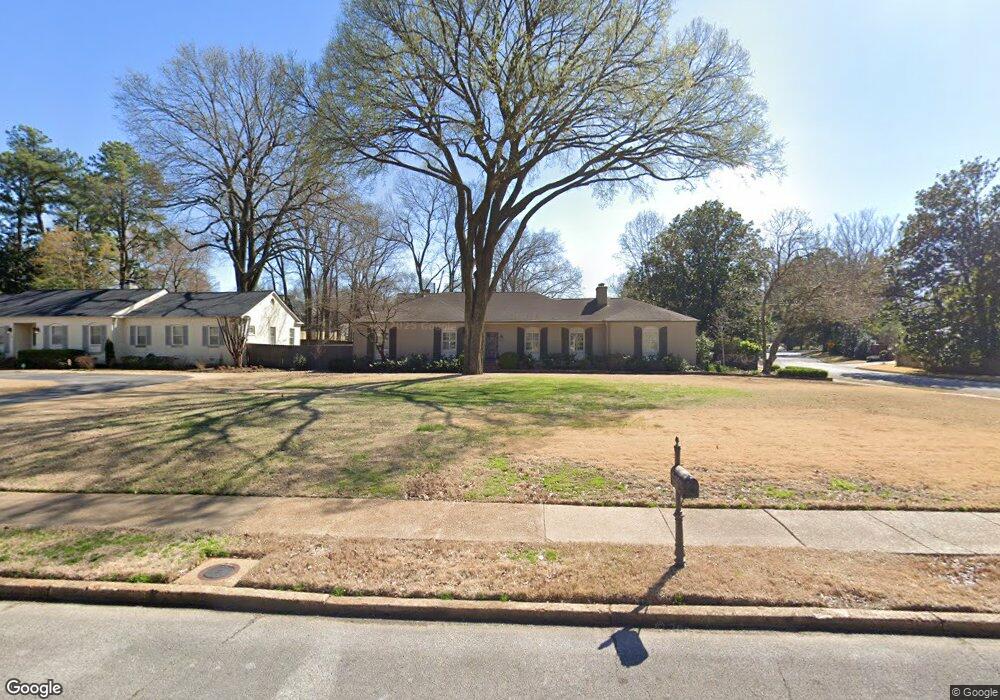
4865 Briarcliff Ave Memphis, TN 38117
Audubon Park NeighborhoodEstimated Value: $572,549 - $676,000
3
Beds
3
Baths
3,237
Sq Ft
$192/Sq Ft
Est. Value
About This Home
This home is located at 4865 Briarcliff Ave, Memphis, TN 38117 and is currently estimated at $620,887, approximately $191 per square foot. 4865 Briarcliff Ave is a home located in Shelby County with nearby schools including White Station Elementary School, White Station High, and White Station Middle.
Ownership History
Date
Name
Owned For
Owner Type
Purchase Details
Closed on
Jun 13, 2005
Sold by
Hamm Carol and Buchignani Mary
Bought by
Henderson Michael W and Henderson Charlotte A
Current Estimated Value
Home Financials for this Owner
Home Financials are based on the most recent Mortgage that was taken out on this home.
Original Mortgage
$300,000
Outstanding Balance
$154,698
Interest Rate
5.57%
Mortgage Type
Fannie Mae Freddie Mac
Estimated Equity
$466,189
Create a Home Valuation Report for This Property
The Home Valuation Report is an in-depth analysis detailing your home's value as well as a comparison with similar homes in the area
Home Values in the Area
Average Home Value in this Area
Purchase History
| Date | Buyer | Sale Price | Title Company |
|---|---|---|---|
| Henderson Michael W | $375,000 | -- |
Source: Public Records
Mortgage History
| Date | Status | Borrower | Loan Amount |
|---|---|---|---|
| Open | Henderson Michael W | $300,000 |
Source: Public Records
Tax History Compared to Growth
Tax History
| Year | Tax Paid | Tax Assessment Tax Assessment Total Assessment is a certain percentage of the fair market value that is determined by local assessors to be the total taxable value of land and additions on the property. | Land | Improvement |
|---|---|---|---|---|
| 2025 | $3,703 | $146,600 | $54,625 | $91,975 |
| 2024 | $3,703 | $109,225 | $39,925 | $69,300 |
| 2023 | $6,654 | $109,225 | $39,925 | $69,300 |
| 2022 | $6,654 | $109,225 | $39,925 | $69,300 |
| 2021 | $6,732 | $109,225 | $39,925 | $69,300 |
| 2020 | $7,054 | $97,350 | $39,925 | $57,425 |
| 2019 | $7,054 | $97,350 | $39,925 | $57,425 |
| 2018 | $7,054 | $97,350 | $39,925 | $57,425 |
| 2017 | $4,001 | $97,350 | $39,925 | $57,425 |
| 2016 | $4,283 | $98,000 | $0 | $0 |
| 2014 | $4,135 | $94,625 | $0 | $0 |
Source: Public Records
Map
Nearby Homes
- 4859 Gwynne Rd
- 4772 Gwynne Rd
- 4975 Brookwood Cove
- 5071 Anchor Cove
- 4679 Walnut Grove Rd
- 5068 Walnut Grove Rd
- 4723 Normandy Ln
- 356 Clove Dr
- 4798 Normandy Ln
- 427 S Perkins Rd Unit 427-2
- 4736 All Spice Dr Unit 71E
- 154 Perkins Extension
- 131 N Mendenhall Rd
- 4654 Hemlock Ln
- 4916 Greenway Ave
- 50 Grove Creek Place
- 4926 Greenway Ave
- 5055 Greenway Rd
- 137 Perkins Extension
- 267 Barry Rd
- 4871 Briarcliff Ave
- 4840 Gwynne Rd
- 4850 Briarcliff Ave
- 4875 Briarcliff Ave
- 143 Colonial Rd
- 4870 Briarcliff Ave
- 4838 Briarcliff Ave
- 4874 Briarcliff Ave
- 4824 Gwynne Rd
- 4828 Briarcliff Ave
- 4885 Briarcliff Ave
- 4882 Gwynne Rd
- 4843 Fleetview Ave
- 4886 Briarcliff Ave
- 4839 Fleetview Ave
- 4818 Briarcliff Ave
- 4851 Fleetview Ave
- 4807 Briarcliff Ave
- 4808 Gwynne Rd