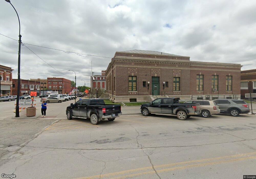
4867 Cr 3525 Independence, KS 67301
Estimated Value: $211,691 - $487,000
4
Beds
2
Baths
2,708
Sq Ft
$115/Sq Ft
Est. Value
About This Home
This home is located at 4867 Cr 3525, Independence, KS 67301 and is currently estimated at $310,897, approximately $114 per square foot. 4867 Cr 3525 is a home located in Montgomery County with nearby schools including Eisenhower Elementary School, Independence Middle School, and Independence Senior High School.
Ownership History
Date
Name
Owned For
Owner Type
Purchase Details
Closed on
Dec 16, 2020
Bought by
Stirewalt Jody and Stirewalt Angela
Current Estimated Value
Create a Home Valuation Report for This Property
The Home Valuation Report is an in-depth analysis detailing your home's value as well as a comparison with similar homes in the area
Home Values in the Area
Average Home Value in this Area
Purchase History
| Date | Buyer | Sale Price | Title Company |
|---|---|---|---|
| Stirewalt Jody | $30,000 | -- |
Source: Public Records
Tax History Compared to Growth
Tax History
| Year | Tax Paid | Tax Assessment Tax Assessment Total Assessment is a certain percentage of the fair market value that is determined by local assessors to be the total taxable value of land and additions on the property. | Land | Improvement |
|---|---|---|---|---|
| 2025 | $20 | $16,983 | $4,249 | $12,734 |
| 2024 | $20 | $16,259 | $4,246 | $12,013 |
| 2023 | $1,914 | $15,248 | $2,945 | $12,303 |
| 2022 | $1,914 | $13,702 | $2,827 | $10,875 |
| 2021 | $1,487 | $12,160 | $2,844 | $9,316 |
| 2020 | $1,487 | $13,718 | $3,862 | $9,856 |
| 2019 | $2,323 | $15,673 | $2,760 | $12,913 |
| 2018 | $2,659 | $18,047 | $3,271 | $14,776 |
| 2017 | $3,174 | $22,002 | $3,283 | $18,719 |
| 2016 | $3,825 | $26,339 | $6,901 | $19,438 |
| 2015 | -- | $24,978 | $5,589 | $19,389 |
| 2014 | -- | $23,909 | $4,875 | $19,034 |
Source: Public Records
Map
Nearby Homes
- 0000 5000 Rd
- 3112 Crown Dr
- 2924 Crown Dr
- 401 Taylor Rd
- 3921 Cr 4825 N A
- 2540 Shady Ln
- 2200 Russell Rd
- 2201 N 10th St
- 3720 County Road 4475 N A
- 1009 W Oak St
- 1020 N 19th Place
- 00000 N 13th St
- 3130 N 13th St
- 937 Circle Dr
- 619 W Oak St
- 1601 N Pennsylvania Ave
- 1328 N 8th St
- 3323 Highway 160
- 3323 Hwy 160
- 1007 N Penn Ave
- 3396 Peter Pan Rd
- 3398 Peter Pan Rd
- 3284 Peter Pan Rd
- 3240 Peter Pan Rd
- 4836 Cr 3525
- 3090 Peter Pan Rd
- 4818 Cr 3525
- 4037 N 3500 St
- 2498 W 5000 St
- 4815 Cr 3525
- 3040 W 5000 St
- 4810 Cr 3525
- 3084 W 5000 St
- 4802 Cr 3525
- 2117 Brost Ln
- 2051 Brost Ln
- 5012 CR 3375
- 4164 N Rosser Rd
- 4011 N Rosser Rd
- 3105 W 5000 St
