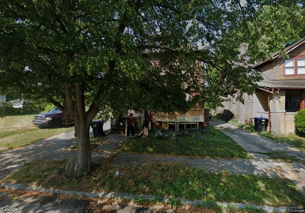
4867 Philip St Unit 4869 Philip Detroit, MI 48215
Fox Creek NeighborhoodEstimated Value: $108,573 - $136,000
6
Beds
2
Baths
2,400
Sq Ft
$49/Sq Ft
Est. Value
About This Home
This home is located at 4867 Philip St Unit 4869 Philip, Detroit, MI 48215 and is currently estimated at $117,393, approximately $48 per square foot. 4867 Philip St Unit 4869 Philip is a home located in Wayne County with nearby schools including Edward 'Duke' Ellington Conservatory of Music and Art, Carstens Academy of Aquatic Science, and Charles L. Spain Elementary-Middle School.
Ownership History
Date
Name
Owned For
Owner Type
Purchase Details
Closed on
Jan 9, 2020
Sold by
The Detroit Land Bank Authority
Bought by
Yakhshi Tafti Ehsan
Current Estimated Value
Purchase Details
Closed on
Jan 13, 2016
Sold by
Wayne County Treasurer
Bought by
Detroit Land Bank Authority
Purchase Details
Closed on
Nov 19, 2012
Sold by
Harbour Portfolio Vii Lp
Bought by
Bc Reo Fund I Llc
Purchase Details
Closed on
Nov 18, 2010
Sold by
Hurt James
Bought by
Federal National Mortgage Association
Create a Home Valuation Report for This Property
The Home Valuation Report is an in-depth analysis detailing your home's value as well as a comparison with similar homes in the area
Home Values in the Area
Average Home Value in this Area
Purchase History
| Date | Buyer | Sale Price | Title Company |
|---|---|---|---|
| Yakhshi Tafti Ehsan | $1,000 | Amrock Inc | |
| Detroit Land Bank Authority | -- | None Available | |
| Bc Reo Fund I Llc | -- | None Available | |
| Federal National Mortgage Association | $68,878 | None Available |
Source: Public Records
Tax History Compared to Growth
Tax History
| Year | Tax Paid | Tax Assessment Tax Assessment Total Assessment is a certain percentage of the fair market value that is determined by local assessors to be the total taxable value of land and additions on the property. | Land | Improvement |
|---|---|---|---|---|
| 2025 | $125 | $21,900 | $0 | $0 |
| 2024 | $125 | $18,600 | $0 | $0 |
| 2023 | $24 | $400 | $0 | $0 |
| 2022 | $28 | $400 | $0 | $0 |
| 2021 | $28 | $400 | $0 | $0 |
| 2020 | $0 | $0 | $0 | $0 |
| 2019 | $0 | $0 | $0 | $0 |
| 2018 | $0 | $0 | $0 | $0 |
| 2017 | $280 | $0 | $0 | $0 |
| 2016 | $340 | $2,800 | $0 | $0 |
| 2015 | $280 | $2,800 | $0 | $0 |
| 2013 | $1,332 | $13,322 | $0 | $0 |
| 2010 | -- | $19,532 | $708 | $18,824 |
Source: Public Records
Map
Nearby Homes
- 14526 Frankfort St
- 5074 Chalmers St
- 4783 Wayburn St
- 4814 Wayburn St
- 5235 Chalmers St
- 5065 Newport St
- 5114 Wayburn St
- 4726 Maryland St
- 5303 Alter Rd
- 5280 Alter Rd
- 4443 Maryland St
- 5075 Eastlawn St
- 4751 Lakepointe St
- 5506 Philip St
- 4706 Lakeview St
- 4374 Newport St
- 5527 Chalmers St
- 5305 Newport St
- 5056 Coplin St
- 5066 Coplin St
- 4867 Philip St
- 4875 Philip St
- 4849 Philip St
- 4885 Philip St
- 4866 Marlborough St
- 4845 Philip St
- 4858 Marlborough St
- 4876 Marlborough St
- 4884 Marlborough St
- 4837 Philip St
- 4870 Philip St
- 4878 Philip St
- 4862 Philip St
- 4844 Marlborough St
- 4854 Philip St
- 4886 Philip St
- 14530 E Warren Ave
- 4844 Philip St
- 4838 Marlborough St
- 4827 Philip St