4867 Wheat Ridge Ct Auburn, MI 48611
Estimated Value: $452,000 - $527,000
5
Beds
3
Baths
2,737
Sq Ft
$181/Sq Ft
Est. Value
About This Home
This home is located at 4867 Wheat Ridge Ct, Auburn, MI 48611 and is currently estimated at $495,062, approximately $180 per square foot. 4867 Wheat Ridge Ct is a home with nearby schools including Auburn Elementary School, Western Middle School, and Bay City Western High School.
Ownership History
Date
Name
Owned For
Owner Type
Purchase Details
Closed on
Oct 3, 2012
Sold by
Fisherville Farms Llc
Bought by
Bridges Toby and Bridges Sheila
Current Estimated Value
Home Financials for this Owner
Home Financials are based on the most recent Mortgage that was taken out on this home.
Original Mortgage
$232,000
Outstanding Balance
$156,665
Interest Rate
2.99%
Mortgage Type
Adjustable Rate Mortgage/ARM
Estimated Equity
$338,397
Create a Home Valuation Report for This Property
The Home Valuation Report is an in-depth analysis detailing your home's value as well as a comparison with similar homes in the area
Home Values in the Area
Average Home Value in this Area
Purchase History
| Date | Buyer | Sale Price | Title Company |
|---|---|---|---|
| Bridges Toby | -- | None Available |
Source: Public Records
Mortgage History
| Date | Status | Borrower | Loan Amount |
|---|---|---|---|
| Open | Bridges Toby | $232,000 |
Source: Public Records
Tax History Compared to Growth
Tax History
| Year | Tax Paid | Tax Assessment Tax Assessment Total Assessment is a certain percentage of the fair market value that is determined by local assessors to be the total taxable value of land and additions on the property. | Land | Improvement |
|---|---|---|---|---|
| 2025 | $6,818 | $224,750 | $0 | $0 |
| 2024 | $3,668 | $214,500 | $0 | $0 |
| 2023 | $3,491 | $196,350 | $0 | $0 |
| 2022 | $6,149 | $179,500 | $0 | $0 |
| 2021 | $5,740 | $166,450 | $166,450 | $0 |
| 2020 | $5,305 | $189,100 | $189,100 | $0 |
| 2019 | $4,994 | $150,000 | $0 | $0 |
| 2018 | $4,826 | $139,950 | $0 | $0 |
| 2017 | $4,750 | $142,050 | $0 | $0 |
| 2016 | $5,207 | $162,800 | $0 | $162,800 |
| 2015 | -- | $162,300 | $0 | $162,300 |
| 2014 | -- | $152,650 | $0 | $152,650 |
Source: Public Records
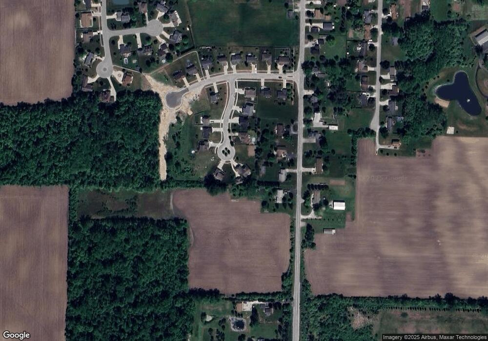
Map
Nearby Homes
- 4855 Wheat Ridge Ct
- 1598 Fisherville Ct
- 1587 Fisherville Ct
- 1598 Dawn Marie Ct
- 4760 Putt Ln
- 1186 W Midland Rd
- 1929 Carter Ridge Ct
- 1114 Eddie Dr
- 1954 W Midland Rd
- 2011 Prairie Point Dr
- V/L N Garfield Rd
- Parcel 175 Joan Dr
- 937 Appaloosa Pass
- 0 W Midland Rd Unit 50189337
- 0 W Midland Rd Unit 50152278
- 0 W North Union Rd Unit 50166876
- 502 W Elm St
- 423 Sunshine Ct
- 461 Elm Ct
- 5501 Garfield Rd
- 4868 Wheat Ridge Ct
- 4888 11 Mile Rd
- 4847 Wheat Ridge Ct
- 4892 11 Mile Rd
- 4854 11 Mile Rd
- 4852 Wheat Ridge Ct
- 4839 Wheat Ridge Ct
- 4844 Wheat Ridge Ct
- 4838 11 Mile Rd
- 4831 Wheat Ridge Ct
- 4838 Wheat Ridge Ct
- 1563 S Fisherville Ct
- 4865 11 Mile Rd
- 1547 Fisherville Ct
- 1527 Fisherville Ct
- 1519 Fisherville Ct
- 1511 Fisherville Ct
- 4845 11 Mile Rd
- 4845 Eleven Mile
- 4835 S Eleven Mile Rd