4869 E 531 N Roanoke, IN 46783
Estimated Value: $337,000 - $503,639
4
Beds
3
Baths
2,137
Sq Ft
$196/Sq Ft
Est. Value
About This Home
This home is located at 4869 E 531 N, Roanoke, IN 46783 and is currently estimated at $418,410, approximately $195 per square foot. 4869 E 531 N is a home located in Huntington County with nearby schools including Roanoke Elementary School, Crestview Middle School, and Huntington North High School.
Create a Home Valuation Report for This Property
The Home Valuation Report is an in-depth analysis detailing your home's value as well as a comparison with similar homes in the area
Tax History
| Year | Tax Paid | Tax Assessment Tax Assessment Total Assessment is a certain percentage of the fair market value that is determined by local assessors to be the total taxable value of land and additions on the property. | Land | Improvement |
|---|---|---|---|---|
| 2024 | $3,130 | $382,300 | $57,700 | $324,600 |
| 2023 | $3,186 | $364,000 | $57,700 | $306,300 |
| 2022 | $3,067 | $355,700 | $57,700 | $298,000 |
| 2021 | $2,736 | $293,300 | $57,700 | $235,600 |
| 2020 | $2,717 | $282,700 | $57,700 | $225,000 |
| 2019 | $2,393 | $274,000 | $57,700 | $216,300 |
| 2018 | $2,291 | $256,300 | $47,000 | $209,300 |
| 2017 | $2,026 | $252,800 | $47,000 | $205,800 |
| 2016 | $1,796 | $250,600 | $47,000 | $203,600 |
| 2014 | $1,821 | $247,400 | $47,000 | $200,400 |
| 2013 | $1,821 | $244,400 | $47,000 | $197,400 |
Source: Public Records
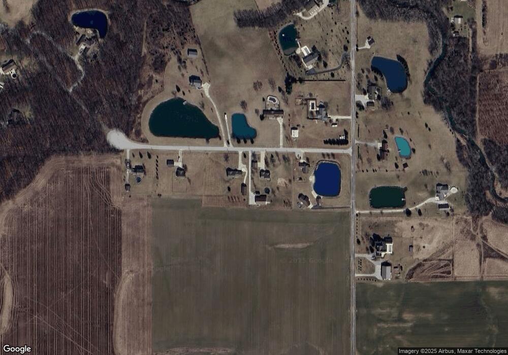
Map
Nearby Homes
- 5156 N Mayne Rd
- 0 Ginger Rd
- 2975 E 630 N
- 4565 E Station Rd
- 451 Rockwell Ave
- 686 Puttman Place
- 621 Nancyk Crossing
- 602 Nancyk Crossing
- 14277 Aboite Rd
- TBD W Yoder Rd
- 416 Nordyk Dr
- 13011 Hamilton Rd
- 11802 NW Smuts Dr
- 183 W Vine St
- 17503 Wayne St
- TBD Feighner Rd
- 775 N Seminary St
- tbd Kilsoquah
- 798 N 500 E
- TBD E 100 N
Your Personal Tour Guide
Ask me questions while you tour the home.