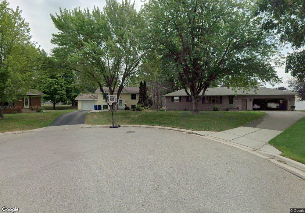
487 10th St N Sauk Rapids, MN 56379
Estimated Value: $211,000 - $233,000
4
Beds
2
Baths
768
Sq Ft
$286/Sq Ft
Est. Value
About This Home
This home is located at 487 10th St N, Sauk Rapids, MN 56379 and is currently estimated at $219,301, approximately $285 per square foot. 487 10th St N is a home located in Benton County with nearby schools including Pleasant View Elementary School, Sauk Rapids-Rice Middle School, and Sauk Rapids-Rice Senior High School.
Ownership History
Date
Name
Owned For
Owner Type
Purchase Details
Closed on
Dec 21, 2018
Sold by
Guzek Thomas K and Guzek Lisa M
Bought by
Stone Anders and Stone Holly
Current Estimated Value
Home Financials for this Owner
Home Financials are based on the most recent Mortgage that was taken out on this home.
Original Mortgage
$151,047
Outstanding Balance
$133,341
Interest Rate
4.9%
Mortgage Type
FHA
Estimated Equity
$85,960
Create a Home Valuation Report for This Property
The Home Valuation Report is an in-depth analysis detailing your home's value as well as a comparison with similar homes in the area
Home Values in the Area
Average Home Value in this Area
Purchase History
| Date | Buyer | Sale Price | Title Company |
|---|---|---|---|
| Stone Anders | $154,200 | First American Title Insuran |
Source: Public Records
Mortgage History
| Date | Status | Borrower | Loan Amount |
|---|---|---|---|
| Open | Stone Anders | $151,047 |
Source: Public Records
Tax History
| Year | Tax Paid | Tax Assessment Tax Assessment Total Assessment is a certain percentage of the fair market value that is determined by local assessors to be the total taxable value of land and additions on the property. | Land | Improvement |
|---|---|---|---|---|
| 2025 | $2,120 | $198,300 | $32,800 | $165,500 |
| 2024 | $2,138 | $190,100 | $32,800 | $157,300 |
| 2023 | $2,014 | $192,600 | $32,800 | $159,800 |
| 2022 | $1,878 | $169,300 | $29,800 | $139,500 |
| 2021 | $1,708 | $147,500 | $29,800 | $117,700 |
| 2018 | $2,244 | $97,500 | $22,640 | $74,860 |
| 2017 | $2,244 | $88,900 | $22,052 | $66,848 |
| 2016 | $2,238 | $113,400 | $28,700 | $84,700 |
| 2015 | $2,282 | $79,500 | $21,304 | $58,196 |
| 2014 | -- | $75,200 | $20,913 | $54,287 |
| 2013 | -- | $74,400 | $20,852 | $53,548 |
Source: Public Records
Map
Nearby Homes
- 720 3rd Ave N
- 720 12th St N
- 616 2nd Ave N
- 400 7th Ave N
- 1227 8th Ave N
- 365 13th St N
- 1401 4 1/2 Ave N
- 143 Frontier Ct
- 1043 2nd Ave N
- 709 N Benton Dr
- 113 6th Ave N
- 405 16th St N
- 1703 5th Ave N
- 707 Erickson Ct
- 18th 18th
- 32608 River Vista Ln
- 828 Wollak Way
- 2161 Mill Pond Dr
- 2177 Mill Pond Dr
- 390 18th Street Ct NW
Your Personal Tour Guide
Ask me questions while you tour the home.