Estimated Value: $43,000 - $189,000
Studio
--
Bath
--
Sq Ft
97,574
Sq Ft Lot
About This Home
This home is located at 487 Bryant Rd, Cairo, GA 39828 and is currently estimated at $119,667. 487 Bryant Rd is a home located in Grady County.
Ownership History
Date
Name
Owned For
Owner Type
Purchase Details
Closed on
Sep 8, 2011
Sold by
Munday Ronald E
Bought by
Mercado Tammy M
Current Estimated Value
Purchase Details
Closed on
Jun 22, 2009
Sold by
Munday Ronald E
Bought by
Munday Ronald E
Purchase Details
Closed on
Nov 7, 2003
Sold by
Munday Ronald E and Munday Linda
Bought by
Munday Ronald E
Purchase Details
Closed on
Nov 21, 2000
Sold by
Munday Ronald E
Bought by
Palmer Lucille
Purchase Details
Closed on
Mar 13, 1998
Sold by
Moyer Sidney
Bought by
Munday Ronald E
Purchase Details
Closed on
Mar 24, 1993
Bought by
Moyer Sidney
Create a Home Valuation Report for This Property
The Home Valuation Report is an in-depth analysis detailing your home's value as well as a comparison with similar homes in the area
Purchase History
| Date | Buyer | Sale Price | Title Company |
|---|---|---|---|
| Mercado Tammy M | $7,000 | -- | |
| Munday Ronald E | -- | -- | |
| Munday Ronald E | -- | -- | |
| Palmer Lucille | $17,300 | -- | |
| Munday Ronald E | $20,000 | -- | |
| Moyer Sidney | $9,900 | -- |
Source: Public Records
Tax History
| Year | Tax Paid | Tax Assessment Tax Assessment Total Assessment is a certain percentage of the fair market value that is determined by local assessors to be the total taxable value of land and additions on the property. | Land | Improvement |
|---|---|---|---|---|
| 2024 | $99 | $4,046 | $4,046 | $0 |
| 2023 | $161 | $5,238 | $4,038 | $1,200 |
| 2022 | $161 | $5,238 | $4,038 | $1,200 |
| 2021 | $162 | $5,238 | $4,038 | $1,200 |
| 2020 | $162 | $5,238 | $4,038 | $1,200 |
| 2019 | $162 | $5,238 | $4,038 | $1,200 |
| 2018 | $152 | $5,238 | $4,038 | $1,200 |
| 2017 | $145 | $5,238 | $4,038 | $1,200 |
| 2016 | $146 | $5,238 | $4,038 | $1,200 |
| 2015 | $144 | $5,238 | $4,038 | $1,200 |
| 2014 | $144 | $5,238 | $4,038 | $1,200 |
| 2013 | -- | $5,232 | $4,032 | $1,200 |
Source: Public Records
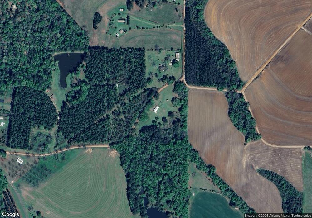
Map
Nearby Homes
- 1400 Pine Hill Rd
- 203 Patterson Ln
- 4761 Hadley Ferry Road (428+ - Acres)
- 198 2nd Ave
- 4258 Lower Hawthorne Trail
- 4103 Hadley Ferry Rd
- 00 Tired Creek Rd
- XXXX Xxxx Fairbanks Ferry
- 404 Beaver Lake Rd
- 14257 Buckhorn Rd
- 48 Blue Bird Ct
- 36 Horseshoe Rd
- 71 Bob White Trail
- 171 Council Ln
- 1718 Old 179 S
- 7667 Tallahassee Hwy
- 0 Fla-Ga Hwy Unit 355337
- 0 Hiamonee Dr
- 2ACR Lewis Rd
- 3695 Tired Creek Rd
- 477 Bryant Rd
- 534 Bryant Rd
- 100 Keene Rd
- 464 Bryant Rd
- 406 Bryant Rd
- 372 Bryant Rd
- 1165 Pine Hill Rd
- 0 Keene Rd
- 578 Bryant Rd
- 288 Keene Rd
- 1245 Pine Hill Rd
- 279 Keene Rd
- 00 Keene Rd
- 1278 Pine Hill Rd
- 2404 Lower Hawthorne Trail
- 0 Pine Hill Rd Unit 295212
- 0 Pine Hill Rd Unit 295211
- 0 Pine Hill Rd Unit 295165
- 845 Pine Hill Rd
Your Personal Tour Guide
Ask me questions while you tour the home.