487 Commons Dr Powell, OH 43065
Estimated Value: $407,000 - $439,207
2
Beds
2
Baths
1,720
Sq Ft
$246/Sq Ft
Est. Value
About This Home
This home is located at 487 Commons Dr, Powell, OH 43065 and is currently estimated at $422,802, approximately $245 per square foot. 487 Commons Dr is a home located in Delaware County with nearby schools including Tyler Run Elementary School, Olentangy Liberty Middle School, and Olentangy Liberty High School.
Ownership History
Date
Name
Owned For
Owner Type
Purchase Details
Closed on
Apr 12, 2017
Sold by
Polston Keith and Polston Dorothy R
Bought by
Ricker Robin L
Current Estimated Value
Home Financials for this Owner
Home Financials are based on the most recent Mortgage that was taken out on this home.
Original Mortgage
$192,000
Outstanding Balance
$160,165
Interest Rate
4.3%
Mortgage Type
New Conventional
Estimated Equity
$262,637
Purchase Details
Closed on
Dec 26, 2016
Sold by
Hood Earl
Bought by
Polston Dorothy R
Purchase Details
Closed on
Oct 1, 2004
Sold by
The Commons Of Powell Llc
Bought by
Hood Earl and Hood Gayle L
Home Financials for this Owner
Home Financials are based on the most recent Mortgage that was taken out on this home.
Original Mortgage
$194,655
Interest Rate
5.25%
Mortgage Type
Purchase Money Mortgage
Create a Home Valuation Report for This Property
The Home Valuation Report is an in-depth analysis detailing your home's value as well as a comparison with similar homes in the area
Home Values in the Area
Average Home Value in this Area
Purchase History
| Date | Buyer | Sale Price | Title Company |
|---|---|---|---|
| Ricker Robin L | $240,000 | None Available | |
| Polston Dorothy R | -- | None Available | |
| Hood Earl | -- | Cornerstone Title Agency Llc |
Source: Public Records
Mortgage History
| Date | Status | Borrower | Loan Amount |
|---|---|---|---|
| Open | Ricker Robin L | $192,000 | |
| Previous Owner | Hood Earl | $194,655 |
Source: Public Records
Tax History
| Year | Tax Paid | Tax Assessment Tax Assessment Total Assessment is a certain percentage of the fair market value that is determined by local assessors to be the total taxable value of land and additions on the property. | Land | Improvement |
|---|---|---|---|---|
| 2024 | $5,671 | $118,030 | $24,680 | $93,350 |
| 2023 | $5,726 | $118,030 | $24,680 | $93,350 |
| 2022 | $5,408 | $81,520 | $17,500 | $64,020 |
| 2021 | $5,501 | $81,520 | $17,500 | $64,020 |
| 2020 | $5,521 | $81,520 | $17,500 | $64,020 |
| 2019 | $4,715 | $72,210 | $17,500 | $54,710 |
| 2018 | $4,770 | $72,210 | $17,500 | $54,710 |
| 2017 | $4,382 | $68,250 | $12,250 | $56,000 |
| 2016 | $4,217 | $68,250 | $12,250 | $56,000 |
| 2015 | $3,837 | $68,250 | $12,250 | $56,000 |
| 2014 | $3,888 | $68,250 | $12,250 | $56,000 |
| 2013 | $3,980 | $68,250 | $12,250 | $56,000 |
Source: Public Records
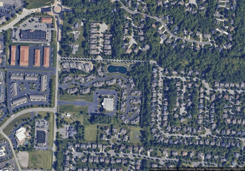
Map
Nearby Homes
- 471 Commons Dr Unit 471
- 10341 Sawmill Rd
- 10339 Sawmill Rd
- 371 Vinwood Ln
- 3954 Delwood Dr
- 184 Stamford Dr
- 4933 Emerald Lakes Blvd Unit 4903
- 10417 Cambridge Place
- 3326 Brentwood Ct
- 257 Wagon Trail S
- 466 Charles Spring Dr Unit 466
- 4552 N Hampton Dr
- 97 Murphys Crossing Dr
- 293 Murphy's Green
- 10010 Beckford Ct
- 3910 Summit View Rd
- 9978 Lavenham Cir W
- 10542 Wellington Blvd
- 1937 Liberty St
- 11 Murphys View Place
- 483 Commons Dr Unit 483
- 491 Commons Dr Unit 491
- 495 Commons Dr Unit 495
- 486 Commons Dr Unit 486
- 482 Commons Dr Unit 482
- 499 Commons Dr
- 479 Commons Dr Unit 479
- 478 Commons Dr Unit 478
- 474 Commons Dr Unit 474
- 475 Commons Dr Unit 475
- 470 Commons Dr Unit 470
- 509 Commons Dr Unit 509
- 466 Commons Dr Unit 466
- 519 Commons Dr Unit 519
- 462 Commons Dr Unit 462
- 458 Commons Dr Unit 458
- 544 Commons Dr Unit 544
- 504 Commons Dr Unit 504
- 543 Zion Dr
- 533 Zion Dr
Your Personal Tour Guide
Ask me questions while you tour the home.