487 Forest Ln Crested Butte, CO 81224
Estimated Value: $3,933,000 - $4,811,000
5
Beds
8
Baths
3,006
Sq Ft
$1,478/Sq Ft
Est. Value
About This Home
This home is located at 487 Forest Ln, Crested Butte, CO 81224 and is currently estimated at $4,443,384, approximately $1,478 per square foot. 487 Forest Ln is a home located in Gunnison County with nearby schools including Gunnison Elementary School, Crested Butte Community School, and Gunnison Middle School.
Ownership History
Date
Name
Owned For
Owner Type
Purchase Details
Closed on
Sep 6, 2001
Sold by
Western Mountain Properties Of
Bought by
Williams Edith Ann Broyles Trust No Two
Current Estimated Value
Purchase Details
Closed on
Mar 13, 2001
Sold by
Tyler Richard M
Bought by
Western Mountain Properties Of
Purchase Details
Closed on
Jun 6, 1995
Purchase Details
Closed on
Sep 30, 1991
Create a Home Valuation Report for This Property
The Home Valuation Report is an in-depth analysis detailing your home's value as well as a comparison with similar homes in the area
Home Values in the Area
Average Home Value in this Area
Purchase History
| Date | Buyer | Sale Price | Title Company |
|---|---|---|---|
| Williams Edith Ann Broyles Trust No Two | $525,000 | -- | |
| Western Mountain Properties Of | -- | -- | |
| -- | $215,500 | -- | |
| -- | $161,000 | -- |
Source: Public Records
Tax History Compared to Growth
Tax History
| Year | Tax Paid | Tax Assessment Tax Assessment Total Assessment is a certain percentage of the fair market value that is determined by local assessors to be the total taxable value of land and additions on the property. | Land | Improvement |
|---|---|---|---|---|
| 2024 | $20,172 | $265,420 | $32,710 | $232,710 |
| 2023 | $19,973 | $261,740 | $32,260 | $229,480 |
| 2022 | $17,395 | $194,830 | $24,190 | $170,640 |
| 2021 | $16,012 | $200,430 | $24,880 | $175,550 |
| 2020 | $12,445 | $147,840 | $24,880 | $122,960 |
| 2019 | $12,273 | $147,840 | $24,880 | $122,960 |
| 2018 | $11,409 | $126,830 | $17,500 | $109,330 |
| 2017 | $11,484 | $126,830 | $17,500 | $109,330 |
| 2016 | $11,426 | $131,430 | $17,700 | $113,730 |
| 2015 | -- | $131,430 | $17,700 | $113,730 |
| 2014 | -- | $114,860 | $18,020 | $96,840 |
Source: Public Records
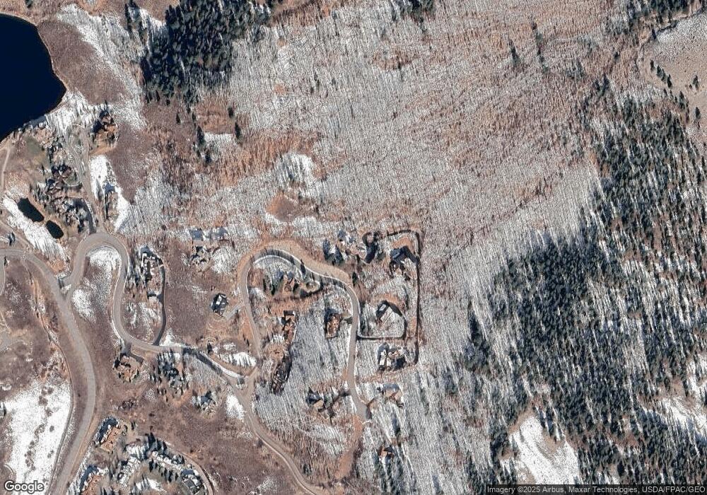
Map
Nearby Homes
- 412 Ridge Rd
- 350 Country Club Dr Unit 217A
- 350 Country Club Dr Unit 218A
- 350 Country Club Dr Unit 402A
- 315 Par Ln
- 1665 Skyland Dr
- 434 Country Club Dr
- 0 Tbd Saddle Ridge Rd
- 618 Country Club Dr
- 262 Larkspur Loop
- 402 Eagle Ln
- 365 Larkspur Loop
- 168 W Silver Sage Dr
- 44 County Road 738a Brush Creek Rd
- 115 Larkspur Loop
- 491 Slate River Dr
- 77 S Avion Dr
- 166 & 168 Coyote Cir
- 253 W Silver Sage Dr
- 136 N Avion Dr
- 561 Forest Ln
- 356 Forest Ln
- 532 Forest Ln
- 750 Forest Service Road 826.D1
- 613 Forest Ln
- 0 Forest Ln Unit 769694
- 0 Forest Ln Unit 759820
- 0 Forest Ln Unit 745350
- 0 Forest Ln Unit 741379
- 0 Forest Ln Unit 735969
- 0 Forest Ln Unit 3048
- 0 Forest Ln Unit 3510
- 0 Forest Ln Unit S27 Lane 5054
- 0 Forest Ln Unit 726431
- 0 Forest Ln Unit 733987
- 0 Forest Ln Unit 731624
- 0 Forest Ln Unit 798 Forest Lane 8960
- 0 Forest Ln Unit 9167
- 0 Forest Ln Unit 9735
- 0 Forest Ln Unit 9890