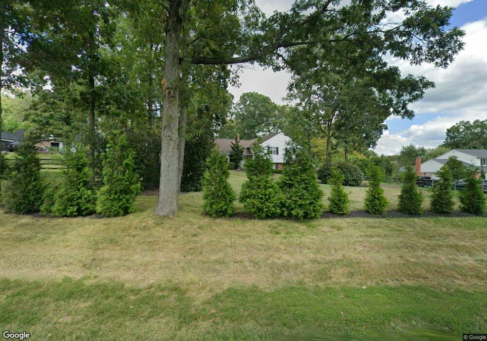
487 Godshall Rd Souderton, PA 18964
Estimated Value: $565,000 - $697,000
3
Beds
3
Baths
2,285
Sq Ft
$272/Sq Ft
Est. Value
About This Home
This home is located at 487 Godshall Rd, Souderton, PA 18964 and is currently estimated at $622,080, approximately $272 per square foot. 487 Godshall Rd is a home located in Montgomery County with nearby schools including Franconia Elementary School, Indian Crest Middle School, and Souderton Area Senior High School.
Ownership History
Date
Name
Owned For
Owner Type
Purchase Details
Closed on
Apr 3, 2009
Sold by
Walter Jennifer L and Brewster Jennifer L
Bought by
Brown Timothy J and Brown Lauren C
Current Estimated Value
Home Financials for this Owner
Home Financials are based on the most recent Mortgage that was taken out on this home.
Original Mortgage
$285,200
Outstanding Balance
$179,516
Interest Rate
4.86%
Estimated Equity
$442,564
Purchase Details
Closed on
Aug 25, 2006
Sold by
Renner Thomas A and Renner Lynn A
Bought by
Walter Jennifer L
Home Financials for this Owner
Home Financials are based on the most recent Mortgage that was taken out on this home.
Original Mortgage
$319,900
Interest Rate
6.79%
Create a Home Valuation Report for This Property
The Home Valuation Report is an in-depth analysis detailing your home's value as well as a comparison with similar homes in the area
Home Values in the Area
Average Home Value in this Area
Purchase History
| Date | Buyer | Sale Price | Title Company |
|---|---|---|---|
| Brown Timothy J | $310,000 | None Available | |
| Walter Jennifer L | $399,900 | None Available |
Source: Public Records
Mortgage History
| Date | Status | Borrower | Loan Amount |
|---|---|---|---|
| Open | Brown Timothy J | $285,200 | |
| Previous Owner | Walter Jennifer L | $319,900 |
Source: Public Records
Tax History Compared to Growth
Tax History
| Year | Tax Paid | Tax Assessment Tax Assessment Total Assessment is a certain percentage of the fair market value that is determined by local assessors to be the total taxable value of land and additions on the property. | Land | Improvement |
|---|---|---|---|---|
| 2025 | $7,698 | $191,680 | -- | -- |
| 2024 | $7,698 | $191,680 | -- | -- |
| 2023 | $7,345 | $191,680 | $0 | $0 |
| 2022 | $7,121 | $191,680 | $0 | $0 |
| 2021 | $6,972 | $191,680 | $0 | $0 |
| 2020 | $6,877 | $191,680 | $0 | $0 |
| 2019 | $6,277 | $191,680 | $0 | $0 |
| 2018 | $6,795 | $191,680 | $0 | $0 |
| 2017 | $6,624 | $191,680 | $0 | $0 |
| 2016 | $6,549 | $191,680 | $0 | $0 |
| 2015 | $6,371 | $191,680 | $0 | $0 |
| 2014 | $6,371 | $191,680 | $0 | $0 |
Source: Public Records
Map
Nearby Homes
- 314 Harleysville Pike
- 478 Smokepipe Rd
- 270 Telford Pike
- 3443 Devlin Way
- 317 Pleasant Valley Dr
- 654 Allentown Rd
- 157 Erie Ave
- 155 Harleysville Pike
- 0000 Halteman Rd
- 218 Parkview Dr
- 211 Grove Ct
- 260 Diamond St
- 365 Wile Ave
- 141 Farrington Ln
- 624 Keller Creamery Rd
- 5 Ryan Ct
- 100 Anjou Ct
- 110 Trevor Square
- 20 Ryan Ct
- 321 W Hamlin Ave