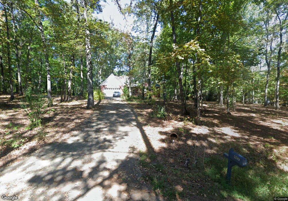
487 McCartan Trail Unit 15 Clarkesville, GA 30523
Estimated Value: $485,000 - $734,000
4
Beds
3
Baths
3,804
Sq Ft
$147/Sq Ft
Est. Value
About This Home
This home is located at 487 McCartan Trail Unit 15, Clarkesville, GA 30523 and is currently estimated at $560,883, approximately $147 per square foot. 487 McCartan Trail Unit 15 is a home located in Habersham County with nearby schools including Clarkesville Elementary School, North Habersham Middle School, and Habersham Success Academy.
Ownership History
Date
Name
Owned For
Owner Type
Purchase Details
Closed on
Aug 5, 2019
Sold by
Simms John E
Bought by
Beavers Ellen C
Current Estimated Value
Home Financials for this Owner
Home Financials are based on the most recent Mortgage that was taken out on this home.
Original Mortgage
$152,000
Outstanding Balance
$133,124
Interest Rate
3.7%
Mortgage Type
New Conventional
Estimated Equity
$427,759
Create a Home Valuation Report for This Property
The Home Valuation Report is an in-depth analysis detailing your home's value as well as a comparison with similar homes in the area
Home Values in the Area
Average Home Value in this Area
Purchase History
| Date | Buyer | Sale Price | Title Company |
|---|---|---|---|
| Beavers Ellen C | $252,000 | -- |
Source: Public Records
Mortgage History
| Date | Status | Borrower | Loan Amount |
|---|---|---|---|
| Open | Beavers Ellen C | $152,000 |
Source: Public Records
Tax History Compared to Growth
Tax History
| Year | Tax Paid | Tax Assessment Tax Assessment Total Assessment is a certain percentage of the fair market value that is determined by local assessors to be the total taxable value of land and additions on the property. | Land | Improvement |
|---|---|---|---|---|
| 2025 | $1,296 | $186,889 | $24,291 | $162,598 |
| 2024 | -- | $180,200 | $18,736 | $161,464 |
| 2023 | $1,122 | $152,160 | $18,736 | $133,424 |
| 2022 | $1,307 | $126,876 | $12,492 | $114,384 |
| 2021 | $1,217 | $113,940 | $12,492 | $101,448 |
| 2020 | $2,680 | $99,636 | $12,492 | $87,144 |
| 2019 | $1,039 | $95,456 | $12,492 | $82,964 |
| 2018 | $2,349 | $93,896 | $10,932 | $82,964 |
| 2017 | $2,250 | $86,312 | $10,932 | $75,380 |
| 2016 | $2,158 | $211,870 | $9,368 | $75,380 |
| 2015 | $2,132 | $211,870 | $9,368 | $75,380 |
| 2014 | $2,113 | $206,240 | $9,368 | $73,128 |
| 2013 | -- | $84,060 | $10,932 | $73,128 |
Source: Public Records
Map
Nearby Homes
- 323 McCartan Trail
- 145 Goldust Ave
- 182 Hardman Rd
- 274 Hardman Rd
- 220 Hardman Rd
- 1096 Sutton Mill Rd
- 264 River Fields Dr
- 132 James Rd
- 182 Farm Hill Dr
- 431 Grindstone Creek Dr
- 399 Grindstone Creek Dr
- 0 Old Clarkesville Mill Rd Unit (LOT 13)
- 0 Old Clarkesville Mill Rd Unit (LOT 11)
- 0 Old Clarkesville Mill Rd Unit (LOT 12)
- 281 Grindstone Creek Dr
- 0 TRACT 1 Annandale Dr
- 0 TRACT 3 Annandale Dr
- 0 TRACT 2 Annandale Dr
- 0 TRACT 4 Annandale Dr
- 297 Old Clarkesville Mill Rd
- 487 McCartan Trail
- 439 McCartan Trail
- 491 McCartan Trail
- 00 McCartan Trail
- 492 McCartan Trail
- 480 McCartan Trail
- 458 McCartan Trail
- 427 McCartan Trail
- 571 McCartan Trail Unit 17
- 571 McCartan Trail
- 420 McCartan Trail
- 611 McCartan Trail
- 355 McCartan Trail
- 514 McCartan Trail
- 1420 Old Hardman Btms Rd
- 360 McCartan Trail
- 323 McCartan Trail Unit 11
- 580 McCartan Trail
- 315 Miner Point
- 1400 Old Hardman Btms Rd