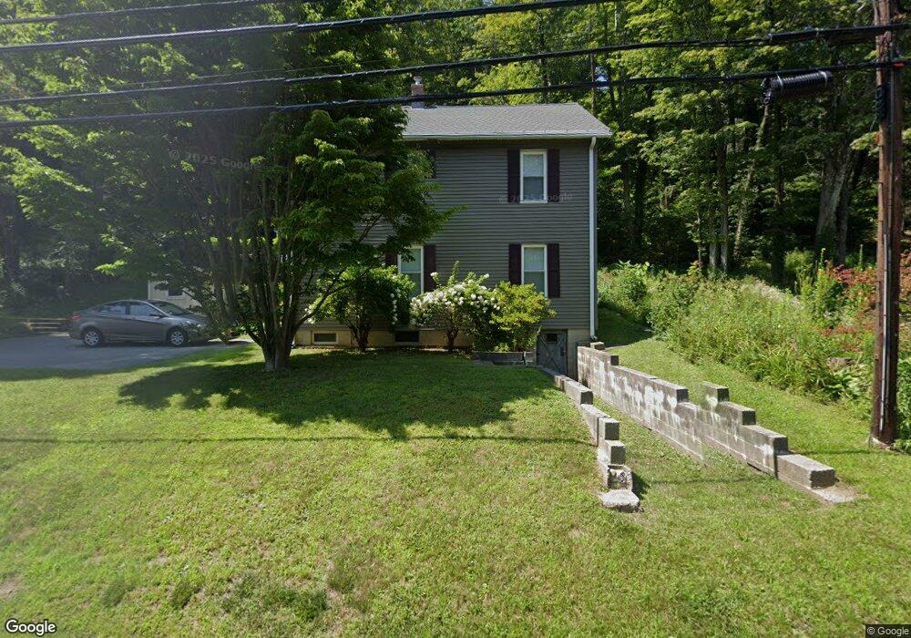
487 N Main St Winsted, CT 06098
Estimated Value: $178,000 - $325,000
1
Bed
1
Bath
1,074
Sq Ft
$210/Sq Ft
Est. Value
About This Home
This home is located at 487 N Main St, Winsted, CT 06098 and is currently estimated at $225,276, approximately $209 per square foot. 487 N Main St is a home located in Litchfield County with nearby schools including Explorations Charter School, St Anthony School, and The Gilbert School.
Ownership History
Date
Name
Owned For
Owner Type
Purchase Details
Closed on
Nov 6, 1991
Sold by
Brickett Edward L and Brickett Mae E
Bought by
Fulup Joseph
Current Estimated Value
Home Financials for this Owner
Home Financials are based on the most recent Mortgage that was taken out on this home.
Original Mortgage
$40,500
Interest Rate
8.85%
Mortgage Type
Purchase Money Mortgage
Create a Home Valuation Report for This Property
The Home Valuation Report is an in-depth analysis detailing your home's value as well as a comparison with similar homes in the area
Home Values in the Area
Average Home Value in this Area
Purchase History
| Date | Buyer | Sale Price | Title Company |
|---|---|---|---|
| Fulup Joseph | $45,000 | -- |
Source: Public Records
Mortgage History
| Date | Status | Borrower | Loan Amount |
|---|---|---|---|
| Closed | Fulup Joseph | $82,000 | |
| Closed | Fulup Joseph | $42,750 | |
| Closed | Fulup Joseph | $40,500 |
Source: Public Records
Tax History Compared to Growth
Tax History
| Year | Tax Paid | Tax Assessment Tax Assessment Total Assessment is a certain percentage of the fair market value that is determined by local assessors to be the total taxable value of land and additions on the property. | Land | Improvement |
|---|---|---|---|---|
| 2025 | $2,287 | $78,400 | $28,980 | $49,420 |
| 2024 | $2,136 | $78,400 | $28,980 | $49,420 |
| 2023 | $2,069 | $78,400 | $28,980 | $49,420 |
| 2022 | $2,327 | $69,370 | $21,070 | $48,300 |
| 2021 | $2,327 | $69,370 | $21,070 | $48,300 |
| 2020 | $2,327 | $69,370 | $21,070 | $48,300 |
| 2019 | $2,327 | $69,370 | $21,070 | $48,300 |
| 2018 | $2,327 | $69,370 | $21,070 | $48,300 |
| 2017 | $2,221 | $66,220 | $21,070 | $45,150 |
| 2016 | $2,221 | $66,220 | $21,070 | $45,150 |
| 2015 | $2,165 | $66,220 | $21,070 | $45,150 |
| 2014 | $2,113 | $66,220 | $21,070 | $45,150 |
Source: Public Records
Map
Nearby Homes
- 503 N Main St
- 111 Riverton Rd Unit 61
- 111 Riverton Rd Unit 90
- 52 White St
- 00 Ramsgate Ln
- 2 Ramsgate Ln
- 208 Spencer Hill Rd
- 38 Riveredge Dr Unit 38
- 197 Spencer Hill Rd
- 45 Riveredge Dr Unit 45
- 115 Old Robertsville Rd
- 10 Crescent St
- 151 Losaw Rd
- 0 Old Robertsville Rd
- 55 Walnut St
- 157 Elm St
- 49 Walnut St
- 14 Curtice St
- 38 Upland Rd
- 8 Oak St
- 489 N Main St
- 491 N Main St
- 493 N Main St
- 832 N Main St
- 106 Ledge Dr
- 104 Ledge Dr
- 103 Ledge Dr
- 102 Ledge Dr
- 103 Colebrook River Rd
- 103 Riverton Rd
- 101 Ledge Dr
- 105 Colebrook River Rd
- 114 Smith Hill Rd
- 133 Smith Hill Rd
- 112 Colebrook River Rd
- 118 Old North Rd
- 111 Riverton Rd Unit 33
- 111 Riverton Rd Unit 31
- 111 Riverton Rd Unit 70
- 111 Riverton Rd Unit 30