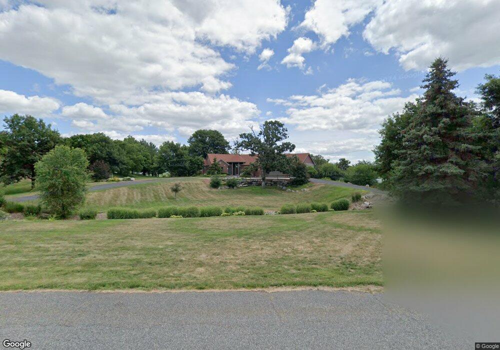
487 Theis Dr Shakopee, MN 55379
Estimated Value: $691,000 - $1,345,000
4
Beds
5
Baths
2,039
Sq Ft
$481/Sq Ft
Est. Value
About This Home
This home is located at 487 Theis Dr, Shakopee, MN 55379 and is currently estimated at $980,320, approximately $480 per square foot. 487 Theis Dr is a home located in Scott County with nearby schools including Sweeney Elementary School, East Middle School, and Shakopee Senior High School.
Ownership History
Date
Name
Owned For
Owner Type
Purchase Details
Closed on
Jun 30, 2015
Sold by
Fischer Richard G and Fischer Susan W
Bought by
Shi Zheng and Song Tao
Current Estimated Value
Home Financials for this Owner
Home Financials are based on the most recent Mortgage that was taken out on this home.
Original Mortgage
$417,000
Outstanding Balance
$325,152
Interest Rate
3.86%
Mortgage Type
New Conventional
Estimated Equity
$655,168
Purchase Details
Closed on
Sep 2, 1998
Sold by
Hennen Leroy J
Bought by
Fischer Richard G and Fischer Susan W
Create a Home Valuation Report for This Property
The Home Valuation Report is an in-depth analysis detailing your home's value as well as a comparison with similar homes in the area
Home Values in the Area
Average Home Value in this Area
Purchase History
| Date | Buyer | Sale Price | Title Company |
|---|---|---|---|
| Shi Zheng | $699,900 | Partners Title Of North Subu | |
| Fischer Richard G | $117,000 | -- |
Source: Public Records
Mortgage History
| Date | Status | Borrower | Loan Amount |
|---|---|---|---|
| Open | Shi Zheng | $417,000 | |
| Closed | Fischer Richard G | -- |
Source: Public Records
Tax History
| Year | Tax Paid | Tax Assessment Tax Assessment Total Assessment is a certain percentage of the fair market value that is determined by local assessors to be the total taxable value of land and additions on the property. | Land | Improvement |
|---|---|---|---|---|
| 2025 | $7,278 | $970,200 | $274,300 | $695,900 |
| 2024 | $7,486 | $852,500 | $242,400 | $610,100 |
| 2023 | $7,378 | $856,200 | $242,600 | $613,600 |
| 2022 | $7,010 | $834,800 | $233,200 | $601,600 |
| 2021 | $6,418 | $685,400 | $169,900 | $515,500 |
| 2020 | $6,036 | $694,200 | $179,500 | $514,700 |
| 2019 | $6,216 | $575,000 | $168,100 | $406,900 |
| 2018 | $6,402 | $0 | $0 | $0 |
| 2016 | $6,854 | $0 | $0 | $0 |
Source: Public Records
Map
Nearby Homes
- 447 Theis Dr
- 630 Tyrol Ln
- 746 Peninsula Point Rd
- 981 Peninsula Point Rd
- XXX 160th St
- 13950 Marystown Rd
- 13781 Pribyl Pond Ln
- 2XX Stonebrooke Curve
- 3XX Stonebrooke Curve
- 13720 Marystown Rd
- 1613 Shasta Dr
- 1679 Shasta Dr
- 1671 Shasta Dr
- 1786 Marsh View Terrace
- 1830 Marsh View Terrace
- 1634 Denali Dr
- 1852 Marsh View Terrace
- 1874 Marsh View Terrace
- XXX Marschall Rd
- 1661 Shasta Dr
Your Personal Tour Guide
Ask me questions while you tour the home.