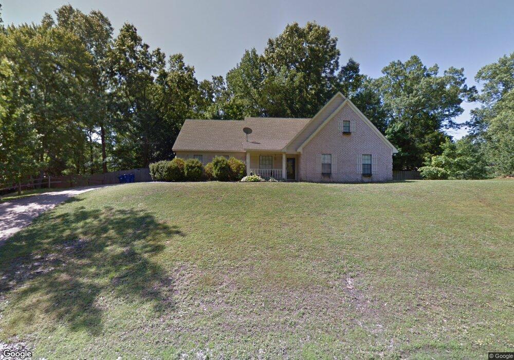
4871 Maple Hill Dr Nesbit, MS 38651
Pleasant Hill NeighborhoodEstimated Value: $321,000 - $365,000
5
Beds
3
Baths
2,800
Sq Ft
$122/Sq Ft
Est. Value
About This Home
This home is located at 4871 Maple Hill Dr, Nesbit, MS 38651 and is currently estimated at $340,393, approximately $121 per square foot. 4871 Maple Hill Dr is a home located in DeSoto County with nearby schools including Lewisburg Primary School, Lewisburg Elementary School, and Lewisburg Middle School.
Ownership History
Date
Name
Owned For
Owner Type
Purchase Details
Closed on
Jun 13, 2016
Sold by
Wells Fargo Bank
Bought by
Parsons David
Current Estimated Value
Home Financials for this Owner
Home Financials are based on the most recent Mortgage that was taken out on this home.
Original Mortgage
$157,500
Outstanding Balance
$124,453
Interest Rate
3.6%
Estimated Equity
$215,940
Purchase Details
Closed on
Jan 19, 2012
Sold by
Parsons Carol
Bought by
Parsons David Randall
Create a Home Valuation Report for This Property
The Home Valuation Report is an in-depth analysis detailing your home's value as well as a comparison with similar homes in the area
Home Values in the Area
Average Home Value in this Area
Purchase History
| Date | Buyer | Sale Price | Title Company |
|---|---|---|---|
| Parsons David | -- | -- | |
| Parsons David Randall | -- | None Available |
Source: Public Records
Mortgage History
| Date | Status | Borrower | Loan Amount |
|---|---|---|---|
| Open | Parsons David | $157,500 | |
| Closed | Parsons David | -- |
Source: Public Records
Tax History
| Year | Tax Paid | Tax Assessment Tax Assessment Total Assessment is a certain percentage of the fair market value that is determined by local assessors to be the total taxable value of land and additions on the property. | Land | Improvement |
|---|---|---|---|---|
| 2025 | $508 | $13,662 | $2,000 | $11,662 |
| 2024 | $616 | $13,662 | $2,000 | $11,662 |
| 2023 | $616 | $13,662 | $0 | $0 |
| 2022 | $616 | $13,662 | $2,000 | $11,662 |
| 2021 | $616 | $13,662 | $2,000 | $11,662 |
| 2020 | $616 | $13,662 | $2,000 | $11,662 |
| 2019 | $616 | $13,662 | $2,000 | $11,662 |
| 2017 | $575 | $24,424 | $13,212 | $11,212 |
| 2016 | $575 | $13,212 | $2,000 | $11,212 |
| 2015 | $1,330 | $24,424 | $13,212 | $11,212 |
| 2014 | $575 | $13,212 | $0 | $0 |
| 2013 | $568 | $13,212 | $0 | $0 |
Source: Public Records
Map
Nearby Homes
- 4600 Huron Rd
- 4497 Star Landing Rd E
- 4441 Big Horn Dr N
- 4292 Starlanding Rd E
- 4609 Big Horn Dr S
- 5290 Watson View Dr
- 2024 Laughter Rd
- 2224 Itasca Dr
- 4490 Big Horn Dr S
- 2216 Watson View E
- 4198 Bienville Rd
- 2160 Taryn Ln
- 4040 Windermere Rd N
- 1960 Bakersfield Dr N
- 2380 Geneva Dr
- 3425 Kreunen St
- 3292 Kreunen St
- 2383 Geneva Dr
- 4020 Maryan Ct
- 4809 Bakersfield Dr
- 4870 Mead Rd
- 4851 Maple Hill Dr
- 4891 Maple Hill Dr
- 4850 Mead Rd
- 4880 Maple Hill Dr
- 4890 Mead Rd
- 4860 Maple Hill Dr
- 4910 Maple Hill Dr
- 4905 Maple Hill Dr
- 4840 Maple Hill Dr
- 4904 Mead Rd
- 4877 Mead Rd
- 2751 Maple Hill Dr
- 2729 Maple Hill Dr
- 4873 Huron Rd
- 4905 Huron Rd
- 2701 Maple Hill Dr
- 426 Maple Hill Dr
- 4847 Huron Rd
- 4817 Huron Rd
Your Personal Tour Guide
Ask me questions while you tour the home.