4872 Auston St Unit 4872 Springfield, OH 45502
Estimated Value: $176,916 - $190,000
2
Beds
2
Baths
1,252
Sq Ft
$145/Sq Ft
Est. Value
About This Home
This home is located at 4872 Auston St Unit 4872, Springfield, OH 45502 and is currently estimated at $181,979, approximately $145 per square foot. 4872 Auston St Unit 4872 is a home located in Clark County with nearby schools including Northridge Elementary School, Kenton Ridge Middle & High School, and Emmanuel Christian Academy.
Ownership History
Date
Name
Owned For
Owner Type
Purchase Details
Closed on
Apr 21, 2015
Sold by
Blevins Harden
Bought by
Fisher Vickie L
Current Estimated Value
Purchase Details
Closed on
Nov 26, 2003
Sold by
Derr Mabel K
Bought by
Blevins Harden
Home Financials for this Owner
Home Financials are based on the most recent Mortgage that was taken out on this home.
Original Mortgage
$67,200
Interest Rate
6.1%
Mortgage Type
Purchase Money Mortgage
Purchase Details
Closed on
Nov 9, 1993
Create a Home Valuation Report for This Property
The Home Valuation Report is an in-depth analysis detailing your home's value as well as a comparison with similar homes in the area
Home Values in the Area
Average Home Value in this Area
Purchase History
| Date | Buyer | Sale Price | Title Company |
|---|---|---|---|
| Fisher Vickie L | $88,100 | Attorney | |
| Blevins Harden | $84,000 | -- | |
| -- | $62,600 | -- |
Source: Public Records
Mortgage History
| Date | Status | Borrower | Loan Amount |
|---|---|---|---|
| Previous Owner | Blevins Harden | $67,200 | |
| Closed | Blevins Harden | $11,000 |
Source: Public Records
Tax History
| Year | Tax Paid | Tax Assessment Tax Assessment Total Assessment is a certain percentage of the fair market value that is determined by local assessors to be the total taxable value of land and additions on the property. | Land | Improvement |
|---|---|---|---|---|
| 2025 | $967 | $51,090 | $7,050 | $44,040 |
| 2024 | -- | $31,920 | $6,130 | $25,790 |
| 2023 | $962 | $31,920 | $6,130 | $25,790 |
| 2022 | $0 | $31,920 | $6,130 | $25,790 |
| 2021 | $1,584 | $31,580 | $4,380 | $27,200 |
| 2020 | $1,586 | $31,580 | $4,380 | $27,200 |
| 2019 | $1,616 | $31,580 | $4,380 | $27,200 |
| 2018 | $1,438 | $27,000 | $4,990 | $22,010 |
| 2017 | $1,233 | $26,062 | $4,988 | $21,074 |
| 2016 | $337 | $26,062 | $4,988 | $21,074 |
| 2015 | $402 | $26,324 | $5,250 | $21,074 |
| 2014 | $402 | $26,324 | $5,250 | $21,074 |
| 2013 | $784 | $26,324 | $5,250 | $21,074 |
Source: Public Records
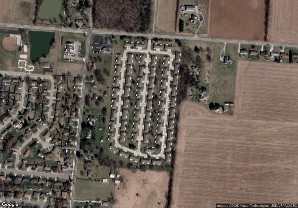
Map
Nearby Homes
- 4890 Brannan Dr W Unit 4890
- 4732 Lehigh Dr
- 4652 Reno Ln Unit 15
- 4577 Reno Ln Unit 2
- 4500 Bosart Rd
- 5033 Ridgewood Rd E
- 1521 Erika Dr
- 4446 Ridgewood Rd E Unit 3
- 1977 Willoughby Ave
- 4322 Midfield St Unit 15
- 5564 Ridgewood Rd E Unit 7
- 4802 Willowbrook Dr
- 4256 Midfield St Unit 9
- 5235 W Ridgewood Rd
- 1341 Student Ave
- 1644 Delmar Dr
- 1495 Victorian Way
- 4028 Ryland Dr Unit 4028
- 4741 Cullen Ave
- 1921 Elaina Dr
- 4870 Auston St Unit 4870
- 4882 Auston St
- 4882 Auston St
- 4882 Auston St
- 4860 Auston St
- 4871 Auston St
- 4884 Auston St Unit 4884
- 4869 Auston St
- 4863 Brannan Dr E Unit 4863
- 4861 Brannan Dr E
- 4881 Auston St Unit 4881
- 4881 Auston St
- 4881 Auston St
- 4873 Brannan Dr E
- 4858 Auston St
- 4883 Auston St Unit 4883
- 4859 Auston St Unit 4859
- 4859 Auston St Unit 4359
- 4851 Brannan Dr E Unit 4851
- 4875 Brannan Dr E
Your Personal Tour Guide
Ask me questions while you tour the home.