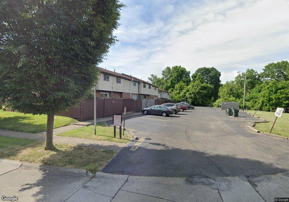
4873 Foxcroft Ct Unit G7 Columbus, OH 43232
Glenbrook NeighborhoodEstimated Value: $111,000 - $162,000
3
Beds
2
Baths
1,180
Sq Ft
$113/Sq Ft
Est. Value
About This Home
This home is located at 4873 Foxcroft Ct Unit G7, Columbus, OH 43232 and is currently estimated at $133,488, approximately $113 per square foot. 4873 Foxcroft Ct Unit G7 is a home located in Franklin County with nearby schools including Oakmont Elementary School, Yorktown Middle School, and Independence High School.
Ownership History
Date
Name
Owned For
Owner Type
Purchase Details
Closed on
Dec 29, 2006
Sold by
Young Nancy L and Geer Nancy L
Bought by
Alemu Samuel and Mamo Woyneshet G
Current Estimated Value
Home Financials for this Owner
Home Financials are based on the most recent Mortgage that was taken out on this home.
Original Mortgage
$54,800
Outstanding Balance
$32,803
Interest Rate
6.24%
Mortgage Type
Purchase Money Mortgage
Estimated Equity
$100,685
Purchase Details
Closed on
Dec 26, 1978
Bought by
Geer Nancy L
Create a Home Valuation Report for This Property
The Home Valuation Report is an in-depth analysis detailing your home's value as well as a comparison with similar homes in the area
Home Values in the Area
Average Home Value in this Area
Purchase History
| Date | Buyer | Sale Price | Title Company |
|---|---|---|---|
| Alemu Samuel | $68,500 | Foundation | |
| Geer Nancy L | $23,000 | -- |
Source: Public Records
Mortgage History
| Date | Status | Borrower | Loan Amount |
|---|---|---|---|
| Open | Alemu Samuel | $54,800 |
Source: Public Records
Tax History Compared to Growth
Tax History
| Year | Tax Paid | Tax Assessment Tax Assessment Total Assessment is a certain percentage of the fair market value that is determined by local assessors to be the total taxable value of land and additions on the property. | Land | Improvement |
|---|---|---|---|---|
| 2024 | $2,178 | $32,100 | $1,050 | $31,050 |
| 2023 | $1,422 | $32,095 | $1,050 | $31,045 |
| 2022 | $946 | $18,240 | $1,330 | $16,910 |
| 2021 | $948 | $18,240 | $1,330 | $16,910 |
| 2020 | $949 | $18,240 | $1,330 | $16,910 |
| 2019 | $903 | $14,560 | $1,050 | $13,510 |
| 2018 | $890 | $14,560 | $1,050 | $13,510 |
| 2017 | $912 | $14,560 | $1,050 | $13,510 |
| 2016 | $927 | $14,000 | $2,100 | $11,900 |
| 2015 | $842 | $14,000 | $2,100 | $11,900 |
| 2014 | $844 | $14,000 | $2,100 | $11,900 |
| 2013 | $521 | $17,500 | $2,625 | $14,875 |
Source: Public Records
Map
Nearby Homes
- 2173 Noe Bixby Rd
- 1945 Riverdale Rd
- 5123 Jameson Dr
- 5061 Labelle Dr
- 5114 Carbondale Dr
- 2615 Carbondale Place
- 5036 Brinwood Place
- 4589 Belfast Dr
- 4649 Dundee Ave
- 4475 Ellery Dr
- 2706 Maywood Rd
- 1691 Shady Lane Rd
- 5268 Carbondale Dr
- 2746 Noe Bixby Rd
- 5011 Refugee Rd
- 2705 Denmark Rd
- 5137 Holbrook Dr
- 2651 Brownfield Rd
- 1607 Simpson Dr
- 5337 Ivyhurst Dr
- 4871 Foxcroft Ct Unit G6
- 4875 Foxcroft Ct Unit G8
- 4869 Foxcroft Ct Unit G5
- 4877 Foxcroft Ct Unit G9
- 4865 Foxcroft Ct
- 2197 Foxcroft Green
- 2195 Foxcroft Green Unit E1
- 2201 Foxcroft Green Unit E4
- 2199 Foxcroft Green Unit E3
- 4863 Foxcroft Ct
- 2203 Foxcroft Green Unit D1
- 2193 Foxcroft Green
- 2191 Foxcroft Green Unit F4
- 2205 Foxcroft Green
- 4861 Foxcroft Ct
- 2189 Foxcroft Green Unit F3
- 2207 Foxcroft Green Unit D3
- 2187 Foxcroft Green Unit F2
- 2209 Foxcroft Green