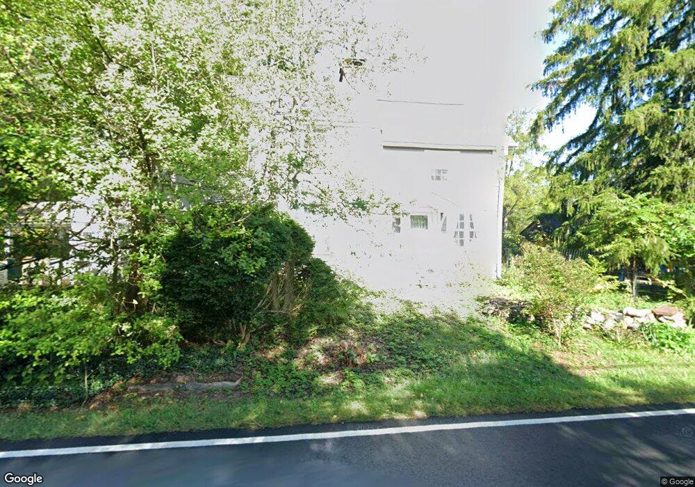
4874 Anderson Rd Doylestown, PA 18902
Estimated Value: $673,000 - $767,000
3
Beds
2
Baths
2,110
Sq Ft
$336/Sq Ft
Est. Value
About This Home
This home is located at 4874 Anderson Rd, Doylestown, PA 18902 and is currently estimated at $707,999, approximately $335 per square foot. 4874 Anderson Rd is a home located in Bucks County with nearby schools including Buckingham Elementary School, Holicong Middle School, and Central Bucks High School - East.
Ownership History
Date
Name
Owned For
Owner Type
Purchase Details
Closed on
Aug 17, 2009
Sold by
Tilden Geoffrey G and Hey Carol Ann
Bought by
Hey Carol Ann
Current Estimated Value
Purchase Details
Closed on
May 27, 1994
Sold by
Roop Robert N and Roop Susan R
Bought by
Tilden Geoffrey G and Hey Carol Ann
Home Financials for this Owner
Home Financials are based on the most recent Mortgage that was taken out on this home.
Original Mortgage
$135,000
Interest Rate
8.29%
Purchase Details
Closed on
May 9, 1994
Sold by
Roop Robert N and Roop Susan R
Bought by
Buckingham Township
Home Financials for this Owner
Home Financials are based on the most recent Mortgage that was taken out on this home.
Original Mortgage
$135,000
Interest Rate
8.29%
Create a Home Valuation Report for This Property
The Home Valuation Report is an in-depth analysis detailing your home's value as well as a comparison with similar homes in the area
Home Values in the Area
Average Home Value in this Area
Purchase History
| Date | Buyer | Sale Price | Title Company |
|---|---|---|---|
| Hey Carol Ann | -- | None Available | |
| Tilden Geoffrey G | $207,000 | -- | |
| Buckingham Township | -- | -- |
Source: Public Records
Mortgage History
| Date | Status | Borrower | Loan Amount |
|---|---|---|---|
| Closed | Tilden Geoffrey G | $135,000 |
Source: Public Records
Tax History Compared to Growth
Tax History
| Year | Tax Paid | Tax Assessment Tax Assessment Total Assessment is a certain percentage of the fair market value that is determined by local assessors to be the total taxable value of land and additions on the property. | Land | Improvement |
|---|---|---|---|---|
| 2025 | $5,249 | $32,240 | $10,480 | $21,760 |
| 2024 | $5,249 | $32,240 | $10,480 | $21,760 |
| 2023 | $5,071 | $32,240 | $10,480 | $21,760 |
| 2022 | $5,010 | $32,240 | $10,480 | $21,760 |
| 2021 | $4,950 | $32,240 | $10,480 | $21,760 |
| 2020 | $4,950 | $32,240 | $10,480 | $21,760 |
| 2019 | $4,918 | $32,240 | $10,480 | $21,760 |
| 2018 | $4,918 | $32,240 | $10,480 | $21,760 |
| 2017 | $4,878 | $32,240 | $10,480 | $21,760 |
| 2016 | $4,926 | $32,240 | $10,480 | $21,760 |
| 2015 | -- | $32,240 | $10,480 | $21,760 |
| 2014 | -- | $32,240 | $10,480 | $21,760 |
Source: Public Records
Map
Nearby Homes
- 5025 Anderson Rd
- 2565 Bogarts Tavern Rd
- 4604 Sands Way
- 2880 Snake Hill Rd
- 4871 E Blossom Dr
- 2728 Red Gate Dr
- 5358 York Rd
- 2799 Manion Way
- 3111 Burnt House Hill Rd
- 5110 Harmony Ct W
- 4350 Church Rd
- 2855 Ash Mill Rd
- 4928 Edgewood Rd
- 3146 Mill Rd
- 3196 Mill Rd
- 2905 Ash Mill Rd
- 3479 Durham Rd
- 3455 Durham Rd
- 4245 Mechanicsville Rd
- 3468 Holicong Rd