Estimated Value: $244,492 - $316,000
Studio
1
Bath
924
Sq Ft
$304/Sq Ft
Est. Value
About This Home
This home is located at 4875 Howe Rd, Bath, MI 48808 and is currently estimated at $280,497, approximately $303 per square foot. 4875 Howe Rd is a home located in Clinton County with nearby schools including Bath Elementary School, Bath Middle School, and Bath High School.
Ownership History
Date
Name
Owned For
Owner Type
Purchase Details
Closed on
Jan 26, 2024
Sold by
Mcadams Lena
Bought by
Mcadams Glendon and Mcadams Lacey
Current Estimated Value
Purchase Details
Closed on
Jan 5, 2021
Sold by
Mcadams Eugene and Mcadams Lena
Bought by
Mcadams Glendon and Mcadams Lacey
Home Financials for this Owner
Home Financials are based on the most recent Mortgage that was taken out on this home.
Original Mortgage
$95,000
Interest Rate
2.7%
Mortgage Type
Land Contract Argmt. Of Sale
Create a Home Valuation Report for This Property
The Home Valuation Report is an in-depth analysis detailing your home's value as well as a comparison with similar homes in the area
Home Values in the Area
Average Home Value in this Area
Purchase History
| Date | Buyer | Sale Price | Title Company |
|---|---|---|---|
| Mcadams Glendon | $95,000 | None Listed On Document | |
| Mcadams Glendon | $95,000 | None Available |
Source: Public Records
Mortgage History
| Date | Status | Borrower | Loan Amount |
|---|---|---|---|
| Previous Owner | Mcadams Glendon | $95,000 |
Source: Public Records
Tax History
| Year | Tax Paid | Tax Assessment Tax Assessment Total Assessment is a certain percentage of the fair market value that is determined by local assessors to be the total taxable value of land and additions on the property. | Land | Improvement |
|---|---|---|---|---|
| 2025 | $2,625 | $116,200 | $34,100 | $82,100 |
| 2024 | $8 | $111,400 | $34,100 | $77,300 |
| 2023 | $2,044 | $84,100 | $0 | $0 |
| 2022 | $1,953 | $77,400 | $30,200 | $47,200 |
| 2021 | $1,896 | $76,700 | $30,200 | $46,500 |
| 2020 | $1,842 | $71,100 | $29,300 | $41,800 |
| 2019 | $1,781 | $68,800 | $29,300 | $39,500 |
| 2018 | $1,700 | $66,800 | $29,300 | $37,500 |
| 2017 | $1,651 | $67,400 | $29,300 | $38,100 |
| 2016 | $1,646 | $67,500 | $30,900 | $36,600 |
| 2015 | -- | $68,800 | $0 | $0 |
| 2011 | -- | $66,400 | $0 | $0 |
Source: Public Records
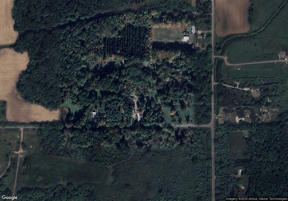
Map
Nearby Homes
- 13330 Nelson Rd
- 4340 Sleight Rd
- 5603 Sleight Rd
- 13780 Hamersley Dr
- 9383 E Round Lake Rd
- 0 E Chadwick Rd
- 2540 E Round Lake Rd
- V/L E Round Lake Rd
- 2470 E Herbison Rd
- 0 E Howe Rd Unit 26004308
- V/L E Chadwick Rd
- 13158 Wood Rd
- 1840 E Round Lake Rd
- 4203 Hamlet Cove Unit 36
- 0 Upton Rd Unit 292779
- 15060 Classic Dr Unit 34
- 15100 Mulligan Dr
- E Howe Rd
- 15250 Mulligan Dr Unit 79
- 15252 Mulligan Dr
- 4835 Howe Rd
- 4646 Howe Rd
- 4646 Howe Rd
- 4646 Howe Rd
- 4590 Howe Rd
- D Watson Rd
- A Watson Rd
- 12200 Watson Rd
- 11890 Watson Rd
- 11816 Watson Rd
- 11796 Watson Rd
- 0 Watson Unit 227855
- 0 Watson Unit 210333
- 0 Watson Unit 276387
- 0 Watson Unit 31661
- 0 Watson Unit 37663
- 0 Watson Unit 74293
- 0 Watson Unit 78025
- 0 Watson Unit 80532
Your Personal Tour Guide
Ask me questions while you tour the home.