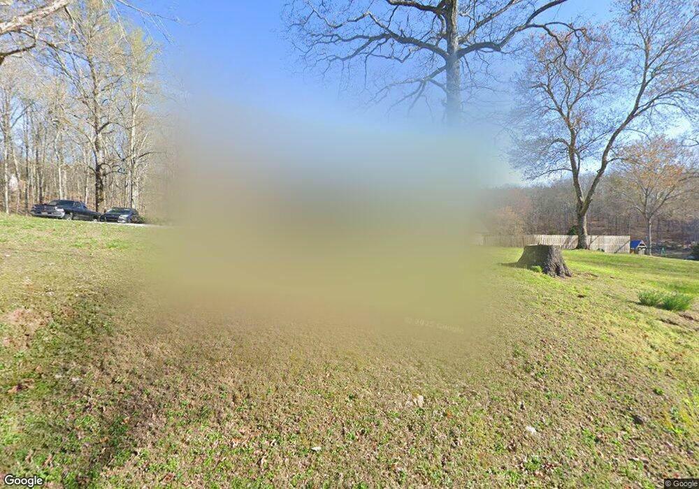
488 Gage Rd Philadelphia, TN 37846
Estimated Value: $302,000 - $646,000
3
Beds
3
Baths
2,140
Sq Ft
$203/Sq Ft
Est. Value
About This Home
This home is located at 488 Gage Rd, Philadelphia, TN 37846 and is currently estimated at $433,658, approximately $202 per square foot. 488 Gage Rd is a home located in Roane County with nearby schools including Midway Elementary School, Kingston Elementary School, and Midtown Elementary School.
Ownership History
Date
Name
Owned For
Owner Type
Purchase Details
Closed on
Sep 2, 2011
Sold by
Land South Tennessee
Bought by
Anderson James Henry and Anderson Susanne Denise
Current Estimated Value
Purchase Details
Closed on
Jun 6, 2000
Sold by
Gallaher Larry D
Bought by
Johnnie Labbee
Purchase Details
Closed on
Jul 31, 1998
Bought by
Anderson Jim and Anderson Suzanne
Purchase Details
Closed on
Jun 15, 1998
Sold by
Richard Anderson William
Bought by
Jonathan Holt
Purchase Details
Closed on
Jan 2, 1981
Bought by
Anderson William Richard
Purchase Details
Closed on
May 12, 1975
Bought by
Anderson Jim and Anderson Suzanne
Create a Home Valuation Report for This Property
The Home Valuation Report is an in-depth analysis detailing your home's value as well as a comparison with similar homes in the area
Home Values in the Area
Average Home Value in this Area
Purchase History
| Date | Buyer | Sale Price | Title Company |
|---|---|---|---|
| Anderson James Henry | $35,076 | -- | |
| Johnnie Labbee | $38,000 | -- | |
| Anderson Jim | $2,000 | -- | |
| Jonathan Holt | $70,000 | -- | |
| Anderson William Richard | -- | -- | |
| Anderson Jim | -- | -- |
Source: Public Records
Tax History Compared to Growth
Tax History
| Year | Tax Paid | Tax Assessment Tax Assessment Total Assessment is a certain percentage of the fair market value that is determined by local assessors to be the total taxable value of land and additions on the property. | Land | Improvement |
|---|---|---|---|---|
| 2024 | $1,546 | $64,425 | $2,725 | $61,700 |
| 2023 | $1,319 | $64,425 | $2,725 | $61,700 |
| 2022 | $1,303 | $54,300 | $2,725 | $51,575 |
| 2021 | $1,341 | $54,300 | $2,725 | $51,575 |
| 2020 | $1,342 | $54,300 | $2,725 | $51,575 |
| 2019 | $1,093 | $40,700 | $2,600 | $38,100 |
| 2018 | $1,048 | $40,700 | $2,600 | $38,100 |
| 2017 | $1,048 | $40,700 | $2,600 | $38,100 |
| 2016 | $1,048 | $40,700 | $2,600 | $38,100 |
| 2015 | $1,048 | $40,700 | $2,600 | $38,100 |
| 2013 | -- | $43,675 | $2,900 | $40,775 |
Source: Public Records
Map
Nearby Homes
- 114 Viars Rd
- 00 Dogtown Rd
- 1148 Salem Valley Rd
- 0 Paint Rock Valley Rd Unit 1291780
- 137 Dogtown Rd
- 701 Paint Rock Valley Rd
- 0 High Ridge Rd
- 119 Arnold Rd
- 0 Dogtown Rd
- 228 Pattie Gap Rd
- 1440 Dry Fork Valley Rd
- 1140 Paint Rock Valley Rd
- 1055 Laurel Bluff Rd
- 00 Johnson Valley Rd
- 224 Pattie Gap Rd
- 1425 Sweetwater Rd
- 4957 Decatur Hwy
- Lot 2 Raby Hollow Rd
- Lot 4 Raby Hollow Rd
- Lot 5 Raby Hollow Rd
