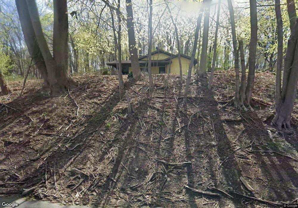
488 State Rt 23 Franklin, NJ 07416
Estimated Value: $357,792 - $431,000
3
Beds
1
Bath
1,525
Sq Ft
$255/Sq Ft
Est. Value
About This Home
This home is located at 488 State Rt 23, Franklin, NJ 07416 and is currently estimated at $388,948, approximately $255 per square foot. 488 State Rt 23 is a home located in Sussex County with nearby schools including Franklin Elementary School, Wallkill Valley Regional High School, and Immaculate Conception Regional School.
Ownership History
Date
Name
Owned For
Owner Type
Purchase Details
Closed on
Jul 7, 2020
Sold by
Kulsar L Thomas L and Kulsar Jo Ann
Bought by
Sierra Carlos D
Current Estimated Value
Home Financials for this Owner
Home Financials are based on the most recent Mortgage that was taken out on this home.
Original Mortgage
$192,449
Interest Rate
3.1%
Mortgage Type
FHA
Purchase Details
Closed on
May 7, 2009
Sold by
Kulsar Louis T and Kulsar Geraldine
Bought by
Kulsar L Thomas and Kulsar Jo Ann
Create a Home Valuation Report for This Property
The Home Valuation Report is an in-depth analysis detailing your home's value as well as a comparison with similar homes in the area
Home Values in the Area
Average Home Value in this Area
Purchase History
| Date | Buyer | Sale Price | Title Company |
|---|---|---|---|
| Sierra Carlos D | $196,000 | Reliant Title Agency Llc | |
| Sierra Carlos D | $196,000 | Reliant Title | |
| Kulsar L Thomas | $297,000 | None Available |
Source: Public Records
Mortgage History
| Date | Status | Borrower | Loan Amount |
|---|---|---|---|
| Previous Owner | Sierra Carlos D | $192,449 |
Source: Public Records
Tax History
| Year | Tax Paid | Tax Assessment Tax Assessment Total Assessment is a certain percentage of the fair market value that is determined by local assessors to be the total taxable value of land and additions on the property. | Land | Improvement |
|---|---|---|---|---|
| 2025 | $8,241 | $338,900 | $107,500 | $231,400 |
| 2024 | $8,208 | $310,500 | $87,900 | $222,600 |
Source: Public Records
Map
Nearby Homes
- 19 John Wilton St Unit 21
- 66 Nestor St
- 580 State Rt 23
- 20 High Point CI
- 35 Liberty Ln Unit Y2
- 140 Wheatsworth Rd
- 63 Liberty Ln Unit 7
- 62 High St
- 52 High St
- 112 Scott Rd
- 6 Mulberry St
- 212 New Jersey 23
- 26 Wyker Rd Unit A
- 30 King Cole Rd
- 142 New Jersey 23
- 71 Wishing Well Rd
- 65 Buckwheat Rd
- 142 Wheatsworth Rd
- 54 Summit Rd
- 18 Governor Haines St
Your Personal Tour Guide
Ask me questions while you tour the home.