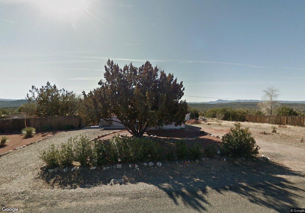
4885 E Redrock Dr Rimrock, AZ 86335
Lake Montezuma NeighborhoodEstimated Value: $274,012 - $339,000
--
Bed
--
Bath
960
Sq Ft
$326/Sq Ft
Est. Value
About This Home
This home is located at 4885 E Redrock Dr, Rimrock, AZ 86335 and is currently estimated at $312,503, approximately $325 per square foot. 4885 E Redrock Dr is a home located in Yavapai County with nearby schools including Beaver Creek School and Sedona Sky Academy.
Ownership History
Date
Name
Owned For
Owner Type
Purchase Details
Closed on
Dec 23, 2004
Sold by
Sordahl Jeffery L and Tyson Sordahl Alice L
Bought by
Brown David B
Current Estimated Value
Home Financials for this Owner
Home Financials are based on the most recent Mortgage that was taken out on this home.
Original Mortgage
$100,000
Outstanding Balance
$49,880
Interest Rate
5.67%
Mortgage Type
New Conventional
Estimated Equity
$262,623
Purchase Details
Closed on
Oct 27, 1998
Sold by
Lang Kenneth and Lang Kenneth C
Bought by
Sordahl Jeffrey L and Tyson Sordahl Alice L
Home Financials for this Owner
Home Financials are based on the most recent Mortgage that was taken out on this home.
Original Mortgage
$60,300
Interest Rate
6.42%
Mortgage Type
New Conventional
Purchase Details
Closed on
Nov 18, 1993
Sold by
Lang Rose M
Bought by
Lang Rose Margaret
Create a Home Valuation Report for This Property
The Home Valuation Report is an in-depth analysis detailing your home's value as well as a comparison with similar homes in the area
Home Values in the Area
Average Home Value in this Area
Purchase History
| Date | Buyer | Sale Price | Title Company |
|---|---|---|---|
| Brown David B | $130,000 | Yavapai Title Agency | |
| Sordahl Jeffrey L | $67,000 | Transnation Title Company | |
| Lang Rose Margaret | -- | -- |
Source: Public Records
Mortgage History
| Date | Status | Borrower | Loan Amount |
|---|---|---|---|
| Open | Brown David B | $100,000 | |
| Previous Owner | Sordahl Jeffrey L | $60,300 |
Source: Public Records
Tax History Compared to Growth
Tax History
| Year | Tax Paid | Tax Assessment Tax Assessment Total Assessment is a certain percentage of the fair market value that is determined by local assessors to be the total taxable value of land and additions on the property. | Land | Improvement |
|---|---|---|---|---|
| 2026 | $848 | $16,498 | -- | -- |
| 2024 | $822 | $17,034 | -- | -- |
| 2023 | $822 | $14,590 | $2,170 | $12,420 |
| 2022 | $853 | $11,201 | $1,280 | $9,921 |
| 2021 | $815 | $10,815 | $1,555 | $9,260 |
| 2020 | $795 | $0 | $0 | $0 |
| 2019 | $782 | $0 | $0 | $0 |
| 2018 | $756 | $0 | $0 | $0 |
| 2017 | $836 | $0 | $0 | $0 |
| 2016 | $708 | $0 | $0 | $0 |
| 2015 | -- | $0 | $0 | $0 |
| 2014 | -- | $0 | $0 | $0 |
Source: Public Records
Map
Nearby Homes
- 4775 E Redrock Dr
- 4845 E Oswego St Unit 110
- 4150 N Forestglen Rd
- 4765 E Valley Ln
- 4750 E Valley Ln
- 4890 E Cochise Dr
- 4585 E Valley Ln
- 4177 N Pecan Way
- 4545 E Geronimo Rd Unit 354 and 353
- 4525 N Nachez Dr
- 4500 N Nachez Dr Unit 140
- 4325 N Pine Dr Unit 337
- 4325 N Pine Dr
- 4375 E Cliffside Trail Unit 71
- 4375 E Cliffside Trail Unit 71, 72
- 4785 Smoke Signal Way Unit 111
- 4695 Kerry Dr
- 4335 Coyote Canyon
- 4390 Coyote Canyon Unit 59 and 60
- 4815 E Lavin Ln Unit 145
- 4915 E Redrock Dr
- 4945 E Redrock Dr
- 4855 E Redrock Dr
- 4880 E Redrock Dr
- 4870 E Redrock Dr Unit 2
- 4870 E Redrock Dr
- 4890 E Redrock Dr
- 4925 E Redrock Dr
- 4920 E Redrock Dr
- 4875 E Cedar Dr
- 4850 E Redrock Dr
- 4865 E Cedar Dr
- 4845 E Cedar Dr
- 4830 E Redrock Dr
- 4955 E Redrock Dr
- 4825 E Redrock Dr
- 4820 E Redrock Dr
- 4950 E Redrock Dr Unit 2
- 4945 E Cedar Dr
- 4870 E Cedar Dr