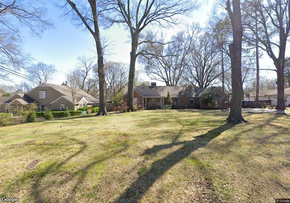
4887 Shady Grove Rd Memphis, TN 38117
Audubon Park NeighborhoodEstimated Value: $488,000 - $712,000
5
Beds
4
Baths
3,712
Sq Ft
$163/Sq Ft
Est. Value
About This Home
This home is located at 4887 Shady Grove Rd, Memphis, TN 38117 and is currently estimated at $604,111, approximately $162 per square foot. 4887 Shady Grove Rd is a home located in Shelby County with nearby schools including White Station Elementary School, White Station High, and White Station Middle.
Ownership History
Date
Name
Owned For
Owner Type
Purchase Details
Closed on
Sep 3, 2002
Sold by
Williams David D and Williams Michelle M
Bought by
Elder Alexander C and Elder Melissa D
Current Estimated Value
Home Financials for this Owner
Home Financials are based on the most recent Mortgage that was taken out on this home.
Original Mortgage
$256,000
Outstanding Balance
$108,188
Interest Rate
6.4%
Estimated Equity
$495,923
Create a Home Valuation Report for This Property
The Home Valuation Report is an in-depth analysis detailing your home's value as well as a comparison with similar homes in the area
Home Values in the Area
Average Home Value in this Area
Purchase History
| Date | Buyer | Sale Price | Title Company |
|---|---|---|---|
| Elder Alexander C | $320,000 | -- |
Source: Public Records
Mortgage History
| Date | Status | Borrower | Loan Amount |
|---|---|---|---|
| Open | Elder Alexander C | $256,000 | |
| Closed | Elder Alexander C | $32,000 |
Source: Public Records
Tax History Compared to Growth
Tax History
| Year | Tax Paid | Tax Assessment Tax Assessment Total Assessment is a certain percentage of the fair market value that is determined by local assessors to be the total taxable value of land and additions on the property. | Land | Improvement |
|---|---|---|---|---|
| 2025 | $3,803 | $151,450 | $50,950 | $100,500 |
| 2024 | $3,803 | $112,175 | $38,250 | $73,925 |
| 2023 | $6,833 | $112,175 | $38,250 | $73,925 |
| 2022 | $6,833 | $112,175 | $38,250 | $73,925 |
| 2021 | $6,913 | $112,175 | $38,250 | $73,925 |
| 2020 | $5,974 | $82,450 | $38,250 | $44,200 |
| 2019 | $5,974 | $82,450 | $38,250 | $44,200 |
| 2018 | $5,974 | $82,450 | $38,250 | $44,200 |
| 2017 | $3,389 | $82,450 | $38,250 | $44,200 |
| 2016 | $3,889 | $89,000 | $0 | $0 |
| 2014 | $3,889 | $89,000 | $0 | $0 |
Source: Public Records
Map
Nearby Homes
- 4859 Gwynne Rd
- 4772 Gwynne Rd
- 5071 Anchor Cove
- 4916 Greenway Ave
- 4926 Greenway Ave
- 356 Clove Dr
- 4903 Greenway Ave
- 5055 Greenway Rd
- 4736 All Spice Dr Unit 71E
- 435 Fairfield Cir
- 5094 Cole Rd
- 267 Barry Rd
- 264 Barry Rd
- 427 S Perkins Rd Unit 427-2
- 4654 Hemlock Ln
- 4975 Brookwood Cove
- 4948 Fairfield Cir
- 378 Caraway Cove Unit 10A
- 380 Greenway Place
- 5068 Walnut Grove Rd
- 4903 Shady Grove Rd
- 4871 Shady Grove Rd
- 4894 Roane Rd
- 4915 Shady Grove Rd
- 4880 Roane Rd
- 4892 Shady Grove Rd
- 4882 Shady Grove Rd
- 4906 Roane Rd
- 4904 Shady Grove Rd
- 4872 Shady Grove Rd
- 4861 Shady Grove Rd
- 4926 Shady Grove Rd
- 4918 Roane Rd
- 4925 Shady Grove Rd
- 4862 Shady Grove Rd
- 4928 Shady Grove Rd
- 4885 Gwynne Rd
- 4889 Roane Rd
- 4930 Roane Rd
- 4897 Gwynne Rd