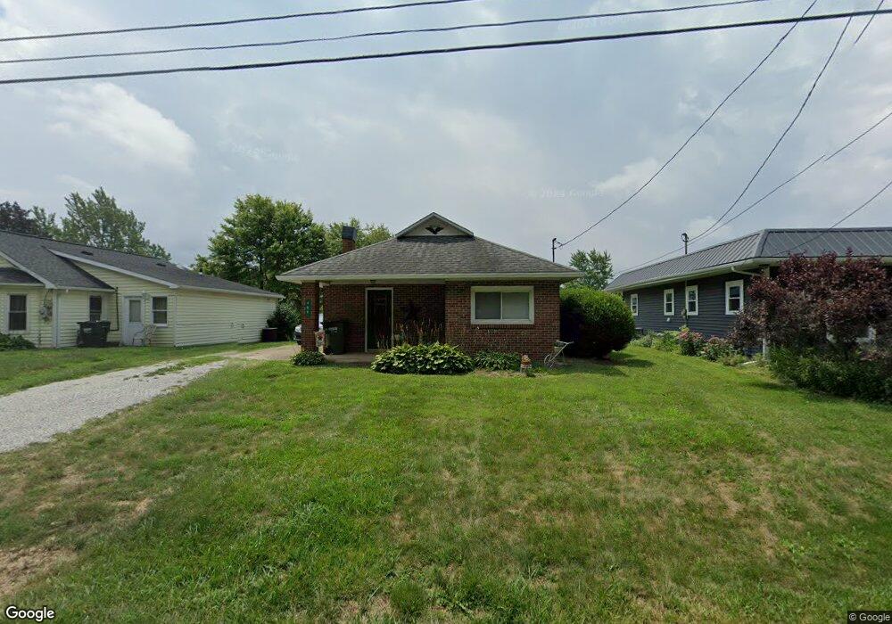
489 Liberty St Shreve, OH 44676
Estimated Value: $132,000 - $182,000
2
Beds
1
Bath
976
Sq Ft
$157/Sq Ft
Est. Value
About This Home
This home is located at 489 Liberty St, Shreve, OH 44676 and is currently estimated at $153,026, approximately $156 per square foot. 489 Liberty St is a home located in Wayne County with nearby schools including Triway High School, Sunny Slope C/O Ervin Mast, and ORCHARD LANE SCHOOL.
Ownership History
Date
Name
Owned For
Owner Type
Purchase Details
Closed on
Nov 20, 2020
Sold by
Babb Darby J
Bought by
Drown Lisa D
Current Estimated Value
Purchase Details
Closed on
Mar 27, 1997
Sold by
Campbell Cheryl M
Bought by
Babb Darby J
Home Financials for this Owner
Home Financials are based on the most recent Mortgage that was taken out on this home.
Original Mortgage
$50,350
Interest Rate
7.73%
Mortgage Type
New Conventional
Purchase Details
Closed on
Feb 23, 1993
Sold by
Butler Michael L and Butler Lori A
Bought by
Campbell Cheryl M
Purchase Details
Closed on
Apr 4, 1989
Sold by
Smetzer Philip J and Smetzer Joann
Bought by
Butler Michael L and Butler Lori A
Create a Home Valuation Report for This Property
The Home Valuation Report is an in-depth analysis detailing your home's value as well as a comparison with similar homes in the area
Home Values in the Area
Average Home Value in this Area
Purchase History
| Date | Buyer | Sale Price | Title Company |
|---|---|---|---|
| Drown Lisa D | -- | None Available | |
| Babb Darby J | $53,000 | -- | |
| Campbell Cheryl M | $45,000 | -- | |
| Butler Michael L | $35,000 | -- |
Source: Public Records
Mortgage History
| Date | Status | Borrower | Loan Amount |
|---|---|---|---|
| Previous Owner | Babb Darby J | $50,350 |
Source: Public Records
Tax History Compared to Growth
Tax History
| Year | Tax Paid | Tax Assessment Tax Assessment Total Assessment is a certain percentage of the fair market value that is determined by local assessors to be the total taxable value of land and additions on the property. | Land | Improvement |
|---|---|---|---|---|
| 2024 | $1,112 | $29,240 | $10,080 | $19,160 |
| 2023 | $1,110 | $29,240 | $10,080 | $19,160 |
| 2022 | $973 | $23,030 | $7,940 | $15,090 |
| 2021 | $975 | $23,030 | $7,940 | $15,090 |
| 2020 | $905 | $23,030 | $7,940 | $15,090 |
| 2019 | $832 | $20,500 | $6,800 | $13,700 |
| 2018 | $837 | $20,500 | $6,800 | $13,700 |
| 2017 | $502 | $20,690 | $6,800 | $13,890 |
| 2016 | $822 | $20,030 | $6,800 | $13,230 |
| 2015 | $803 | $20,030 | $6,800 | $13,230 |
| 2014 | $824 | $20,030 | $6,800 | $13,230 |
| 2013 | $859 | $20,370 | $7,140 | $13,230 |
Source: Public Records
Map
Nearby Homes
- 261 N Main St
- 265 S Main St
- 432 N Market St
- 236 Jones St
- 270 Church St
- 292 E Mcconkey St
- 283 E Wood St
- 286 E Robinson St
- 10840 County Road 1
- 9139 County Road 51
- 8070 County Road 318
- 7869 County Road 51
- 7241 S Funk Rd
- 5001 S Jefferson Rd
- 110 S Elyria Rd
- 4220 S Elyria Rd
- 8791 James Rd
- 3532 Triway Ln
- 3979 Batdorf Rd
- 7904 Hoy Rd
- 497 Liberty St
- 497 W Liberty St
- 481 Liberty St
- 473 Liberty St
- 465 Liberty St
- 481 W Liberty St
- 500 Liberty St
- 449 Liberty St
- 425 Liberty St
- 415 Liberty St
- 405 Liberty St
- 430 Liberty St
- 430 Liberty St
- 402 Liberty St
- 141 Orchard St
- 121 Orchard St
- 385 W Liberty St
- 451 Orchard St
- 398 W Robinson St
- 160 Orchard St