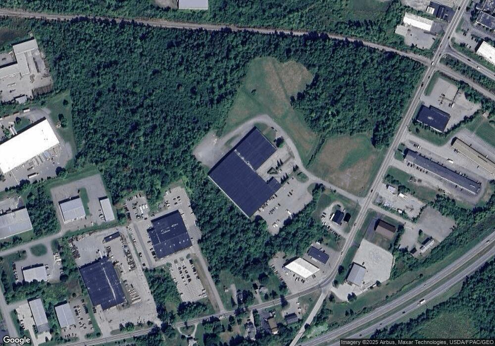
489 Odlin Rd Bangor, ME 04401
West Bangor Neighborhood
--
Bed
--
Bath
100,431
Sq Ft
27.56
Acres
About This Home
This home is located at 489 Odlin Rd, Bangor, ME 04401. 489 Odlin Rd is a home located in Penobscot County with nearby schools including Vine Street School, Fairmount School, and James F. Doughty School.
Ownership History
Date
Name
Owned For
Owner Type
Purchase Details
Closed on
Apr 26, 2018
Sold by
Ssr 2 Llc
Bought by
J & K Holdings Llc
Purchase Details
Closed on
Apr 29, 2013
Sold by
Ssr Llc
Bought by
Ssr 2 Llc
Purchase Details
Closed on
Mar 18, 2010
Sold by
Odlin Road Nt
Bought by
Ssr Llc
Home Financials for this Owner
Home Financials are based on the most recent Mortgage that was taken out on this home.
Original Mortgage
$1,200,000
Interest Rate
4.97%
Mortgage Type
Commercial
Create a Home Valuation Report for This Property
The Home Valuation Report is an in-depth analysis detailing your home's value as well as a comparison with similar homes in the area
Home Values in the Area
Average Home Value in this Area
Purchase History
| Date | Buyer | Sale Price | Title Company |
|---|---|---|---|
| J & K Holdings Llc | -- | -- | |
| Ssr 2 Llc | -- | -- | |
| Ssr Llc | -- | -- |
Source: Public Records
Mortgage History
| Date | Status | Borrower | Loan Amount |
|---|---|---|---|
| Previous Owner | Ssr Llc | $1,200,000 |
Source: Public Records
Tax History Compared to Growth
Tax History
| Year | Tax Paid | Tax Assessment Tax Assessment Total Assessment is a certain percentage of the fair market value that is determined by local assessors to be the total taxable value of land and additions on the property. | Land | Improvement |
|---|---|---|---|---|
| 2024 | $49,592 | $2,673,400 | $457,400 | $2,216,000 |
| 2023 | $47,291 | $2,469,500 | $457,400 | $2,012,100 |
| 2022 | $40,755 | $1,997,800 | $482,300 | $1,515,500 |
| 2021 | $41,242 | $1,849,400 | $446,600 | $1,402,800 |
| 2020 | $41,760 | $1,800,000 | $446,600 | $1,353,400 |
| 2019 | $41,320 | $1,796,500 | $446,600 | $1,349,900 |
| 2018 | $38,095 | $1,659,900 | $366,600 | $1,293,300 |
| 2017 | $37,482 | $1,673,900 | $366,600 | $1,307,300 |
| 2016 | $37,217 | $1,654,100 | $366,600 | $1,287,500 |
| 2015 | -- | $1,665,000 | $366,600 | $1,298,400 |
| 2014 | $36,059 | $1,654,100 | $366,600 | $1,287,500 |
| 2013 | $34,420 | $1,654,800 | $366,600 | $1,288,200 |
Source: Public Records
Map
Nearby Homes