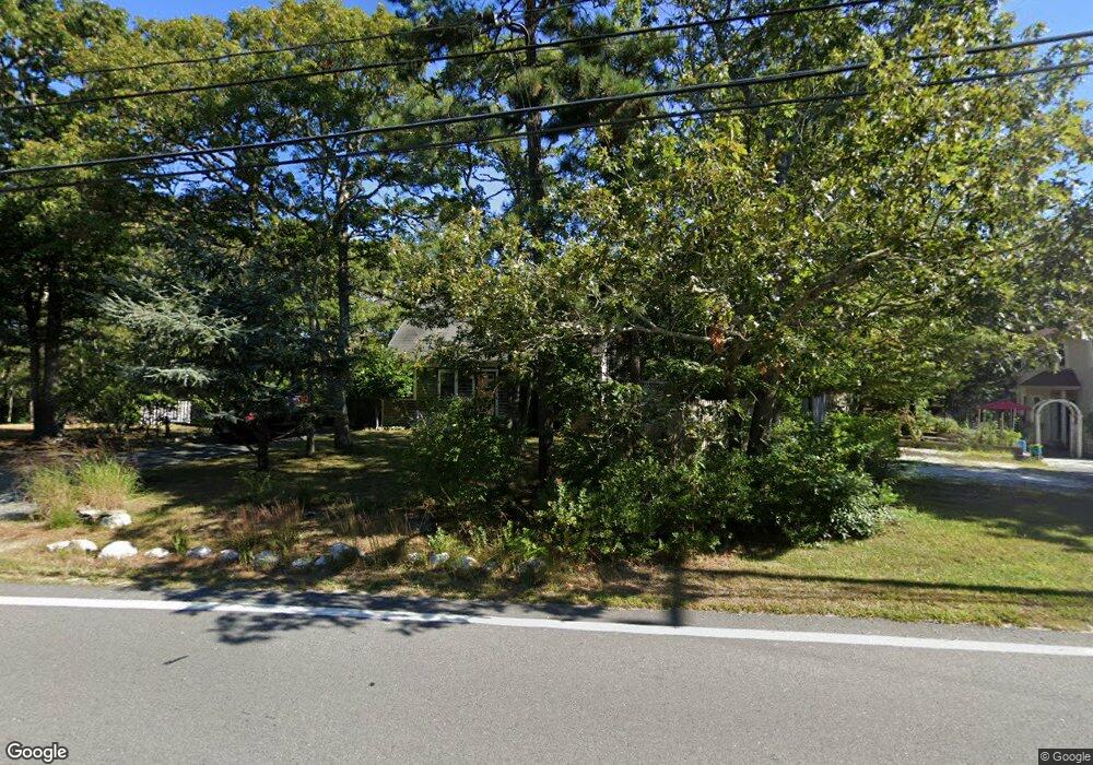
489 Slough Rd Brewster, MA 02631
Estimated Value: $359,000 - $548,545
2
Beds
1
Bath
768
Sq Ft
$648/Sq Ft
Est. Value
About This Home
This home is located at 489 Slough Rd, Brewster, MA 02631 and is currently estimated at $497,386, approximately $647 per square foot. 489 Slough Rd is a home located in Barnstable County with nearby schools including Stony Brook Elementary School, Eddy Elementary School, and Nauset Regional Middle School.
Create a Home Valuation Report for This Property
The Home Valuation Report is an in-depth analysis detailing your home's value as well as a comparison with similar homes in the area
Home Values in the Area
Average Home Value in this Area
Tax History
| Year | Tax Paid | Tax Assessment Tax Assessment Total Assessment is a certain percentage of the fair market value that is determined by local assessors to be the total taxable value of land and additions on the property. | Land | Improvement |
|---|---|---|---|---|
| 2025 | $3,092 | $449,400 | $220,300 | $229,100 |
| 2024 | $2,888 | $424,100 | $207,800 | $216,300 |
| 2023 | $2,667 | $381,500 | $185,500 | $196,000 |
| 2022 | $2,378 | $302,900 | $139,100 | $163,800 |
| 2021 | $2,279 | $265,600 | $120,900 | $144,700 |
| 2020 | $2,231 | $258,800 | $120,900 | $137,900 |
| 2019 | $2,402 | $251,000 | $116,300 | $134,700 |
| 2018 | $1,993 | $241,300 | $116,300 | $125,000 |
| 2017 | $1,974 | $235,300 | $116,300 | $119,000 |
| 2016 | $1,900 | $225,400 | $114,100 | $111,300 |
| 2015 | $1,832 | $221,800 | $111,800 | $110,000 |
Source: Public Records
Map
Nearby Homes
- 360 Airline Rd
- 2 Beaver Dam Way
- 432 Old Chatham Rd Unit 403
- 83 Airline Rd
- 36 Island St
- 13 Rogers Rd
- 86 Greenland Cir
- 37 Cyprus Rd
- 37 Cyprus Rd
- 20 Sycamore Ln
- 102 Wildwood Rd
- 0 Canoe Pond Dr
- 120 Red Maple Rd
- 92 Whiffletree Ave
- 92 Azalea Dr
- 3 Bittersweet Ln
- 241 Old Bass River Rd
- 1 Norseman Dr
- 144 Forest Pines Dr
- 6 Hawthorn St
Your Personal Tour Guide
Ask me questions while you tour the home.