489 Thorndike Pond Rd Jaffrey, NH 03452
Estimated Value: $559,000 - $770,000
3
Beds
4
Baths
3,074
Sq Ft
$231/Sq Ft
Est. Value
About This Home
This home is located at 489 Thorndike Pond Rd, Jaffrey, NH 03452 and is currently estimated at $708,930, approximately $230 per square foot. 489 Thorndike Pond Rd is a home located in Cheshire County with nearby schools including Jaffrey Grade School, Conant Middle High School, and Conant High School.
Ownership History
Date
Name
Owned For
Owner Type
Purchase Details
Closed on
Sep 17, 2020
Sold by
Anne Stuart Ret
Bought by
Patti A Potter T
Current Estimated Value
Purchase Details
Closed on
Sep 17, 2010
Sold by
Williams Francis H
Bought by
Patti A Potter T
Purchase Details
Closed on
Aug 9, 2006
Sold by
Davis Katherine W
Bought by
Williams Francis H
Purchase Details
Closed on
Sep 14, 2000
Sold by
Carew Timothy L
Bought by
Davis Caleb N and Davis Katherine W
Create a Home Valuation Report for This Property
The Home Valuation Report is an in-depth analysis detailing your home's value as well as a comparison with similar homes in the area
Home Values in the Area
Average Home Value in this Area
Purchase History
| Date | Buyer | Sale Price | Title Company |
|---|---|---|---|
| Patti A Potter T | -- | None Available | |
| Patti A Potter T | $267,300 | -- | |
| Williams Francis H | $550,000 | -- | |
| Davis Caleb N | $325,000 | -- |
Source: Public Records
Tax History Compared to Growth
Tax History
| Year | Tax Paid | Tax Assessment Tax Assessment Total Assessment is a certain percentage of the fair market value that is determined by local assessors to be the total taxable value of land and additions on the property. | Land | Improvement |
|---|---|---|---|---|
| 2024 | $14,517 | $442,600 | $83,000 | $359,600 |
| 2023 | $14,657 | $439,500 | $83,000 | $356,500 |
| 2022 | $13,616 | $439,500 | $83,000 | $356,500 |
| 2021 | $12,258 | $439,500 | $83,000 | $356,500 |
| 2020 | $12,124 | $440,400 | $83,900 | $356,500 |
| 2019 | $12,567 | $360,800 | $65,300 | $295,500 |
| 2018 | $11,906 | $360,800 | $65,300 | $295,500 |
| 2017 | $10,666 | $323,500 | $65,300 | $258,200 |
| 2016 | $10,676 | $323,500 | $65,300 | $258,200 |
| 2015 | $10,747 | $323,500 | $65,300 | $258,200 |
| 2014 | $11,367 | $385,979 | $125,712 | $260,267 |
| 2013 | $11,169 | $383,819 | $125,712 | $258,107 |
Source: Public Records
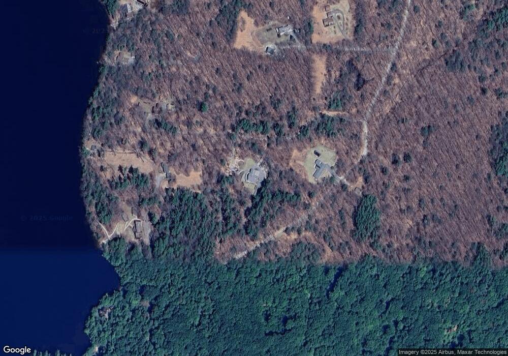
Map
Nearby Homes
- 00 Bryant Rd
- 199 Bryant Rd
- 159 Proctor Rd
- 144 Parsons Rd
- 00 Windmill Hill Rd
- 0 Roberts Dr Unit 24 5041429
- 0 Roberts Dr Unit 20 5041427
- 0 Roberts Dr Unit 5 5030097
- 0 Roberts Dr Unit 26 5022625
- 0 Roberts Dr Unit 26 5022624
- 0 Roberts Dr Unit 11 5022618
- 0 Roberts Dr Unit 18 5022612
- 0 Roberts Dr Unit 11 5022517
- 0 Roberts Dr Unit 18 5022516
- 0 Roberts Dr Unit 16 5022511
- 49 Roberts Dr Unit 23
- 13 Harkness Rd
- 168 Lower Jaffrey Rd
- 4 Windmill Hill Rd
- 43 Parsons Ln
- 517 Thorndike Pond Rd
- 481 Thorndike Pond Rd
- 533 Thorndike Pond Rd
- 551 Thorndike Pond Rd
- 549 Thorndike Pond Rd
- 577 Thorndike Pond Rd
- 455 Thorndike Pond Rd
- 575 Thorndike Pond Rd
- 573 Thorndike Pond Rd
- 37 Point Rd
- 35 Point Rd
- 33 Point Rd
- 402 Thorndike Pond Rd
- 403 Thorndike Pond Rd
- 21 Point Rd
- 31 Point Rd
- 25 Point Rd
- 27 Point Rd
- 400 Thorndike Pond Rd
- 29 Point Rd