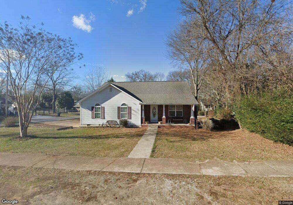
489 W Shadburn Ave Buford, GA 30518
Estimated Value: $405,000 - $483,000
3
Beds
3
Baths
1,944
Sq Ft
$225/Sq Ft
Est. Value
About This Home
This home is located at 489 W Shadburn Ave, Buford, GA 30518 and is currently estimated at $437,443, approximately $225 per square foot. 489 W Shadburn Ave is a home located in Gwinnett County with nearby schools including Buford Elementary School, Buford Senior Academy, and Buford Academy.
Ownership History
Date
Name
Owned For
Owner Type
Purchase Details
Closed on
Jul 14, 2017
Sold by
Gantes Martha J
Bought by
Lucker William G and Lucker Carolyn S
Current Estimated Value
Home Financials for this Owner
Home Financials are based on the most recent Mortgage that was taken out on this home.
Original Mortgage
$150,000
Outstanding Balance
$77,551
Interest Rate
3.91%
Mortgage Type
New Conventional
Estimated Equity
$359,892
Purchase Details
Closed on
Aug 15, 2005
Sold by
Cole Daniel C
Bought by
Gantes Martha J
Home Financials for this Owner
Home Financials are based on the most recent Mortgage that was taken out on this home.
Original Mortgage
$87,500
Interest Rate
5.61%
Mortgage Type
New Conventional
Purchase Details
Closed on
Apr 7, 2005
Sold by
Doster Luther J
Bought by
Cole Daniel C
Create a Home Valuation Report for This Property
The Home Valuation Report is an in-depth analysis detailing your home's value as well as a comparison with similar homes in the area
Home Values in the Area
Average Home Value in this Area
Purchase History
| Date | Buyer | Sale Price | Title Company |
|---|---|---|---|
| Lucker William G | $200,000 | -- | |
| Gantes Martha J | $87,500 | -- | |
| Cole Daniel C | $75,000 | -- |
Source: Public Records
Mortgage History
| Date | Status | Borrower | Loan Amount |
|---|---|---|---|
| Open | Lucker William G | $150,000 | |
| Previous Owner | Gantes Martha J | $87,500 |
Source: Public Records
Tax History Compared to Growth
Tax History
| Year | Tax Paid | Tax Assessment Tax Assessment Total Assessment is a certain percentage of the fair market value that is determined by local assessors to be the total taxable value of land and additions on the property. | Land | Improvement |
|---|---|---|---|---|
| 2025 | $2,559 | $178,360 | $40,000 | $138,360 |
| 2024 | $2,527 | $176,080 | $33,600 | $142,480 |
| 2023 | $2,527 | $129,640 | $26,000 | $103,640 |
| 2022 | $1,860 | $129,640 | $26,000 | $103,640 |
| 2021 | $1,320 | $92,000 | $16,800 | $75,200 |
| 2020 | $1,320 | $92,000 | $16,800 | $75,200 |
| 2019 | $1,131 | $87,240 | $16,800 | $70,440 |
| 2018 | $654 | $50,440 | $5,600 | $44,840 |
| 2016 | $524 | $50,440 | $5,600 | $44,840 |
| 2015 | $542 | $50,440 | $5,600 | $44,840 |
| 2014 | -- | $47,040 | $5,600 | $41,440 |
Source: Public Records
Map
Nearby Homes
- 435 W Shadburn Ave
- 509 W Shadburn Ave
- 45 High St Unit 38
- 45 High St
- 479 Garner St
- 0 Highway 20
- 0 Highway 20 Unit 7577487
- 0 Highway 20 Unit 8337060
- 15 High St
- 459 Garner St
- 30 High St
- 65 High St
- 0 High St Unit 8127267
- 0 High St
- 415 W Shadburn Ave
- 366 W Main St
- 538 Garner St Unit 6
- 538 Garner St
- 336 W Main St
- 0 W Main St Unit 8665154