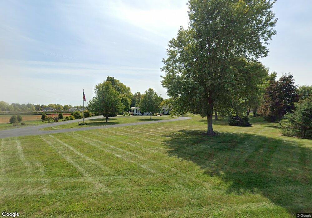
4893 E 191st St Westfield, IN 46062
West Noblesville NeighborhoodEstimated Value: $343,000 - $497,000
3
Beds
2
Baths
1,834
Sq Ft
$222/Sq Ft
Est. Value
About This Home
This home is located at 4893 E 191st St, Westfield, IN 46062 and is currently estimated at $407,784, approximately $222 per square foot. 4893 E 191st St is a home located in Hamilton County with nearby schools including Hazel Dell Elementary School, Noblesville West Middle School, and Noblesville High School.
Ownership History
Date
Name
Owned For
Owner Type
Purchase Details
Closed on
May 1, 2002
Sold by
Noe Norma R
Bought by
Quails Kenneth W and Quails Deborah K
Current Estimated Value
Home Financials for this Owner
Home Financials are based on the most recent Mortgage that was taken out on this home.
Original Mortgage
$70,000
Interest Rate
7.24%
Mortgage Type
Purchase Money Mortgage
Purchase Details
Closed on
Jul 18, 2001
Sold by
Noe George H and Noe Norma R
Bought by
The Norma R Noe Revocable Living Trust
Create a Home Valuation Report for This Property
The Home Valuation Report is an in-depth analysis detailing your home's value as well as a comparison with similar homes in the area
Home Values in the Area
Average Home Value in this Area
Purchase History
| Date | Buyer | Sale Price | Title Company |
|---|---|---|---|
| Quails Kenneth W | -- | -- | |
| The Norma R Noe Revocable Living Trust | -- | -- |
Source: Public Records
Mortgage History
| Date | Status | Borrower | Loan Amount |
|---|---|---|---|
| Closed | Quails Kenneth W | $70,000 |
Source: Public Records
Tax History
| Year | Tax Paid | Tax Assessment Tax Assessment Total Assessment is a certain percentage of the fair market value that is determined by local assessors to be the total taxable value of land and additions on the property. | Land | Improvement |
|---|---|---|---|---|
| 2025 | $2,944 | $288,700 | $103,600 | $185,100 |
| 2024 | $2,885 | $282,500 | $96,700 | $185,800 |
| 2023 | $2,900 | $282,700 | $96,700 | $186,000 |
| 2022 | $2,706 | $249,000 | $96,700 | $152,300 |
| 2021 | $2,426 | $220,800 | $96,700 | $124,100 |
| 2020 | $2,495 | $223,300 | $96,700 | $126,600 |
| 2019 | $2,248 | $203,900 | $66,300 | $137,600 |
| 2018 | $2,215 | $191,400 | $61,300 | $130,100 |
| 2017 | $2,049 | $190,200 | $61,300 | $128,900 |
| 2016 | $2,286 | $199,300 | $61,300 | $138,000 |
| 2014 | $2,285 | $188,200 | $61,300 | $126,900 |
| 2013 | $2,285 | $188,300 | $61,300 | $127,000 |
Source: Public Records
Map
Nearby Homes
- 4977 Ancer Ct
- 4964 Elaine Ct
- 4988 Elaine Ct
- 18898 Shefler Blvd
- 4946 Reavie Ct
- 18813 Stonebluff Ln
- 19405 Titus Dr
- 4463 Boyd Place
- 4300 W Fork Dr
- 18978 Stones Crossing Ln
- 18523 Grimmenstein Dr
- 4179 Hayward Way
- 18647 Goldwater Rd
- 4781 Sherlock Dr
- 3968 E 191st St
- 550 Pitney Dr
- 19460 Scofield Ridge Blvd
- 3964 E 191st St
- 4087 Railhead Ave
- 3944 E 191st St
- 4893 E 191st St
- 4829 E 191st St
- 19060 Moontown Rd
- 19038 Moontown Rd
- 19020 Moontown Rd
- 18972 Moontown Rd
- 0 Moontown Rd Unit 2953495
- 4925 E 191st St Unit 36881611
- 4925 E 191st St Unit 36881572
- 4925 E 191st St Unit 36881496
- 4925 E 191st St Unit 36881470
- 19065 Moontown Rd
- 18969 Moontown Rd
- 4940 Elaine Ct
- 4675 Hawkview Ln
- 4687 Hawkview Ln
- 4663 Hawkview Ln
- 4699 Hawkview Ln
- 4651 Hawkview Ln
- 18864 Moontown Rd
Your Personal Tour Guide
Ask me questions while you tour the home.