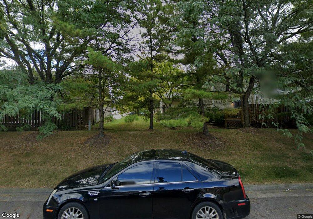
4897 Singleton Dr Hilliard, OH 43026
Cross Creek NeighborhoodEstimated Value: $192,712 - $210,000
2
Beds
1
Bath
839
Sq Ft
$236/Sq Ft
Est. Value
About This Home
This home is located at 4897 Singleton Dr, Hilliard, OH 43026 and is currently estimated at $197,928, approximately $235 per square foot. 4897 Singleton Dr is a home located in Franklin County with nearby schools including Hilliard Crossing Elementary School, Hilliard Station Sixth Grade Elementary School, and Hilliard Heritage Middle School.
Ownership History
Date
Name
Owned For
Owner Type
Purchase Details
Closed on
Mar 26, 2020
Sold by
Linkous Sharon K
Bought by
Linkous Sharon K
Current Estimated Value
Home Financials for this Owner
Home Financials are based on the most recent Mortgage that was taken out on this home.
Original Mortgage
$120,600
Outstanding Balance
$105,474
Interest Rate
3.2%
Mortgage Type
New Conventional
Estimated Equity
$92,454
Purchase Details
Closed on
Jul 29, 1994
Sold by
Mefford Floyd
Bought by
Linkous Sharon R
Home Financials for this Owner
Home Financials are based on the most recent Mortgage that was taken out on this home.
Original Mortgage
$56,600
Interest Rate
8.41%
Mortgage Type
New Conventional
Purchase Details
Closed on
Aug 13, 1990
Create a Home Valuation Report for This Property
The Home Valuation Report is an in-depth analysis detailing your home's value as well as a comparison with similar homes in the area
Home Values in the Area
Average Home Value in this Area
Purchase History
| Date | Buyer | Sale Price | Title Company |
|---|---|---|---|
| Linkous Sharon K | $134,000 | Stewart Ttl Agcy Of Cols Ltd | |
| Linkous Sharon R | $62,900 | -- | |
| -- | $56,100 | -- |
Source: Public Records
Mortgage History
| Date | Status | Borrower | Loan Amount |
|---|---|---|---|
| Open | Linkous Sharon K | $120,600 | |
| Previous Owner | Linkous Sharon R | $56,600 |
Source: Public Records
Tax History
| Year | Tax Paid | Tax Assessment Tax Assessment Total Assessment is a certain percentage of the fair market value that is determined by local assessors to be the total taxable value of land and additions on the property. | Land | Improvement |
|---|---|---|---|---|
| 2025 | $2,770 | $49,040 | $9,800 | $39,240 |
| 2024 | $2,770 | $49,040 | $9,800 | $39,240 |
| 2023 | $2,399 | $49,035 | $9,800 | $39,235 |
| 2022 | $2,618 | $42,850 | $4,590 | $38,260 |
| 2021 | $2,616 | $42,850 | $4,590 | $38,260 |
| 2020 | $2,400 | $39,420 | $4,590 | $34,830 |
| 2019 | $1,936 | $27,160 | $3,150 | $24,010 |
| 2018 | $1,829 | $27,160 | $3,150 | $24,010 |
| 2017 | $1,928 | $27,160 | $3,150 | $24,010 |
| 2016 | $1,846 | $24,090 | $3,400 | $20,690 |
| 2015 | $1,731 | $24,090 | $3,400 | $20,690 |
| 2014 | $1,734 | $24,090 | $3,400 | $20,690 |
| 2013 | $976 | $26,775 | $3,780 | $22,995 |
Source: Public Records
Map
Nearby Homes
- 5041 Singleton Dr Unit 26-A
- 5083 Singleton Dr Unit 33b
- 2962 Carlsbad Dr
- 2759 Lyndley Ct
- 5066 Ivywild Ave
- 5160 Singleton Dr Unit 43D
- 5052 Bressler Dr
- 2673 Bramble Dr
- 2505 Roberts Ct
- 5380 Carjan Way
- 5138 Roberts Rd
- 4923 Stoneybrook Blvd Unit 21F
- 3111 Castlebrook Ave
- 4997 Meadow Run Dr Unit 4997
- 4920 Meadow Run Dr Unit 4920
- 5055 Stoneybrook Blvd Unit 6E
- 2464 Meadow Glade Dr Unit 2464
- 2804 Hilliard Rome Rd
- 2477 Crystal Springs Dr
- 4967 Baycroft Dr
- 4897 Singleton Dr Unit 4D
- 4895 Singleton Dr Unit 4C
- 4893 Singleton Dr Unit 4B
- 4891 Singleton Dr Unit 4A
- 4906 Singleton Dr
- 4861 Singleton Dr Unit 2A
- 4863 Singleton Dr Unit 2B
- 4920 Singleton Dr
- 4887 Singleton Dr Unit 3D
- 4903 Singleton Dr
- 4903 Singleton Dr Unit 9B
- 4867 Singleton Dr Unit 2D
- 4904 Singleton Dr
- 4905 Singleton Dr
- 4924 Singleton Dr Unit 6B
- 4922 Singleton Dr Unit 6C
- 4865 Singleton Dr Unit 2C
- 4901 Singleton Dr Unit 9A
- 4885 Singleton Dr Unit 3C
- 4907 Singleton Dr
