48981 State Route 800 Woodsfield, OH 43793
Estimated Value: $100,000 - $286,634
Studio
1
Bath
1,440
Sq Ft
$152/Sq Ft
Est. Value
About This Home
This home is located at 48981 State Route 800, Woodsfield, OH 43793 and is currently estimated at $219,545, approximately $152 per square foot. 48981 State Route 800 is a home located in Monroe County with nearby schools including Woodsfield Elementary School, Monroe Central High School, and St Sylvester Central School.
Ownership History
Date
Name
Owned For
Owner Type
Purchase Details
Closed on
Aug 5, 2025
Sold by
Henthorn Family Trust and Henthorn Mark D
Bought by
Henthorn Mark D and Henthorn Kevin R
Current Estimated Value
Purchase Details
Closed on
Jun 8, 2017
Sold by
Henthorn Mark David and Henthorn Kevin Ray
Bought by
Henthorn Paul D and Henthorn Malinda L
Purchase Details
Closed on
May 30, 2017
Sold by
Henthorn Paul D and Henthorn Malinda
Bought by
Henthorn Malinda L and Henthorn Paul D
Purchase Details
Closed on
Apr 3, 2012
Sold by
Henthorn Malinda and Henthorn Paul D
Bought by
Henthorn Mark David and Henthorn Kevin Ray
Purchase Details
Closed on
Jun 9, 1993
Bought by
Henthorn Mark David and Kevin Ray
Create a Home Valuation Report for This Property
The Home Valuation Report is an in-depth analysis detailing your home's value as well as a comparison with similar homes in the area
Purchase History
| Date | Buyer | Sale Price | Title Company |
|---|---|---|---|
| Henthorn Mark D | -- | None Listed On Document | |
| Henthorn Paul D | $1,570,000 | None Available | |
| Henthorn Malinda L | -- | None Available | |
| Henthorn Mark David | -- | -- | |
| Henthorn Mark David | -- | -- |
Source: Public Records
Tax History
| Year | Tax Paid | Tax Assessment Tax Assessment Total Assessment is a certain percentage of the fair market value that is determined by local assessors to be the total taxable value of land and additions on the property. | Land | Improvement |
|---|---|---|---|---|
| 2025 | $97 | $3,100 | $3,100 | $0 |
| 2024 | $1,024 | $42,180 | $14,450 | $27,730 |
| 2023 | $1,024 | $42,180 | $14,450 | $27,730 |
| 2022 | $1,056 | $42,180 | $14,450 | $27,730 |
| 2021 | $967 | $38,910 | $12,650 | $26,260 |
| 2020 | $967 | $38,910 | $12,650 | $26,260 |
| 2019 | $947 | $38,860 | $12,600 | $26,260 |
| 2018 | $969 | $38,320 | $13,310 | $25,010 |
| 2017 | $973 | $38,320 | $13,310 | $25,010 |
| 2016 | $986 | $38,320 | $13,310 | $25,010 |
| 2015 | $989 | $37,080 | $14,660 | $22,420 |
| 2014 | $989 | $37,080 | $14,660 | $22,420 |
| 2013 | -- | $29,430 | $7,660 | $21,770 |
Source: Public Records
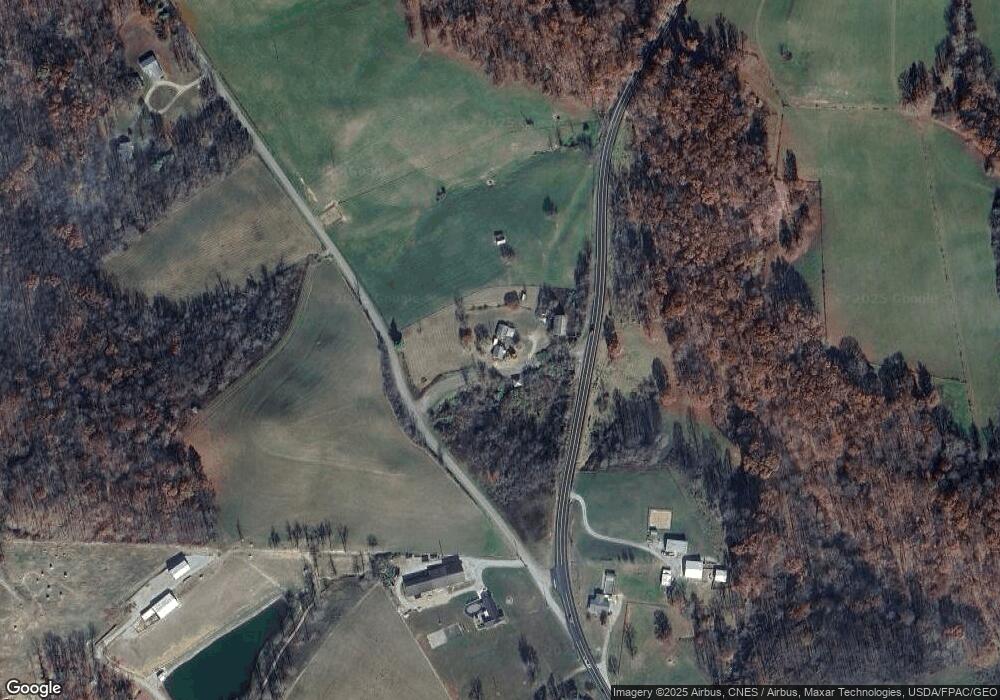
Map
Nearby Homes
- 851 Westview Dr
- 50877 Moore Ridge Rd
- 208 Center St
- 314 Devon Rd
- 108 S Paul St
- 108.5 S Paul St
- 210 E Church St
- 123 Andover Rd
- 50911 State Route 26
- 303 High St
- 333 S Main St
- 306 Monroe St
- 51650 State Route 26
- 0 Rear Township Rd Unit 5181985
- 34739 Miltonsburg Calais Rd
- V/L Miltonsburg-Calais Rd
- 0 Greenbank Rd Unit 5181950
- 44952 Moose Ridge Rd
- 52388 East Dr
- 52777 Main St
- 37967 County Road 2e
- 48610 State Route 800
- 48555 State Route 800
- 37771 County Road 2e
- 37700 Township Road 35
- 48490 State Route 800
- 48467 State Route 800
- 37666 County Road 2e
- 49190 State Route 800
- 37641 County Road 2e
- 48334 State Route 800
- 49251 State Route 800
- 37570 County Road 2e
- 37574 County Road 2e
- 48313 State Route 800
- 37561 County Road 2e
- 48425 State Route 800
- 49286 State Route 800
- 49412 Patton Rd
- 49404 State Route 800
Your Personal Tour Guide
Ask me questions while you tour the home.