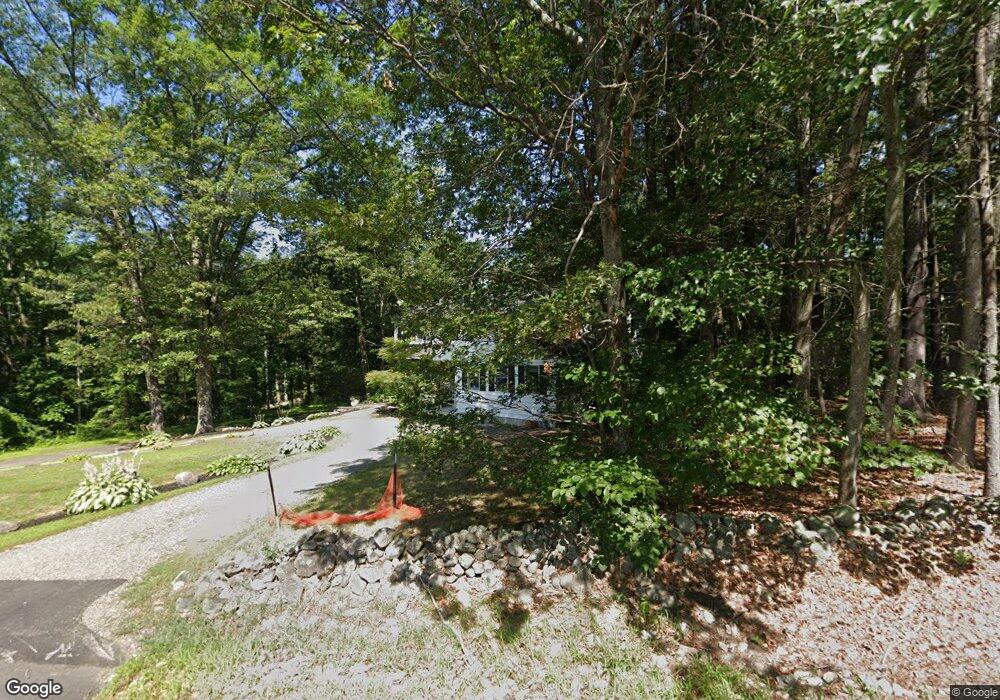
48A Howe Ln Hollis, NH 03049
Hollis NeighborhoodEstimated Value: $1,080,000 - $1,215,000
5
Beds
5
Baths
3,832
Sq Ft
$295/Sq Ft
Est. Value
About This Home
This home is located at 48A Howe Ln, Hollis, NH 03049 and is currently estimated at $1,131,833, approximately $295 per square foot. 48A Howe Ln is a home with nearby schools including Hollis Primary School, Hollis Upper Elementary School, and Hollis-Brookline Middle School.
Ownership History
Date
Name
Owned For
Owner Type
Purchase Details
Closed on
Feb 23, 2021
Sold by
Mack Ft
Bought by
Myers Kurt A and Myers Katie A
Current Estimated Value
Home Financials for this Owner
Home Financials are based on the most recent Mortgage that was taken out on this home.
Original Mortgage
$440,000
Outstanding Balance
$394,429
Interest Rate
2.7%
Mortgage Type
Purchase Money Mortgage
Estimated Equity
$737,404
Purchase Details
Closed on
Feb 5, 2020
Sold by
Mack William and Mack Linda
Bought by
Mack Ft
Purchase Details
Closed on
Jun 25, 2002
Sold by
Costello M Patrick
Bought by
Mack William J and Mack Linda A
Home Financials for this Owner
Home Financials are based on the most recent Mortgage that was taken out on this home.
Original Mortgage
$224,910
Interest Rate
6.81%
Create a Home Valuation Report for This Property
The Home Valuation Report is an in-depth analysis detailing your home's value as well as a comparison with similar homes in the area
Home Values in the Area
Average Home Value in this Area
Purchase History
| Date | Buyer | Sale Price | Title Company |
|---|---|---|---|
| Myers Kurt A | $690,000 | None Available | |
| Mack Ft | -- | None Available | |
| Mack William J | $249,900 | -- |
Source: Public Records
Mortgage History
| Date | Status | Borrower | Loan Amount |
|---|---|---|---|
| Open | Myers Kurt A | $440,000 | |
| Previous Owner | Mack William J | $368,000 | |
| Previous Owner | Mack William J | $360,000 | |
| Previous Owner | Mack William J | $224,910 |
Source: Public Records
Tax History Compared to Growth
Tax History
| Year | Tax Paid | Tax Assessment Tax Assessment Total Assessment is a certain percentage of the fair market value that is determined by local assessors to be the total taxable value of land and additions on the property. | Land | Improvement |
|---|---|---|---|---|
| 2024 | $15,496 | $874,000 | $277,800 | $596,200 |
| 2023 | $14,561 | $874,000 | $277,800 | $596,200 |
| 2022 | $19,726 | $874,000 | $277,800 | $596,200 |
| 2021 | $10,136 | $446,500 | $165,400 | $281,100 |
| 2020 | $10,350 | $446,500 | $165,400 | $281,100 |
| 2019 | $10,314 | $446,500 | $165,400 | $281,100 |
| 2018 | $9,676 | $446,500 | $165,400 | $281,100 |
| 2017 | $9,665 | $417,500 | $145,400 | $272,100 |
| 2016 | $9,782 | $417,500 | $145,400 | $272,100 |
| 2015 | $9,611 | $417,500 | $145,400 | $272,100 |
| 2014 | $9,657 | $417,500 | $145,400 | $272,100 |
| 2013 | $9,527 | $417,500 | $145,400 | $272,100 |
Source: Public Records
Map
Nearby Homes
- 22 Cathedral Cir
- 14 Parrish Hill Dr
- 334 Broad St
- 199 Pine Hill Rd
- 6 Cornwall Ln Unit 7
- 3 Richmond St
- 4 Brick Manor Dr
- 4 Nelson St
- 28 Bartemus Trail Unit U210
- 80 Bartemus Trail Unit U229
- 27 Country Hill Rd Unit U90
- 4 Jared Cir Unit U21
- 11 Bartemus Trail Unit 204
- 5 Chatfield Dr Unit U18
- 17 Dunbarton Dr
- 1 Dunbarton Dr
- 8 Pilgrim Cir
- 10 Pilgrim Cir
- 38 Dianne St
- 2 Sycamore Ln