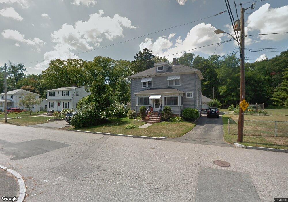
49 Adele Rd Quincy, MA 02169
Estimated Value: $718,246 - $802,000
4
Beds
1
Bath
99,999
Sq Ft
$8/Sq Ft
Est. Value
About This Home
This home is located at 49 Adele Rd, Quincy, MA 02169 and is currently estimated at $751,062, approximately $7 per square foot. 49 Adele Rd is a home located in Norfolk County with nearby schools including South West Middle School, Lincoln-Hancock Community School, and Quincy High School.
Ownership History
Date
Name
Owned For
Owner Type
Purchase Details
Closed on
Jun 4, 2015
Sold by
Prioli Andrew V
Bought by
Andrew V Prioli Irt
Current Estimated Value
Purchase Details
Closed on
Apr 30, 2008
Sold by
Girdzus John P
Bought by
Keaveny Louann and Keaveny Michael
Create a Home Valuation Report for This Property
The Home Valuation Report is an in-depth analysis detailing your home's value as well as a comparison with similar homes in the area
Purchase History
| Date | Buyer | Sale Price | Title Company |
|---|---|---|---|
| Andrew V Prioli Irt | -- | -- | |
| Keaveny Louann | $17,500 | -- |
Source: Public Records
Tax History
| Year | Tax Paid | Tax Assessment Tax Assessment Total Assessment is a certain percentage of the fair market value that is determined by local assessors to be the total taxable value of land and additions on the property. | Land | Improvement |
|---|---|---|---|---|
| 2025 | $7,473 | $648,100 | $313,700 | $334,400 |
| 2024 | $7,048 | $625,400 | $298,900 | $326,500 |
| 2023 | $6,512 | $585,100 | $284,800 | $300,300 |
| 2022 | $6,089 | $508,300 | $228,100 | $280,200 |
| 2021 | $6,048 | $498,200 | $228,100 | $270,100 |
| 2020 | $5,884 | $473,400 | $228,100 | $245,300 |
| 2019 | $5,718 | $455,600 | $221,600 | $234,000 |
| 2018 | $5,628 | $421,900 | $205,300 | $216,600 |
| 2017 | $5,557 | $392,200 | $195,600 | $196,600 |
| 2016 | $5,180 | $360,700 | $178,000 | $182,700 |
| 2015 | $4,901 | $335,700 | $168,000 | $167,700 |
| 2014 | $4,776 | $321,400 | $168,000 | $153,400 |
Source: Public Records
Map
Nearby Homes
- 510 Willard St
- 459 Willard St Unit 303
- 9 Westford St
- 25 McDonald St
- 87 Village Dr
- 211 Copeland St
- 51 Branch St Unit 2
- 51 Branch St Unit 3
- 132 Centre St
- 40 Cross St Unit 1
- 39 Cross St
- 21 Totman St Unit 205
- 21 Totman St Unit 404
- 21 Totman St Unit 309
- 21 Totman St Unit 409
- 21 Totman St Unit 203
- 21 Totman St Unit 301
- 21 Totman St Unit PH-405
- 21 Totman St Unit PH-401
- 21 Totman St Unit 407
Your Personal Tour Guide
Ask me questions while you tour the home.