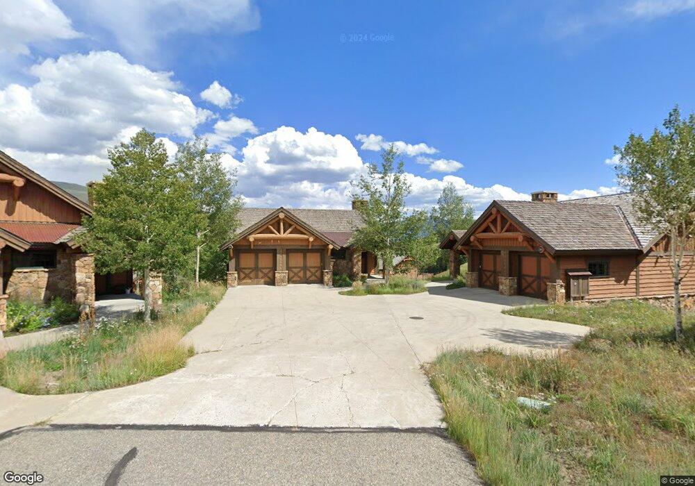
49 Appaloosa Rd Crested Butte, CO 81224
Estimated Value: $257,043 - $373,000
--
Bed
--
Bath
--
Sq Ft
7,405
Sq Ft Lot
About This Home
This home is located at 49 Appaloosa Rd, Crested Butte, CO 81224 and is currently estimated at $315,022. 49 Appaloosa Rd is a home located in Gunnison County with nearby schools including Gunnison Elementary School, Crested Butte Community School, and Gunnison Middle School.
Ownership History
Date
Name
Owned For
Owner Type
Purchase Details
Closed on
Jan 10, 2024
Sold by
Moebius Daniel Alexander
Bought by
Still Family Trust
Current Estimated Value
Purchase Details
Closed on
Jun 6, 2018
Sold by
Buckhorn Ranch At Crested Butte Llc
Bought by
Hensley James Pateon and Hensley Erin
Purchase Details
Closed on
Jun 1, 2018
Sold by
Buckhorn Ranch At Crested Butte Llc
Bought by
Waldron Melissa and Waldron Travis
Purchase Details
Closed on
May 31, 2018
Sold by
Buckhorn Ranch At Crested Butte Llc
Bought by
Moebius Daniel Alexander
Create a Home Valuation Report for This Property
The Home Valuation Report is an in-depth analysis detailing your home's value as well as a comparison with similar homes in the area
Home Values in the Area
Average Home Value in this Area
Purchase History
| Date | Buyer | Sale Price | Title Company |
|---|---|---|---|
| Still Family Trust | $240,000 | Land Title | |
| Hensley James Pateon | $56,905 | Stewart Title | |
| Waldron Melissa | $61,665 | Stewart Title | |
| Moebius Daniel Alexander | $75,905 | Stewart Title |
Source: Public Records
Tax History Compared to Growth
Tax History
| Year | Tax Paid | Tax Assessment Tax Assessment Total Assessment is a certain percentage of the fair market value that is determined by local assessors to be the total taxable value of land and additions on the property. | Land | Improvement |
|---|---|---|---|---|
| 2024 | $4,434 | $71,870 | $71,870 | $0 |
| 2023 | $4,434 | $89,840 | $89,840 | $0 |
| 2022 | $2,138 | $30,600 | $30,600 | $0 |
| 2021 | $1,850 | $30,600 | $30,600 | $0 |
| 2020 | $1,317 | $22,020 | $22,020 | $0 |
| 2019 | $450 | $7,680 | $7,680 | $0 |
| 2018 | $238 | $3,890 | $3,890 | $0 |
| 2017 | $241 | $3,890 | $3,890 | $0 |
| 2016 | $171 | $2,940 | $2,940 | $0 |
| 2015 | $183 | $2,940 | $2,940 | $0 |
| 2014 | $183 | $2,990 | $2,990 | $0 |
Source: Public Records
Map
Nearby Homes
- 35 Appaloosa Ln
- 56 Bridle Spur Way
- 34 Appaloosa Ln
- 720 S Avion Dr
- 84 Chestnut Ln
- 97 Chestnut Ln
- 679 S Avion Dr
- 96 Chestnut Ln
- 114 Chestnut Ln
- 77 Coyote Ridge Rd
- 527 S Avion Dr
- 554 White Stallion Cir
- 528 White Stallion Cir
- 470 White Stallion Cir
- 441 White Stallion Cir
- 333 S Avion Dr
- 379 S Avion Dr
- 49 White Stallion Cir
- 83 White Stallion Cir
- 509 N Avion Dr
- 49 Appaloosa Ln
- 61 Appaloosa Ln
- 61 Appaloosa Rd
- 35 Appaloosa Rd
- 42 Bridle Spur Way
- 30 Bridle Spur Way
- 72 Appaloosa Ln
- 21 Appaloosa Ln
- 44 Appaloosa Ln
- 65 Appaloosa Rd
- 0 Appaloosa Ln Unit 768566
- 0 Appaloosa Ln Unit 754260
- 0 Appaloosa Ln Unit 740251
- 0 Appaloosa Ln Unit 738835
- 0 Appaloosa Ln Unit 3085
- 0 Appaloosa Ln Unit 3159
- 0 Appaloosa Ln Unit 3158
- 0 Appaloosa Ln Unit 3157
- 0 Appaloosa Ln Unit 723203
- 0 Appaloosa Ln Unit 732182