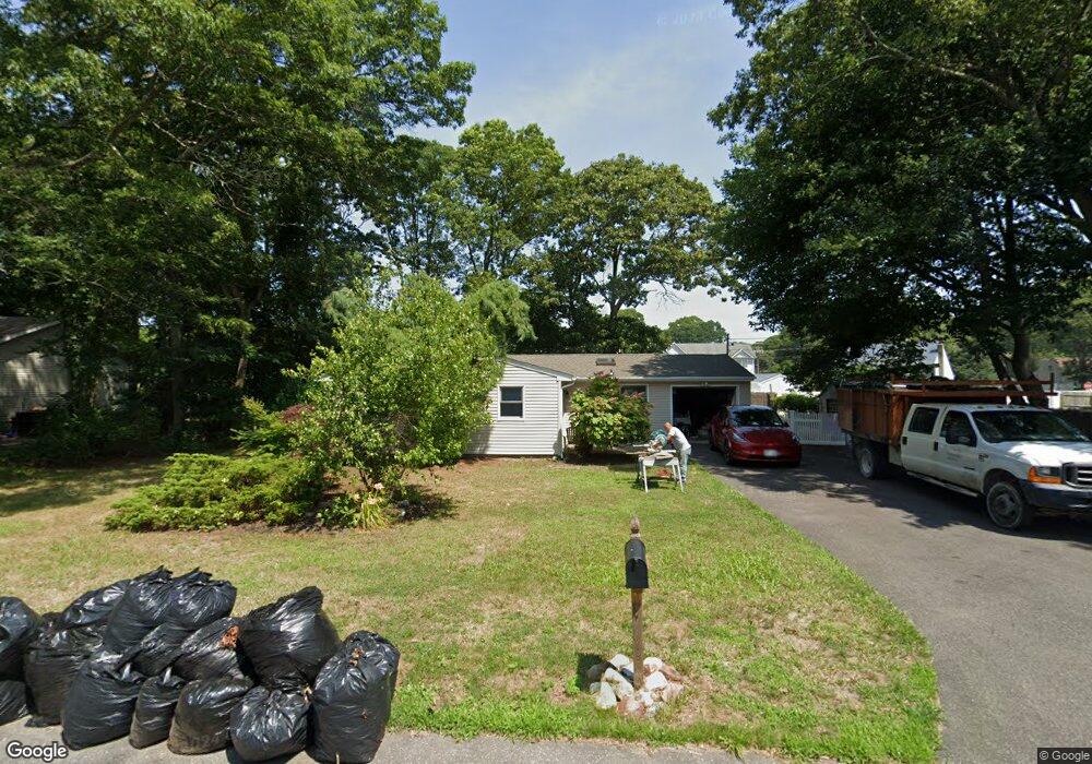
49 Arrowhead Dr Shirley, NY 11967
Estimated Value: $493,000 - $535,000
4
Beds
2
Baths
1,150
Sq Ft
$449/Sq Ft
Est. Value
About This Home
This home is located at 49 Arrowhead Dr, Shirley, NY 11967 and is currently estimated at $516,544, approximately $449 per square foot. 49 Arrowhead Dr is a home located in Suffolk County with nearby schools including William Floyd Elementary School, William Floyd Middle School, and William Floyd High School.
Ownership History
Date
Name
Owned For
Owner Type
Purchase Details
Closed on
Feb 27, 2014
Sold by
Federal Home Loan Mortgage Corporation
Bought by
Zitzelberger Christine
Current Estimated Value
Purchase Details
Closed on
Oct 31, 2013
Sold by
Murphy Esq Daniel J and Allred Michael J
Bought by
Federal Home Loan Mortgage Corp
Purchase Details
Closed on
Dec 20, 2007
Sold by
Phelps Michael E
Bought by
Alfred Michael J
Purchase Details
Closed on
Aug 7, 2002
Sold by
Joseph Paul C and Joseph Joanne
Bought by
Phelps Michael E and Phelps Joanne
Home Financials for this Owner
Home Financials are based on the most recent Mortgage that was taken out on this home.
Original Mortgage
$40,000
Interest Rate
6.57%
Mortgage Type
Purchase Money Mortgage
Create a Home Valuation Report for This Property
The Home Valuation Report is an in-depth analysis detailing your home's value as well as a comparison with similar homes in the area
Home Values in the Area
Average Home Value in this Area
Purchase History
| Date | Buyer | Sale Price | Title Company |
|---|---|---|---|
| Zitzelberger Christine | $126,000 | -- | |
| Federal Home Loan Mortgage Corp | -- | Web Title | |
| Alfred Michael J | $275,000 | Mark Piccirillo | |
| Phelps Michael E | $195,500 | Chicago Title Insurance Co |
Source: Public Records
Mortgage History
| Date | Status | Borrower | Loan Amount |
|---|---|---|---|
| Previous Owner | Phelps Michael E | $40,000 |
Source: Public Records
Tax History
| Year | Tax Paid | Tax Assessment Tax Assessment Total Assessment is a certain percentage of the fair market value that is determined by local assessors to be the total taxable value of land and additions on the property. | Land | Improvement |
|---|---|---|---|---|
| 2024 | $7,901 | $1,880 | $200 | $1,680 |
| 2023 | $7,901 | $1,880 | $200 | $1,680 |
| 2022 | $8,721 | $1,880 | $200 | $1,680 |
| 2021 | $8,721 | $1,880 | $200 | $1,680 |
| 2020 | $8,891 | $1,880 | $200 | $1,680 |
| 2019 | $8,891 | $0 | $0 | $0 |
| 2018 | $8,565 | $1,880 | $200 | $1,680 |
| 2017 | $8,565 | $1,880 | $200 | $1,680 |
| 2016 | $8,553 | $1,880 | $200 | $1,680 |
| 2015 | -- | $1,880 | $200 | $1,680 |
| 2014 | -- | $1,840 | $200 | $1,640 |
Source: Public Records
Map
Nearby Homes
- 45 Arrowhead Dr
- 34 Pinetop Dr
- 32 Rockledge Dr
- 32 Flintlock Dr
- 36 Musket Dr
- 36 Flintlock Dr
- 36 Happy Acres Dr
- 19 Windus Dr
- 490 William Floyd Pkwy
- 8 Park Cir
- 498 A William Floyd Pkwy
- 2 Pinetop Dr
- 53 Hounslow Rd
- 21 Lama Dr
- Vacant Lot The Green
- VL - (Sec 937 Lot 14 The Green
- 33 Loughlin Dr
- 118 Lexington Rd
- 321 Smith Rd
- 65 Essex Cir