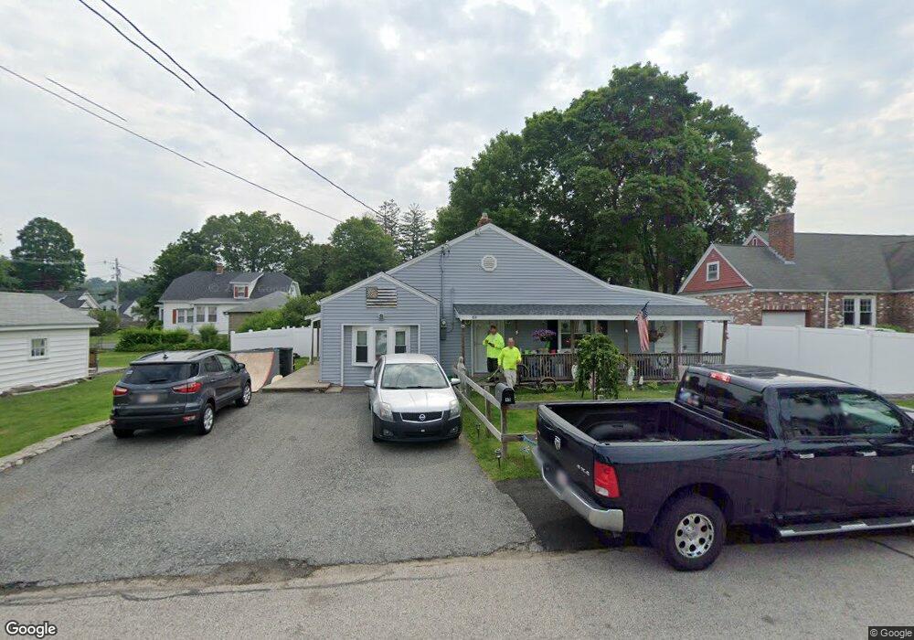
49 Bailey Rd Shrewsbury, MA 01545
Estimated Value: $578,000 - $589,981
2
Beds
2
Baths
1,820
Sq Ft
$320/Sq Ft
Est. Value
About This Home
This home is located at 49 Bailey Rd, Shrewsbury, MA 01545 and is currently estimated at $582,245, approximately $319 per square foot. 49 Bailey Rd is a home located in Worcester County with nearby schools including Sherwood Middle School, Calvin Coolidge Elementary School, and Oak Middle School.
Ownership History
Date
Name
Owned For
Owner Type
Purchase Details
Closed on
Aug 20, 2004
Sold by
Spaulding Jeannine M and Mero Mark
Bought by
Spaulding Jeannine M
Current Estimated Value
Home Financials for this Owner
Home Financials are based on the most recent Mortgage that was taken out on this home.
Original Mortgage
$296,000
Outstanding Balance
$147,075
Interest Rate
6.03%
Mortgage Type
Purchase Money Mortgage
Estimated Equity
$435,170
Purchase Details
Closed on
Jan 26, 1996
Sold by
Coutu Kathleen
Bought by
Whittemore Jeannine M
Create a Home Valuation Report for This Property
The Home Valuation Report is an in-depth analysis detailing your home's value as well as a comparison with similar homes in the area
Home Values in the Area
Average Home Value in this Area
Purchase History
| Date | Buyer | Sale Price | Title Company |
|---|---|---|---|
| Spaulding Jeannine M | -- | -- | |
| Spaulding Jeannine M | -- | -- | |
| Spaulding Jeannine M | -- | -- | |
| Whittemore Jeannine M | $95,000 | -- | |
| Whittemore Jeannine M | $95,000 | -- |
Source: Public Records
Mortgage History
| Date | Status | Borrower | Loan Amount |
|---|---|---|---|
| Open | Spaulding Jeannine M | $296,000 | |
| Closed | Spaulding Jeannine M | $296,000 |
Source: Public Records
Tax History Compared to Growth
Tax History
| Year | Tax Paid | Tax Assessment Tax Assessment Total Assessment is a certain percentage of the fair market value that is determined by local assessors to be the total taxable value of land and additions on the property. | Land | Improvement |
|---|---|---|---|---|
| 2025 | $5,582 | $463,600 | $200,000 | $263,600 |
| 2024 | $5,058 | $408,600 | $190,500 | $218,100 |
| 2023 | $5,028 | $383,200 | $190,500 | $192,700 |
| 2022 | $4,852 | $343,900 | $169,100 | $174,800 |
| 2021 | $4,260 | $323,000 | $160,200 | $162,800 |
| 2020 | $3,916 | $314,000 | $160,200 | $153,800 |
| 2019 | $3,802 | $302,500 | $154,400 | $148,100 |
| 2018 | $3,612 | $285,300 | $140,500 | $144,800 |
| 2017 | $3,463 | $269,900 | $125,100 | $144,800 |
| 2016 | $3,416 | $262,800 | $118,000 | $144,800 |
| 2015 | $3,460 | $262,100 | $110,600 | $151,500 |
Source: Public Records
Map
Nearby Homes
- 10 Gleason Rd
- 26 Browne Rd
- 6 Selina St
- 315 Maple Ave
- 40 Shrewsbury Green Dr Unit A
- 175 Oak St
- 22 Shrewsbury Green Dr Unit C
- 26 Williamsburg Ct Unit 22
- 20 Williamsburg Ct Unit 21
- 73 S Quinsigamond Ave
- 76 Hillside Dr
- 46 N Quinsigamond Ave
- 40 Phillips Ave
- 7 Tern Dr
- 15 Eagle Dr
- 105 S Quinsigamond Ave
- 67 N Quinsigamond Ave Unit 23
- 43 Harriet Ave
- 31 Oak St
- 5 Fyrbeck Ave