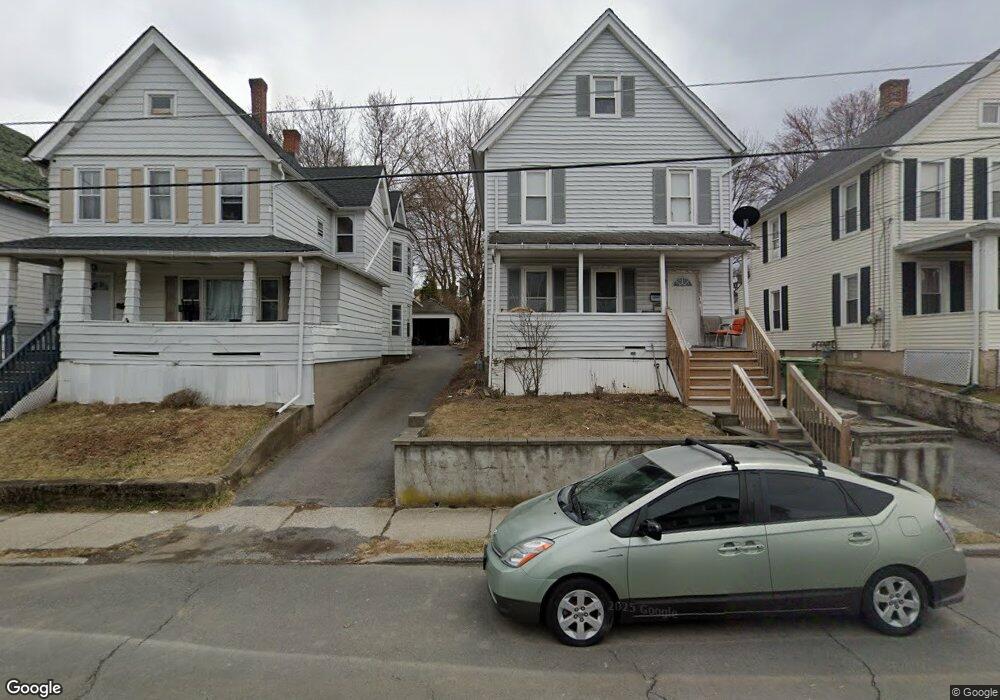
49 Broad St Unit 2 Middletown, NY 10940
Estimated Value: $289,405 - $390,000
About This Home
This home is located at 49 Broad St Unit 2, Middletown, NY 10940 and is currently estimated at $332,851, approximately $540 per square foot. 49 Broad St Unit 2 is a home located in Orange County with nearby schools including William A. Carter School, Middletown Twin Towers Middle School, and Monhagen Middle School.
Ownership History
We collect this data history from publicly available records. To have your information removed, we recommend requesting removal directly through your county’s website.
Purchase Details
Purchase Details
Purchase Details
Purchase Details
Purchase Details
Home Values in the Area
Average Home Value in this Area
Purchase History
We collect this data history from publicly available records. To have your information removed, we recommend requesting removal directly through your county’s website.
| Date | Buyer | Sale Price | Title Company |
|---|---|---|---|
| -- | Emily Cajigas | ||
| $96,900 | Emily Cajigas | ||
| $188,765 | J. Eric Charlton | ||
| $199,820 | Victor Guzman | ||
| -- | Thomas J. Darcy |
Tax History
We collect this data history from publicly available records. To have your information removed, we recommend requesting removal directly through your county’s website.
| Year | Tax Paid | Tax Assessment Tax Assessment Total Assessment is a certain percentage of the fair market value that is determined by local assessors to be the total taxable value of land and additions on the property. | Land | Improvement |
|---|---|---|---|---|
| 2025 | $4,859 | $17,500 | $4,700 | $12,800 |
| 2024 | $4,804 | $17,500 | $4,700 | $12,800 |
| 2023 | $4,804 | $17,500 | $4,700 | $12,800 |
| 2022 | $4,705 | $17,500 | $4,700 | $12,800 |
| 2021 | $4,950 | $17,500 | $4,700 | $12,800 |
| 2020 | $2,027 | $17,500 | $4,700 | $12,800 |
| 2019 | $1,972 | $17,500 | $4,700 | $12,800 |
| 2018 | $4,701 | $17,500 | $4,700 | $12,800 |
| 2017 | $4,558 | $17,500 | $4,700 | $12,800 |
| 2016 | $4,570 | $17,500 | $4,700 | $12,800 |
| 2015 | -- | $17,500 | $4,700 | $12,800 |
| 2014 | -- | $17,500 | $4,700 | $12,800 |
Map
- 80 Beattie Ave
- 120 Prospect Ave
- 4 Lincoln St
- 13 Forest Ave
- 309-317 E Main St Unit 309
- 26 Ridge St
- 80 Prospect Ave
- 17 Blanchard St
- 19 Magnolia Park Rd
- 5-7 Blanchard St
- 15 Anthony St
- 13 Benton Ave
- 28 Magnolia Park Rd
- 60 Magnolia Park Rd
- 8 Grant St
- 196 Cottage St
- 47 Carpenter Ave
- 103 Linden Ave Unit 4
- 138-1/2 Linden Ave
- 80 Excelsior Ave
Ask me questions while you tour the home.