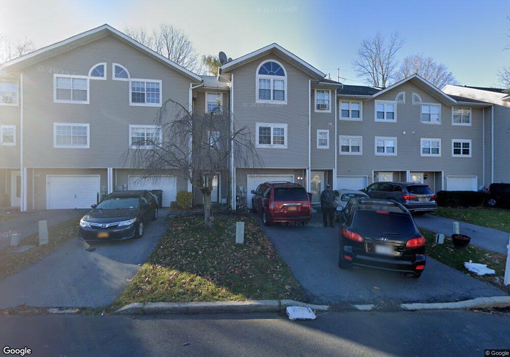
49 Brookside Dr W Harriman, NY 10926
Estimated Value: $387,406 - $439,000
3
Beds
3
Baths
1,588
Sq Ft
$261/Sq Ft
Est. Value
About This Home
This home is located at 49 Brookside Dr W, Harriman, NY 10926 and is currently estimated at $413,852, approximately $260 per square foot. 49 Brookside Dr W is a home located in Orange County with nearby schools including Monroe-Woodbury Middle School, Monroe-Woodbury High School, and Sheri Torah - V'Yoel Moshe.
Ownership History
Date
Name
Owned For
Owner Type
Purchase Details
Closed on
Sep 13, 2002
Sold by
Cendant Mobility Financial Corp
Bought by
Moore Tami E
Current Estimated Value
Home Financials for this Owner
Home Financials are based on the most recent Mortgage that was taken out on this home.
Original Mortgage
$153,600
Outstanding Balance
$61,865
Interest Rate
5.75%
Mortgage Type
Purchase Money Mortgage
Estimated Equity
$351,987
Purchase Details
Closed on
Jul 31, 2002
Sold by
Dodi John M and Dodi Elaina R
Bought by
Cendant Mobility Financial Corp
Home Financials for this Owner
Home Financials are based on the most recent Mortgage that was taken out on this home.
Original Mortgage
$153,600
Outstanding Balance
$61,865
Interest Rate
5.75%
Mortgage Type
Purchase Money Mortgage
Estimated Equity
$351,987
Purchase Details
Closed on
Oct 28, 1997
Sold by
Dodi John M
Bought by
Dodi John M and Dodi Elaina R
Create a Home Valuation Report for This Property
The Home Valuation Report is an in-depth analysis detailing your home's value as well as a comparison with similar homes in the area
Home Values in the Area
Average Home Value in this Area
Purchase History
| Date | Buyer | Sale Price | Title Company |
|---|---|---|---|
| Moore Tami E | $203,000 | -- | |
| Cendant Mobility Financial Corp | $203,000 | -- | |
| Dodi John M | -- | -- |
Source: Public Records
Mortgage History
| Date | Status | Borrower | Loan Amount |
|---|---|---|---|
| Open | Moore Tami E | $153,600 | |
| Previous Owner | Cendant Mobility Financial Corp | $153,600 |
Source: Public Records
Tax History Compared to Growth
Tax History
| Year | Tax Paid | Tax Assessment Tax Assessment Total Assessment is a certain percentage of the fair market value that is determined by local assessors to be the total taxable value of land and additions on the property. | Land | Improvement |
|---|---|---|---|---|
| 2024 | $8,739 | $81,200 | $8,000 | $73,200 |
| 2023 | $8,739 | $81,200 | $8,000 | $73,200 |
| 2022 | $9,144 | $81,200 | $8,000 | $73,200 |
| 2021 | $9,060 | $81,200 | $8,000 | $73,200 |
| 2020 | $8,837 | $81,200 | $8,000 | $73,200 |
| 2019 | $8,432 | $81,200 | $8,000 | $73,200 |
| 2018 | $8,432 | $81,200 | $8,000 | $73,200 |
| 2017 | $7,573 | $81,200 | $8,000 | $73,200 |
| 2016 | $7,847 | $81,200 | $8,000 | $73,200 |
| 2015 | -- | $81,200 | $8,000 | $73,200 |
| 2014 | -- | $81,200 | $8,000 | $73,200 |
Source: Public Records
Map
Nearby Homes
- 9 Melody Ln
- 12 Case Ct
- 5 Case Ct
- 3 Webster Ct
- 8 Haight Rd
- 22 Ford Ct
- 87 Barr Ln
- 18 Pullman Route
- 12 Edgewood Dr
- 1 Heritage Dr Unit 1 H
- 2 Fawn Ridge Ct
- 26 Lexington Hill Unit 1
- 9 Heritage Dr Unit B
- 8 Heritage Dr Unit A
- 5 Heritage Dr Unit D
- 5 Heritage Dr Unit C
- 9 Woodland Rd
- 17 Arlington Dr
- 5 Lexington Hill Unit 3
- 34 Clark Ln
- 51 Brookside Dr W
- 47 Brookside Dr W
- 45 Brookside Dr W
- 53 Brookside Dr W
- 55 Brookside Dr W
- 57 Brookside Dr W
- 43 Brookside Dr W
- 59 Brookside Dr W
- 41 Brookside Dr W
- 39 Brookside Dr W Unit P6
- 37 Brookside Dr W
- 61 Brookside Dr W
- 46 Brookside Dr W
- 48 Brookside Dr W
- 48 Brookside Dr W Unit 48
- 35 Brookside Dr W
- 63 Brookside Dr W
- 44 Brookside Dr W
- 42 Brookside Dr W
- 50 Brookside Dr W