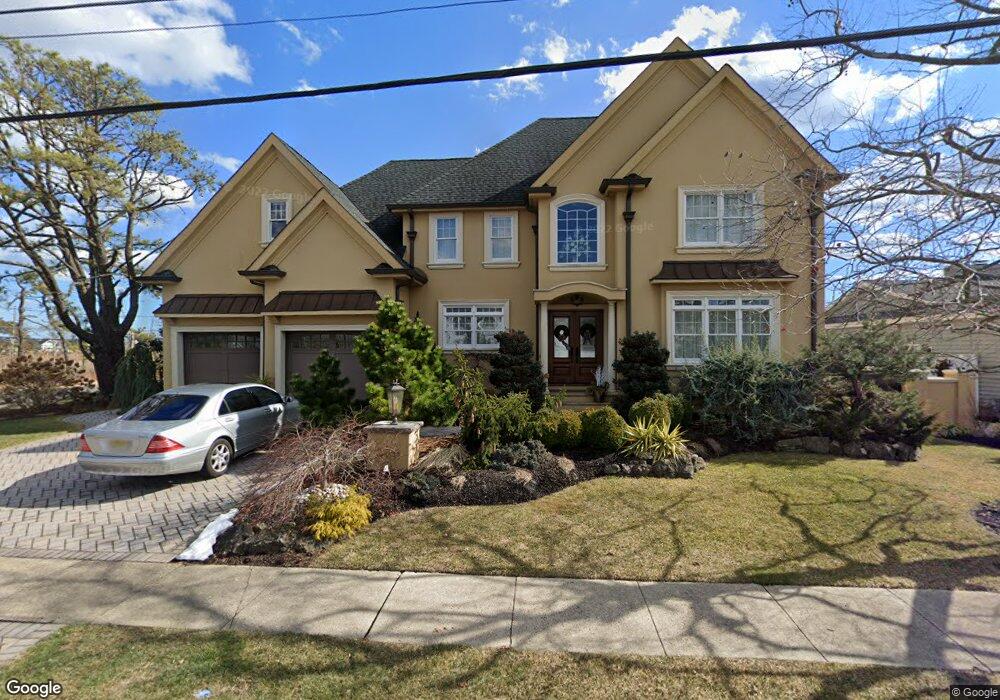
49 Clarkson Dr Toms River, NJ 08753
Estimated Value: $792,000 - $1,218,000
4
Beds
4
Baths
2,718
Sq Ft
$375/Sq Ft
Est. Value
About This Home
This home is located at 49 Clarkson Dr, Toms River, NJ 08753 and is currently estimated at $1,020,355, approximately $375 per square foot. 49 Clarkson Dr is a home located in Ocean County.
Ownership History
Date
Name
Owned For
Owner Type
Purchase Details
Closed on
Nov 12, 2024
Sold by
Mario Teixeira Qualified Personal Reside and Maria Teixeira Qualified Personal Reside
Bought by
Teixeira Mario and Teixeira Maria
Current Estimated Value
Purchase Details
Closed on
Mar 16, 2010
Sold by
Teixeira Mario and Teixeira Maria
Bought by
Teixeira Mario and Teixeira Maria
Purchase Details
Closed on
Apr 24, 2008
Sold by
Kuvin Elaine
Bought by
Teixeira Mario and Teixeira Maria
Purchase Details
Closed on
Sep 6, 1994
Sold by
Ley Leo
Bought by
Goodwin Elaine
Purchase Details
Closed on
May 27, 1994
Sold by
Applegate Edward
Bought by
Kuvin Seymour F
Create a Home Valuation Report for This Property
The Home Valuation Report is an in-depth analysis detailing your home's value as well as a comparison with similar homes in the area
Home Values in the Area
Average Home Value in this Area
Purchase History
| Date | Buyer | Sale Price | Title Company |
|---|---|---|---|
| Teixeira Mario | -- | None Listed On Document | |
| Teixeira Mario | -- | None Available | |
| Teixeira Mario | $460,000 | Acres Land Title Agency Llc | |
| Goodwin Elaine | $75,000 | -- | |
| Kuvin Seymour F | $190,000 | -- |
Source: Public Records
Tax History Compared to Growth
Tax History
| Year | Tax Paid | Tax Assessment Tax Assessment Total Assessment is a certain percentage of the fair market value that is determined by local assessors to be the total taxable value of land and additions on the property. | Land | Improvement |
|---|---|---|---|---|
| 2025 | $16,566 | $909,200 | $295,000 | $614,200 |
| 2024 | $15,738 | $909,200 | $295,000 | $614,200 |
| 2023 | $15,165 | $909,200 | $295,000 | $614,200 |
| 2022 | $15,165 | $909,200 | $295,000 | $614,200 |
| 2021 | $14,063 | $563,000 | $204,000 | $359,000 |
| 2020 | $14,002 | $563,000 | $204,000 | $359,000 |
| 2019 | $13,394 | $563,000 | $204,000 | $359,000 |
| 2018 | $13,259 | $563,000 | $204,000 | $359,000 |
| 2017 | $13,169 | $563,000 | $204,000 | $359,000 |
| 2016 | $12,859 | $563,000 | $204,000 | $359,000 |
| 2015 | $12,397 | $563,000 | $204,000 | $359,000 |
| 2014 | $11,784 | $296,200 | $204,000 | $92,200 |
Source: Public Records
Map
Nearby Homes
- 46 Clarkson Dr
- 230 Christoffer Terrace
- 35 Heather Rd
- 169 S Shore Dr
- 1201 Lighthouse Ln Unit 1fm
- 2 Cedar Tree Ln
- 6 Cedar Tree Ln
- 99 Silver Bay Rd
- 73 S Shore Dr
- 621 Waters Edge Dr Unit 21
- 1916 Waters Edge Dr Unit 16
- 1813 Waters Edge Dr
- 190 Bay Stream Dr
- 193 Bay Stream Dr
- 1214 Waters Edge Dr Unit 14
- 1850 Ensign Ct
- 133 Mello Ln
- 2517 Waters Edge Dr Unit 17
- 139 Mello Ln
- 200 Silver Bay Rd