49 Curtis Rd Boxford, MA 01921
Estimated Value: $914,156 - $1,239,000
4
Beds
3
Baths
2,756
Sq Ft
$385/Sq Ft
Est. Value
About This Home
This home is located at 49 Curtis Rd, Boxford, MA 01921 and is currently estimated at $1,061,039, approximately $384 per square foot. 49 Curtis Rd is a home located in Essex County with nearby schools including Harry Lee Cole, Spofford Pond School, and Plumfield Academy.
Ownership History
Date
Name
Owned For
Owner Type
Purchase Details
Closed on
Jun 2, 2015
Sold by
Erekson Lawrence P and Erekson Cynthia
Bought by
Lawrence P Erekson Ret
Current Estimated Value
Purchase Details
Closed on
Jun 16, 1994
Sold by
Curtis Rt and Epstein Myrna
Bought by
Erekson Lawrence P and Erekson Cynthia
Home Financials for this Owner
Home Financials are based on the most recent Mortgage that was taken out on this home.
Original Mortgage
$160,000
Interest Rate
8.5%
Mortgage Type
Purchase Money Mortgage
Create a Home Valuation Report for This Property
The Home Valuation Report is an in-depth analysis detailing your home's value as well as a comparison with similar homes in the area
Home Values in the Area
Average Home Value in this Area
Purchase History
| Date | Buyer | Sale Price | Title Company |
|---|---|---|---|
| Lawrence P Erekson Ret | -- | -- | |
| Erekson Lawrence P | $300,000 | -- |
Source: Public Records
Mortgage History
| Date | Status | Borrower | Loan Amount |
|---|---|---|---|
| Previous Owner | Erekson Lawrence P | $150,000 | |
| Previous Owner | Erekson Lawrence P | $160,000 |
Source: Public Records
Tax History
| Year | Tax Paid | Tax Assessment Tax Assessment Total Assessment is a certain percentage of the fair market value that is determined by local assessors to be the total taxable value of land and additions on the property. | Land | Improvement |
|---|---|---|---|---|
| 2025 | $11,314 | $841,200 | $419,900 | $421,300 |
| 2024 | $11,139 | $853,600 | $419,900 | $433,700 |
| 2023 | $10,409 | $752,100 | $375,100 | $377,000 |
| 2022 | $10,135 | $665,900 | $312,800 | $353,100 |
| 2021 | $9,676 | $604,400 | $284,500 | $319,900 |
| 2020 | $9,493 | $587,100 | $284,500 | $302,600 |
| 2019 | $9,304 | $571,500 | $270,800 | $300,700 |
| 2018 | $8,771 | $541,400 | $270,800 | $270,600 |
| 2017 | $8,548 | $524,100 | $258,000 | $266,100 |
| 2016 | $8,274 | $502,700 | $258,000 | $244,700 |
| 2015 | $7,813 | $488,600 | $258,000 | $230,600 |
Source: Public Records
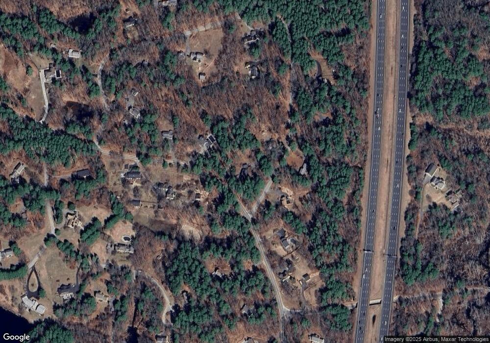
Map
Nearby Homes
- 40 Curtis Rd
- 34 Wildmeadow Rd
- 20-B Wildmeadow Rd
- 37 Moonpenny Dr
- 18 Boxford Rd
- 30 Surrey Ln
- 3 Antoria Way
- 5 Comstock Ln
- 3 Warren Dr
- 180 Rowley Bridge Rd
- 85 Townsend Farm Rd
- 207 Rowley Bridge Rd
- 244 Rowley Bridge Rd
- 36 Village Rd Unit 506
- 38 Village Rd Unit 515
- 19 Bridle Spur Ln
- 35 East St
- 40 Village Rd Unit 1210
- 40 Village Rd Unit 1006
- 146 Ipswich Rd
- 45 Curtis Rd
- 258 Middleton Rd
- 44 Curtis Rd
- 249B Middleton Rd
- 50 Curtis Rd
- 252 Middleton Rd
- 35 Curtis Rd
- 270 Middleton Rd
- 249A Middleton Rd
- 34 Curtis Rd
- 249 Middleton Rd
- 249 Middleton Rd Unit B
- 273 Middleton Rd
- 3 Curtis Rd
- 19 Curtis Rd
- 274 Middleton Rd
- 25 Curtis Rd
- 7 Curtis Rd
- 16 Holmes Rd
- 279 Middleton Rd
Your Personal Tour Guide
Ask me questions while you tour the home.