49 Curtis Rd Boxford, MA 01921
Boxford AreaEstimated Value: $1,020,412 - $1,397,000
About This Home
This home is located at 49 Curtis Rd, Boxford, MA 01921 and is currently estimated at $1,171,603, approximately $425 per square foot. 49 Curtis Rd is a home located in Essex County with nearby schools including Harry Lee Cole, Spofford Pond School, and Plumfield Academy.
Ownership History
We collect this data history from publicly available records. To have your information removed, we recommend requesting removal directly through your county’s website.
Purchase Details
Purchase Details
Home Values in the Area
Average Home Value in this Area
Purchase History
We collect this data history from publicly available records. To have your information removed, we recommend requesting removal directly through your county’s website.
| Date | Buyer | Sale Price | Title Company |
|---|---|---|---|
| -- | -- | ||
| $300,000 | -- |
Mortgage History
We collect this data history from publicly available records. To have your information removed, we recommend requesting removal directly through your county’s website.
| Date | Status | Borrower | Loan Amount |
|---|---|---|---|
| Previous Owner | $150,000 |
Tax History
We collect this data history from publicly available records. To have your information removed, we recommend requesting removal directly through your county’s website.
| Year | Tax Paid | Tax Assessment Tax Assessment Total Assessment is a certain percentage of the fair market value that is determined by local assessors to be the total taxable value of land and additions on the property. | Land | Improvement |
|---|---|---|---|---|
| 2025 | $11,314 | $841,200 | $419,900 | $421,300 |
| 2024 | $11,139 | $853,600 | $419,900 | $433,700 |
| 2023 | $10,409 | $752,100 | $375,100 | $377,000 |
| 2022 | $10,135 | $665,900 | $312,800 | $353,100 |
| 2021 | $9,676 | $604,400 | $284,500 | $319,900 |
| 2020 | $9,493 | $587,100 | $284,500 | $302,600 |
| 2019 | $9,304 | $571,500 | $270,800 | $300,700 |
| 2018 | $8,771 | $541,400 | $270,800 | $270,600 |
| 2017 | $8,548 | $524,100 | $258,000 | $266,100 |
| 2016 | $8,274 | $502,700 | $258,000 | $244,700 |
| 2015 | $7,813 | $488,600 | $258,000 | $230,600 |
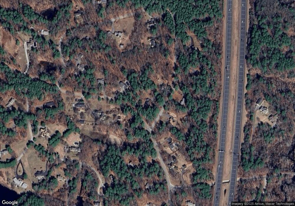
Map
- 7 Fuller Ln
- 20-B Wildmeadow Rd
- 188 Washington St
- 8 Millbrook Ln
- 15 Lockwood Ln
- 25 Haymeadow Rd
- 82 River Rd
- 39 Joseph Smith Way
- 42 Grove St
- 37 Colrain Rd
- 2 Pinehurst Dr
- 73 Parsonage Ln
- 3 Summer St Unit 2
- 147 Bare Hill Rd
- lot 12 39 E Meadow Ln
- lot 10 42 E Meadow Ln
- lot 11 38 E Meadow Ln
- 116 Hill St
- 15 Elm St
- lot 19 30 SiMcHa Rd
- 45 Curtis Rd
- 258 Middleton Rd
- 44 Curtis Rd
- 249B Middleton Rd
- 50 Curtis Rd
- 252 Middleton Rd
- 35 Curtis Rd
- 270 Middleton Rd
- 40 Curtis Rd
- 249A Middleton Rd
- 34 Curtis Rd
- 249 Middleton Rd
- 249 Middleton Rd Unit B
- 273 Middleton Rd
- 3 Curtis Rd
- 19 Curtis Rd
- 274 Middleton Rd
- 25 Curtis Rd
- 7 Curtis Rd
- 16 Holmes Rd
Ask me questions while you tour the home.