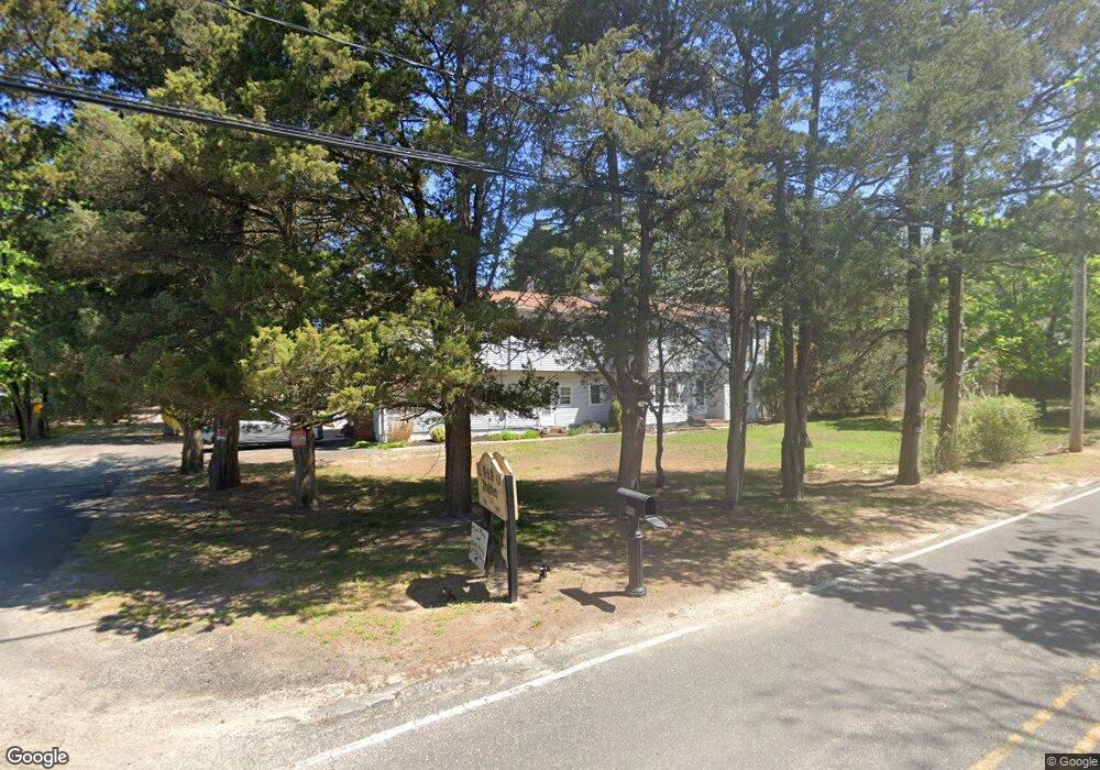
49 Driftway Rd Howell, NJ 07731
Southard NeighborhoodEstimated Value: $806,000 - $1,302,000
5
Beds
4
Baths
3,634
Sq Ft
$271/Sq Ft
Est. Value
About This Home
This home is located at 49 Driftway Rd, Howell, NJ 07731 and is currently estimated at $986,517, approximately $271 per square foot. 49 Driftway Rd is a home located in Monmouth County with nearby schools including Taunton School, Aldrich School, and Howell Township Middle School South.
Ownership History
Date
Name
Owned For
Owner Type
Purchase Details
Closed on
Apr 4, 2022
Sold by
Grippaldi Alan and Mendola Patricia
Bought by
Grippaldi Alicia
Current Estimated Value
Purchase Details
Closed on
Nov 4, 2021
Sold by
Frank Grippaldi
Bought by
Grippaldi Alan
Create a Home Valuation Report for This Property
The Home Valuation Report is an in-depth analysis detailing your home's value as well as a comparison with similar homes in the area
Home Values in the Area
Average Home Value in this Area
Purchase History
| Date | Buyer | Sale Price | Title Company |
|---|---|---|---|
| Grippaldi Alicia | -- | Leighton Jennifer A | |
| Grippaldi Alan | -- | Barrood Phillip K |
Source: Public Records
Tax History
| Year | Tax Paid | Tax Assessment Tax Assessment Total Assessment is a certain percentage of the fair market value that is determined by local assessors to be the total taxable value of land and additions on the property. | Land | Improvement |
|---|---|---|---|---|
| 2025 | $12,451 | $697,800 | $188,000 | $509,800 |
| 2024 | $12,238 | $700,300 | $199,800 | $500,500 |
Source: Public Records
Map
Nearby Homes
- 42 Brown Rd
- 57 Church Rd
- 29 Sweet Gum Rd
- 41 Sweet Gum Rd
- 47 Sweet Gum Rd
- 53 Sweet Gum Rd
- 9 Hawk Ct
- 8 Trinity Place
- 40 Brookwood Pkwy
- 3 Colorado Dr
- 284 Friendship Rd
- 23 Sami Dr
- 901 Bethel Church Rd
- 4 Cherry Tree Cir
- 44 Cherry Tree Cir
- 652 Hope Chapel Rd
- 231 Friendship Rd
- 100 Avis Ave
- 26 Oregon Ave
- 1501 Pine Park Ave
Your Personal Tour Guide
Ask me questions while you tour the home.