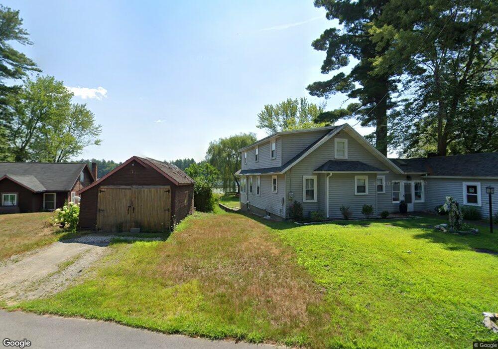
49-E Flint Pond Dr Hollis, NH 03049
Hollis NeighborhoodEstimated Value: $340,000 - $409,000
2
Beds
1
Bath
931
Sq Ft
$397/Sq Ft
Est. Value
About This Home
This home is located at 49-E Flint Pond Dr, Hollis, NH 03049 and is currently estimated at $369,167, approximately $396 per square foot. 49-E Flint Pond Dr is a home with nearby schools including Hollis Primary School, Hollis Upper Elementary School, and Hollis-Brookline Middle School.
Ownership History
Date
Name
Owned For
Owner Type
Purchase Details
Closed on
Jan 27, 2022
Sold by
Haskell Carolyn
Bought by
Carolyn Haskell Lt
Current Estimated Value
Purchase Details
Closed on
Aug 27, 2013
Sold by
Edmond & A E Dionne Ret and Dionne Edmond
Bought by
Haskell Carolyn
Create a Home Valuation Report for This Property
The Home Valuation Report is an in-depth analysis detailing your home's value as well as a comparison with similar homes in the area
Home Values in the Area
Average Home Value in this Area
Purchase History
| Date | Buyer | Sale Price | Title Company |
|---|---|---|---|
| Carolyn Haskell Lt | -- | None Available | |
| Carolyn Haskell Lt | -- | None Available | |
| Haskell Carolyn | $150,000 | -- | |
| Haskell Carolyn | $150,000 | -- |
Source: Public Records
Mortgage History
| Date | Status | Borrower | Loan Amount |
|---|---|---|---|
| Closed | Haskell Carolyn | $0 |
Source: Public Records
Tax History Compared to Growth
Tax History
| Year | Tax Paid | Tax Assessment Tax Assessment Total Assessment is a certain percentage of the fair market value that is determined by local assessors to be the total taxable value of land and additions on the property. | Land | Improvement |
|---|---|---|---|---|
| 2024 | $5,510 | $310,800 | $205,200 | $105,600 |
| 2023 | $5,178 | $310,800 | $205,200 | $105,600 |
| 2022 | $7,015 | $310,800 | $205,200 | $105,600 |
| 2021 | $3,612 | $159,100 | $105,300 | $53,800 |
| 2020 | $3,688 | $159,100 | $105,300 | $53,800 |
| 2019 | $3,675 | $159,100 | $105,300 | $53,800 |
| 2018 | $3,448 | $159,100 | $105,300 | $53,800 |
| 2017 | $3,100 | $133,900 | $86,900 | $47,000 |
| 2016 | $3,137 | $133,900 | $86,900 | $47,000 |
| 2015 | $3,082 | $133,900 | $86,900 | $47,000 |
| 2014 | $3,097 | $133,900 | $86,900 | $47,000 |
| 2013 | $3,026 | $132,600 | $86,900 | $45,700 |
Source: Public Records
Map
Nearby Homes
- 199 Pine Hill Rd
- 118 Broad St
- 40-40A Pine Hill Rd
- 334 Broad St
- 77 Broad St
- 11 Rideout Rd
- 95 Wright Rd
- 7 Lovejoy Ln
- 76 Bartemus Trail Unit U231
- 11 Bartemus Trail Unit 204
- 22 Cathedral Cir
- 5 Plainfield Ln
- 20 Martha St
- 6 Cornwall Ln Unit 7
- 14 Parrish Hill Dr
- 3 Richmond St
- 46 Scenic Dr
- 4 Nelson St
- 45 Long Hill Rd
- 1 Ladd Ln
- 49-5 Flint Pond Dr
- 49-3 Flint Pond Dr
- 47 Flint Pond Dr
- 45 Flint Pond Dr
- 51 Flint Pond Dr
- 43 Flint Pond Dr
- 46 Flint Pond Dr
- 53 Flint Pond Dr
- 44 Flint Pond Dr
- 41 Flint Pond Dr
- 48 Flint Pond Dr
- 39-B Flint Pond Dr
- 39-2 Flint Pond Dr
- 55 Flint Pond Dr
- 42 Flint Pond Dr
- 57 Flint Pond Dr
- 50 Flint Pond Dr
- 39-A Flint Pond Dr
- 52 Flint Pond Dr
- 35 Flint Pond Dr