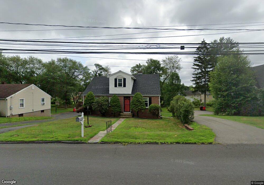
49 Green Rd Meriden, CT 06450
Estimated Value: $336,000 - $394,000
4
Beds
2
Baths
1,879
Sq Ft
$190/Sq Ft
Est. Value
About This Home
This home is located at 49 Green Rd, Meriden, CT 06450 and is currently estimated at $357,807, approximately $190 per square foot. 49 Green Rd is a home located in New Haven County with nearby schools including Israel Putnam School, Washington Middle School, and Francis T. Maloney High School.
Ownership History
Date
Name
Owned For
Owner Type
Purchase Details
Closed on
Oct 30, 1998
Sold by
Delaney Brian D and Delaney Yvonne L
Bought by
Lavoie Ronald P and Bathrick Christine M
Current Estimated Value
Home Financials for this Owner
Home Financials are based on the most recent Mortgage that was taken out on this home.
Original Mortgage
$86,400
Interest Rate
6.68%
Purchase Details
Closed on
Oct 29, 1990
Sold by
Charest Jane R
Bought by
Delaney Brian D
Purchase Details
Closed on
Aug 24, 1990
Sold by
Rasmussen Marion H
Bought by
Charest Jane R
Create a Home Valuation Report for This Property
The Home Valuation Report is an in-depth analysis detailing your home's value as well as a comparison with similar homes in the area
Home Values in the Area
Average Home Value in this Area
Purchase History
| Date | Buyer | Sale Price | Title Company |
|---|---|---|---|
| Lavoie Ronald P | $89,500 | -- | |
| Delaney Brian D | $118,000 | -- | |
| Charest Jane R | $80,000 | -- |
Source: Public Records
Mortgage History
| Date | Status | Borrower | Loan Amount |
|---|---|---|---|
| Closed | Charest Jane R | $147,794 | |
| Closed | Charest Jane R | $201,000 | |
| Closed | Charest Jane R | $126,350 | |
| Closed | Charest Jane R | $86,400 |
Source: Public Records
Tax History
| Year | Tax Paid | Tax Assessment Tax Assessment Total Assessment is a certain percentage of the fair market value that is determined by local assessors to be the total taxable value of land and additions on the property. | Land | Improvement |
|---|---|---|---|---|
| 2025 | $5,782 | $144,200 | $50,750 | $93,450 |
| 2024 | $5,236 | $144,200 | $50,750 | $93,450 |
| 2023 | $5,017 | $144,200 | $50,750 | $93,450 |
| 2022 | $4,757 | $144,200 | $50,750 | $93,450 |
| 2021 | $4,476 | $109,550 | $41,930 | $67,620 |
| 2020 | $4,476 | $109,550 | $41,930 | $67,620 |
| 2019 | $4,476 | $109,550 | $41,930 | $67,620 |
| 2018 | $4,496 | $109,550 | $41,930 | $67,620 |
| 2017 | $4,373 | $109,550 | $41,930 | $67,620 |
| 2016 | $4,210 | $114,940 | $38,570 | $76,370 |
| 2015 | $4,210 | $114,940 | $38,570 | $76,370 |
| 2014 | $4,108 | $114,940 | $38,570 | $76,370 |
Source: Public Records
Map
Nearby Homes
- 219 S Broad St Unit S102
- 219 S Broad St Unit S108
- 34 Stanley St
- 90 Plumb Ave
- 454 S Curtis St
- 101 Ridgefield St
- 65 Cass St
- 206 Gale Ave
- 7 Brookdale Rd
- 497 Parker Ave S
- 488 Parker Ave S
- 948 Old Colony Rd
- 40 Broad St
- 328 Curtis St
- 61 Meetinghouse Village Unit 5
- 55 Meetinghouse Village Unit 2
- 104 Gale Ave
- 8 Whispering Pines Dr
- 23 Staffordshire Commons Dr
- 78 Kennedy Dr
Your Personal Tour Guide
Ask me questions while you tour the home.