49 Grove Point Westport, CT 06880
Compo NeighborhoodEstimated Value: $1,266,000 - $2,261,000
3
Beds
3
Baths
1,786
Sq Ft
$902/Sq Ft
Est. Value
About This Home
This home is located at 49 Grove Point, Westport, CT 06880 and is currently estimated at $1,611,376, approximately $902 per square foot. 49 Grove Point is a home located in Fairfield County with nearby schools including Green's Farms School, Bedford Middle School, and Staples High School.
Ownership History
Date
Name
Owned For
Owner Type
Purchase Details
Closed on
Jun 5, 2003
Sold by
Lind Douglass T and Lind Penelope D
Bought by
Camarda Richard
Current Estimated Value
Home Financials for this Owner
Home Financials are based on the most recent Mortgage that was taken out on this home.
Original Mortgage
$396,000
Interest Rate
5.83%
Create a Home Valuation Report for This Property
The Home Valuation Report is an in-depth analysis detailing your home's value as well as a comparison with similar homes in the area
Home Values in the Area
Average Home Value in this Area
Purchase History
| Date | Buyer | Sale Price | Title Company |
|---|---|---|---|
| Camarda Richard | $440,000 | -- | |
| Camarda Richard | $440,000 | -- |
Source: Public Records
Mortgage History
| Date | Status | Borrower | Loan Amount |
|---|---|---|---|
| Open | Camarda Richard | $507,000 | |
| Closed | Camarda Richard | $515,000 | |
| Closed | Camarda Richard | $506,250 | |
| Closed | Camarda Richard | $396,000 |
Source: Public Records
Tax History Compared to Growth
Tax History
| Year | Tax Paid | Tax Assessment Tax Assessment Total Assessment is a certain percentage of the fair market value that is determined by local assessors to be the total taxable value of land and additions on the property. | Land | Improvement |
|---|---|---|---|---|
| 2025 | $10,199 | $540,800 | $303,000 | $237,800 |
| 2024 | $10,070 | $540,800 | $303,000 | $237,800 |
| 2023 | $9,924 | $540,800 | $303,000 | $237,800 |
| 2022 | $9,772 | $540,800 | $303,000 | $237,800 |
| 2021 | $8,426 | $540,800 | $303,000 | $237,800 |
| 2020 | $10,987 | $657,500 | $343,800 | $313,700 |
| 2019 | $11,085 | $657,500 | $343,800 | $313,700 |
| 2018 | $11,085 | $657,500 | $343,800 | $313,700 |
| 2017 | $11,085 | $657,500 | $343,800 | $313,700 |
| 2016 | $11,085 | $657,500 | $343,800 | $313,700 |
| 2015 | $11,067 | $611,800 | $278,800 | $333,000 |
| 2014 | $10,976 | $611,800 | $278,800 | $333,000 |
Source: Public Records
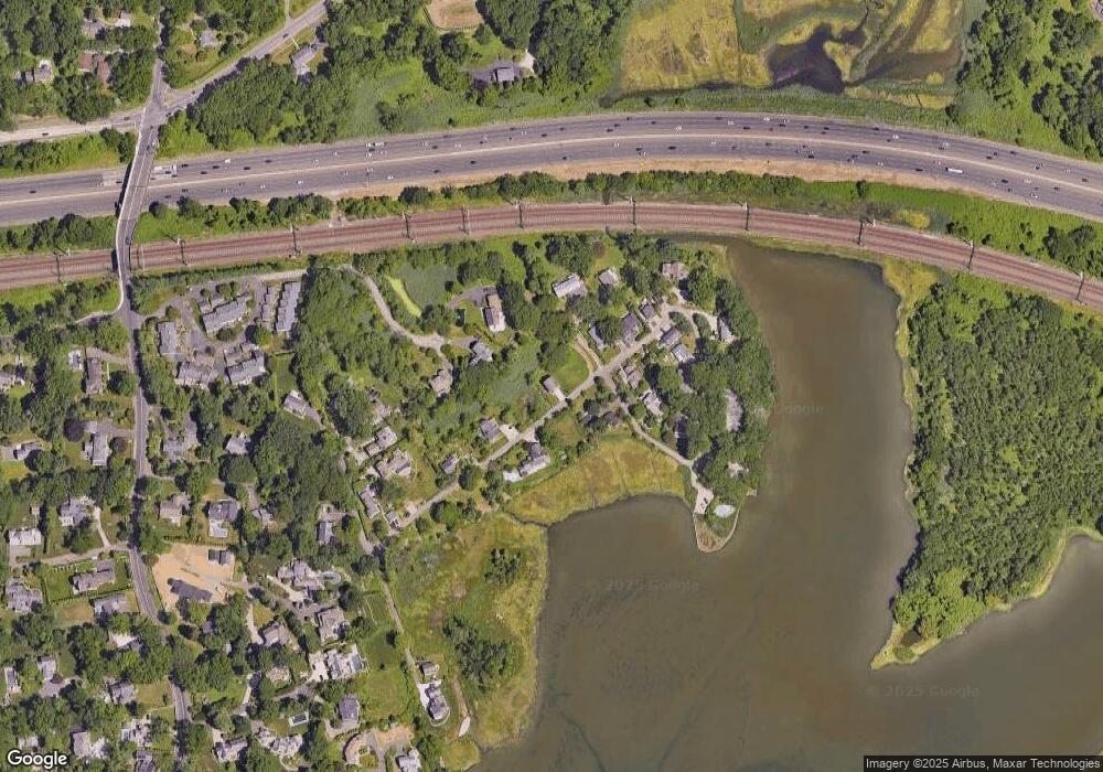
Map
Nearby Homes
- 61 Edgewater Commons Ln
- 11 Edgewater Hillside
- 109 Greens Farms Rd
- 32 Edgewater Hillside
- 123 Greens Farms Rd
- 24 Edgemarth Hill Rd
- 195 Hillspoint Rd
- 46 Compo Mill Cove
- 46 Compo Mill Cove
- 48 Compo Mill Cove
- 216 Hillspoint Rd
- 33 Burnham Hill
- 11 Sterling Dr
- 39 Compo Pkwy
- 25 Ellery Ln
- 68 Center St
- 260 Hillspoint Rd
- 221 Greens Farms Rd
- 5 Hidden Hill Rd
- 171 Compo Rd S
- 63 Edgewater Commons Ln
- 65 Grove Point
- 115 Grove Point
- 53 Grove Point
- 69 Grove Point
- 64 Grove Point
- 20 Grove Point
- 43 Grove Point
- 67 Grove Point
- 55 Grove Point
- 60 Edgewater Commons Ln
- 37 Grove Point
- 57 Grove Point
- 114 Grove Point
- 88 Grove Point
- 61 Edgewater Commons Ln Unit Studio
- 71 Grove Point
- 84 Grove Point
- 94 Grove Point
- 83 Grove Point