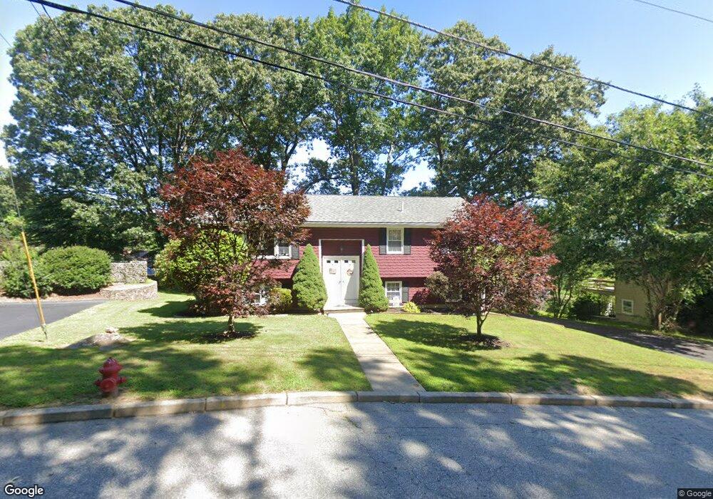
49 Hawthorn Cir Woonsocket, RI 02895
Bernon District NeighborhoodEstimated Value: $408,000 - $435,000
3
Beds
2
Baths
1,138
Sq Ft
$372/Sq Ft
Est. Value
About This Home
This home is located at 49 Hawthorn Cir, Woonsocket, RI 02895 and is currently estimated at $423,174, approximately $371 per square foot. 49 Hawthorn Cir is a home located in Providence County with nearby schools including Woonsocket High School, Rise Prep Mayoral Academy Middle School, and Rise Prep Mayoral Academy.
Ownership History
Date
Name
Owned For
Owner Type
Purchase Details
Closed on
Jun 3, 1997
Sold by
Dodd Kevin G
Bought by
Mansolillo Daniel J and Sugarman Lloyd B
Current Estimated Value
Purchase Details
Closed on
Dec 1, 1994
Sold by
Lacey Michael R and Lacey Cecile
Bought by
Lasalle Kenneth R and Lasalle Sandra
Home Financials for this Owner
Home Financials are based on the most recent Mortgage that was taken out on this home.
Original Mortgage
$99,200
Interest Rate
8.81%
Mortgage Type
Purchase Money Mortgage
Create a Home Valuation Report for This Property
The Home Valuation Report is an in-depth analysis detailing your home's value as well as a comparison with similar homes in the area
Home Values in the Area
Average Home Value in this Area
Purchase History
| Date | Buyer | Sale Price | Title Company |
|---|---|---|---|
| Mansolillo Daniel J | $45,000 | -- | |
| Lasalle Kenneth R | $124,000 | -- | |
| Mansolillo Daniel J | $45,000 | -- | |
| Lasalle Kenneth R | $124,000 | -- |
Source: Public Records
Mortgage History
| Date | Status | Borrower | Loan Amount |
|---|---|---|---|
| Open | Lasalle Kenneth R | $95,700 | |
| Previous Owner | Lasalle Kenneth R | $99,200 |
Source: Public Records
Tax History
| Year | Tax Paid | Tax Assessment Tax Assessment Total Assessment is a certain percentage of the fair market value that is determined by local assessors to be the total taxable value of land and additions on the property. | Land | Improvement |
|---|---|---|---|---|
| 2025 | $4,416 | $393,200 | $108,600 | $284,600 |
| 2024 | $4,480 | $308,100 | $91,500 | $216,600 |
| 2023 | $4,307 | $308,100 | $91,500 | $216,600 |
| 2022 | $4,307 | $308,100 | $91,500 | $216,600 |
| 2021 | $4,954 | $208,600 | $75,600 | $133,000 |
| 2020 | $5,006 | $208,600 | $75,600 | $133,000 |
| 2018 | $5,023 | $208,600 | $75,600 | $133,000 |
| 2017 | $6,339 | $210,600 | $80,000 | $130,600 |
| 2016 | $6,706 | $210,600 | $80,000 | $130,600 |
| 2015 | $7,704 | $210,600 | $80,000 | $130,600 |
| 2014 | $5,054 | $200,900 | $88,100 | $112,800 |
Source: Public Records
Map
Nearby Homes
- 374 Thibeault Ave
- 378 Gauthier Dr
- 2 Marian Ln
- 39 Louise St
- 414 Rhode Island Ave
- 252 Railroad St
- 49 Poisson St
- 0 Irving Lot 206 Ave Unit 1397321
- 36 Old Louisquisset Pike Unit 210
- 36 Old Louisquisset Pike Unit 310
- 36 Old Louisquisset Pike Unit 308
- 36 Old Louisquisset Pike Unit 208
- 36 Old Louisquisset Pike Unit 108
- 36 Old Louisquisset Pike Unit 101
- 59 Cooper Ave
- 40 Old Louisquisset Pike Unit 801H
- 0 Cranston St
- 0 Irving Lot 192 Ave Unit 1383138
- 106 Bouvier Ave
- 0 Laflamme Ave
- 55 Hawthorn Cir
- 46 Blue Stone Dr
- 28 Bluestone Dr
- 28 Blue Stone Dr
- 80 Blue Stone Dr
- 100 Blue Stone Dr
- 100 Bluestone Dr
- 87 Hawthorn Cir
- 543 Lydia Ave
- 44 Hawthorn Cir
- 6 Blue Stone Dr
- 120 Blue Stone Dr
- 76 Hawthorn Cir
- 571 Lydia Ave
- 0 Bluestone Dr
- 120 Bluestone Dr
- 0 Hawthorne Cir
- 57 Blue Stone Dr
- 17 Bluestone Dr
- 35 Bluestone Dr
Your Personal Tour Guide
Ask me questions while you tour the home.